5359 Murfreesboro Rd College Grove, TN 37046
College Grove NeighborhoodEstimated Value: $1,089,476 - $1,967,000
--
Bed
5
Baths
3,866
Sq Ft
$368/Sq Ft
Est. Value
About This Home
This home is located at 5359 Murfreesboro Rd, College Grove, TN 37046 and is currently estimated at $1,423,619, approximately $368 per square foot. 5359 Murfreesboro Rd is a home located in Williamson County with nearby schools including College Grove Elementary School, Fred J. Page Middle School, and Fred J. Page High School.
Ownership History
Date
Name
Owned For
Owner Type
Purchase Details
Closed on
Aug 10, 2015
Sold by
Fly Barry L and Fly Bonningene B
Bought by
Scott Anita H
Current Estimated Value
Purchase Details
Closed on
Feb 26, 1997
Sold by
Fly Barry L
Bought by
State Of Tennessee
Purchase Details
Closed on
Feb 25, 1997
Bought by
Fly Barry L
Create a Home Valuation Report for This Property
The Home Valuation Report is an in-depth analysis detailing your home's value as well as a comparison with similar homes in the area
Home Values in the Area
Average Home Value in this Area
Purchase History
| Date | Buyer | Sale Price | Title Company |
|---|---|---|---|
| Scott Anita H | $550,000 | Attorney | |
| State Of Tennessee | $74,125 | -- | |
| Fly Barry L | -- | -- |
Source: Public Records
Tax History Compared to Growth
Tax History
| Year | Tax Paid | Tax Assessment Tax Assessment Total Assessment is a certain percentage of the fair market value that is determined by local assessors to be the total taxable value of land and additions on the property. | Land | Improvement |
|---|---|---|---|---|
| 2025 | $2,840 | $229,250 | $87,125 | $142,125 |
| 2024 | $2,840 | $151,050 | $36,300 | $114,750 |
| 2023 | $2,840 | $151,050 | $36,300 | $114,750 |
| 2022 | $2,840 | $151,050 | $36,300 | $114,750 |
| 2021 | $2,840 | $151,050 | $36,300 | $114,750 |
| 2020 | $2,484 | $111,875 | $24,200 | $87,675 |
| 2019 | $2,484 | $111,875 | $24,200 | $87,675 |
| 2018 | $2,405 | $111,875 | $24,200 | $87,675 |
| 2017 | $2,405 | $111,875 | $24,200 | $87,675 |
| 2016 | $2,303 | $107,125 | $24,200 | $82,925 |
| 2015 | -- | $88,950 | $18,625 | $70,325 |
| 2014 | -- | $88,950 | $18,625 | $70,325 |
Source: Public Records
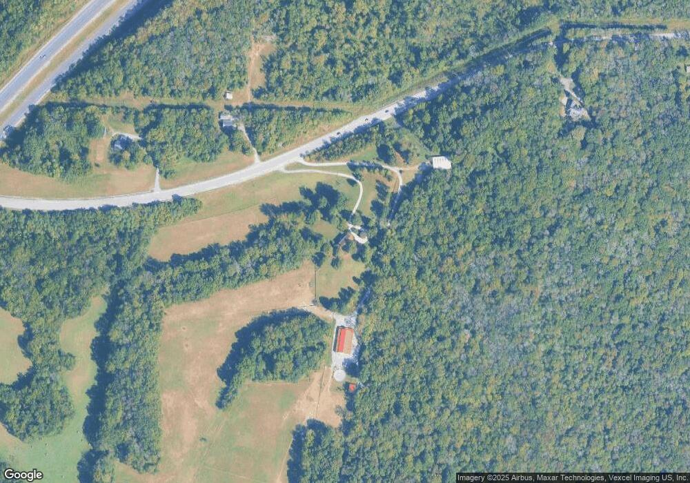
Map
Nearby Homes
- 12200 Franklin Rd
- 10373 Spantown Rd
- 9780 Spanntown Rd
- 2958 Spanntown Rd
- 2971 Spanntown Rd
- 11065 Franklin Rd
- 0 Blythe Meadow Ln
- 8362 Patterson Rd
- 9147 Spantown Rd
- 0 Patterson Rd
- 7492 Old Shores Rd
- 8239 Hawkins Rd
- 2956 Spanntown Rd
- 10897 Patterson Rd
- 7477 Almaville Rd
- 0 Murfreesboro Rd Unit RTC2924031
- 0 Murfreesboro Rd Unit RTC2795676
- 1714 Allwood Ave
- Palladio 2-Story Plan at South Haven
- Lehigh Plan at South Haven
- 5350 Murfreesboro Rd
- 5346 Murfreesboro Rd
- 5375 Murfreesboro Rd
- 5393 Murfreesboro Rd
- 1123 Proprietors Pl (Lot 123)
- 2124 New Castle Rd
- 1208 Proprietors Pl (124)
- 47 Batbriar Rd - (47)
- 123 Batbriar Rd (123)
- 5328 Murfreesboro Rd
- 2110 New Castle Rd
- 0 Rehobath Rd Unit 1928558
- 0 Rehobath Rd Unit 1928559
- 0 Rehobath Rd Unit 1927770
- 0 Rehobath Rd
- 0 Rehobath Rd Unit RTC2638312
- 0 Rehobath Rd Unit RTC2638303
- 0 Rehobath Rd Unit RTC2360194
- 0 Rehobath Rd Unit RTC2298246
- 1055 Batbriar Rd (55)