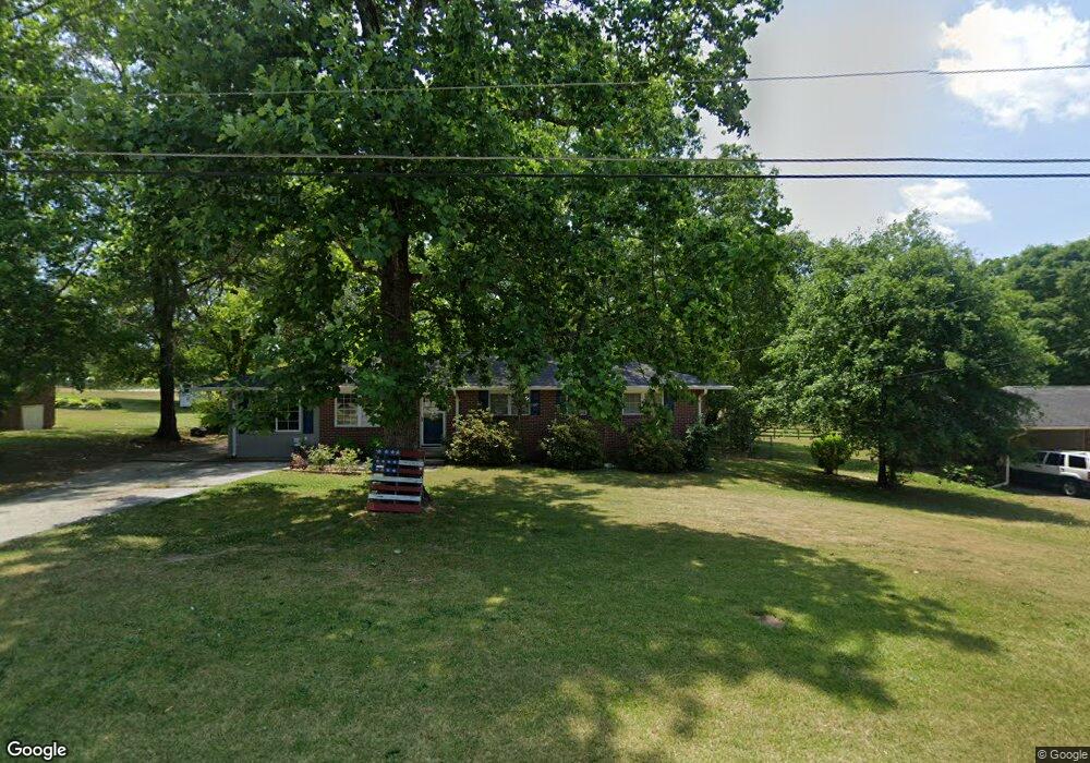
536 Andrews Rd Toccoa, GA 30577
Estimated Value: $187,549 - $219,000
3
Beds
2
Baths
1,200
Sq Ft
$171/Sq Ft
Est. Value
About This Home
This home is located at 536 Andrews Rd, Toccoa, GA 30577 and is currently estimated at $205,637, approximately $171 per square foot. 536 Andrews Rd is a home located in Stephens County with nearby schools including Stephens County High School.
Ownership History
Date
Name
Owned For
Owner Type
Purchase Details
Closed on
May 12, 2006
Sold by
Brown Michael
Bought by
Tatum Justin Todd
Current Estimated Value
Home Financials for this Owner
Home Financials are based on the most recent Mortgage that was taken out on this home.
Original Mortgage
$63,000
Outstanding Balance
$36,508
Interest Rate
6.41%
Mortgage Type
New Conventional
Estimated Equity
$169,129
Purchase Details
Closed on
Oct 14, 2003
Bought by
<Buyer Info Not Present>
Purchase Details
Closed on
Jun 13, 2001
Bought by
<Buyer Info Not Present>
Purchase Details
Closed on
Mar 1, 1988
Bought by
<Buyer Info Not Present>
Create a Home Valuation Report for This Property
The Home Valuation Report is an in-depth analysis detailing your home's value as well as a comparison with similar homes in the area
Home Values in the Area
Average Home Value in this Area
Purchase History
| Date | Buyer | Sale Price | Title Company |
|---|---|---|---|
| Tatum Justin Todd | $85,000 | -- | |
| <Buyer Info Not Present> | $85,000 | -- | |
| <Buyer Info Not Present> | $68,500 | -- | |
| <Buyer Info Not Present> | $45,000 | -- |
Source: Public Records
Mortgage History
| Date | Status | Borrower | Loan Amount |
|---|---|---|---|
| Open | Tatum Justin Todd | $63,000 |
Source: Public Records
Tax History Compared to Growth
Tax History
| Year | Tax Paid | Tax Assessment Tax Assessment Total Assessment is a certain percentage of the fair market value that is determined by local assessors to be the total taxable value of land and additions on the property. | Land | Improvement |
|---|---|---|---|---|
| 2024 | $1,208 | $35,584 | $2,268 | $33,316 |
| 2023 | $1,108 | $32,999 | $2,268 | $30,731 |
| 2022 | $868 | $31,151 | $2,268 | $28,883 |
| 2021 | $813 | $28,006 | $2,268 | $25,738 |
| 2020 | $837 | $28,500 | $2,268 | $26,232 |
| 2019 | $840 | $28,500 | $2,268 | $26,232 |
| 2018 | $840 | $28,500 | $2,268 | $26,232 |
| 2017 | $854 | $28,500 | $2,268 | $26,232 |
| 2016 | $840 | $28,500 | $2,268 | $26,232 |
| 2015 | $789 | $25,752 | $2,268 | $23,484 |
| 2014 | $802 | $25,753 | $2,268 | $23,484 |
| 2013 | -- | $26,162 | $2,268 | $23,893 |
Source: Public Records
Map
Nearby Homes
- 136 Julia Ct
- 189 Julia Ln
- 140 Julia Ct
- 475 Hilltop Way
- 372 Hilltop Way
- 490 Addington Dr
- 739 Poplar St
- 0 Valley Dr Unit 7675761
- 0 Valley Dr Unit 10600268
- 0 Switchback Run Unit 10437289
- 275 Southern Trace
- 255 Southern Trace
- 294 Stancil Dr
- 278 Stancil Dr
- 151 Richardson St
- 253 Stancil Dr
- 229 Hilltop Ln
- 97 Hillside Dr
- 226 Poplar St
- 1387 Mize Rd
- 516 Andrews Rd
- 554 Andrews Rd
- 0 Anderson Rd
- 0 Anderson Rd Unit 7626611
- 535 Andrews Rd
- 517 Andrews Rd
- 551 Andrews Rd
- 1356 Skyline Dr
- 488 Andrews Rd
- 32 Julia Ct
- 32 Julia Ct Unit 117
- 487 Andrews Rd
- 689 Hilltop Way
- 1248 Skyline Dr
- 466 Andrews Rd
- 15 Julia Ct
- 42 Julia Ct
- 469 Andrews Rd
- 1396 Skyline Dr
- 686 Hilltop Way