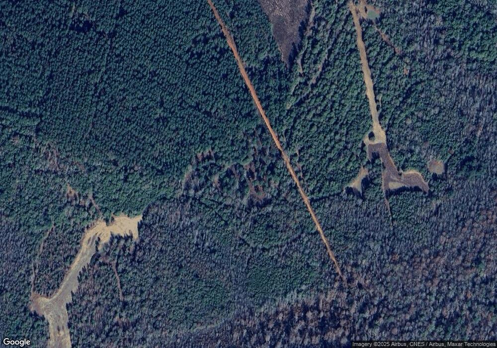
536 Arrington Rd Bartow, GA 30413
Estimated Value: $55,423 - $75,000
Studio
--
Bath
840
Sq Ft
$78/Sq Ft
Est. Value
About This Home
This home is located at 536 Arrington Rd, Bartow, GA 30413 and is currently estimated at $65,212, approximately $77 per square foot. 536 Arrington Rd is a home with nearby schools including Ridge Road Primary School, Ridge Road Elementary School, and T.J. Elder Middle School.
Ownership History
Date
Name
Owned For
Owner Type
Purchase Details
Closed on
May 2, 2002
Sold by
Cowart Tommy
Bought by
Simpson Christopher
Current Estimated Value
Purchase Details
Closed on
Apr 25, 2002
Sold by
Smith Henry Raymond
Bought by
Cowart Tommy
Purchase Details
Closed on
Aug 6, 2001
Sold by
Bowles Peggy
Bought by
Cowart Tommy
Purchase Details
Closed on
Nov 9, 2000
Sold by
Bowles William and Bowles Peg
Bought by
Bowles Peggy
Purchase Details
Closed on
Jul 1, 1999
Sold by
Todd Ann
Bought by
Bowles William and Bowles Peg
Create a Home Valuation Report for This Property
The Home Valuation Report is an in-depth analysis detailing your home's value as well as a comparison with similar homes in the area
Purchase History
| Date | Buyer | Sale Price | Title Company |
|---|---|---|---|
| Simpson Christopher | $9,000 | -- | |
| Cowart Tommy | $1,500 | -- | |
| Cowart Tommy | $7,200 | -- | |
| Bowles Peggy | -- | -- | |
| Bowles William | $7,500 | -- |
Source: Public Records
Tax History
| Year | Tax Paid | Tax Assessment Tax Assessment Total Assessment is a certain percentage of the fair market value that is determined by local assessors to be the total taxable value of land and additions on the property. | Land | Improvement |
|---|---|---|---|---|
| 2025 | $315 | $9,584 | $7,920 | $1,664 |
| 2024 | $315 | $9,584 | $7,920 | $1,664 |
| 2023 | $139 | $4,784 | $3,120 | $1,664 |
| 2022 | $140 | $4,275 | $0 | $4,275 |
| 2021 | $143 | $3,977 | $0 | $3,977 |
| 2020 | $145 | $3,975 | $0 | $3,975 |
| 2019 | $144 | $3,944 | $0 | $3,944 |
| 2018 | $144 | $3,959 | $0 | $3,959 |
| 2017 | $114 | $4,362 | $0 | $4,362 |
| 2015 | $396 | $806 | $3,139 | $9,152 |
| 2014 | $396 | $18,531 | $9,315 | $9,216 |
| 2013 | $396 | $18,666 | $9,315 | $9,351 |
Source: Public Records
Map
Nearby Homes
- 0 Newman Smith Rd Unit 10573699
- 0 Newman Smith Rd Unit 24281399
- 1274 Georgia 171
- 7170 Church St
- 7782 Church St
- 2829 Baldee Rd
- 1055 Scruggs Cir
- 5758 Old Hwy 1
- 5758 Old Us Highway 1
- 0 Mill Creek Rd Unit 10676048
- 0 Mill Creek Rd Unit 10680277
- Lt.1 Harrison-Davisboro Rd Unit 1
- Lt.1 Harrison-Davisboro Rd
- 65 W Calhoun St
- 209 S Main St
- 35 Cheatham St
- 1301 Lincoln Park Rd
- 1321 Brett Rd
- 69 S Main St
- 00 Oak Grove
- 305 Arrington Rd
- 236 Arrington Rd
- 16404 Highway 24 E
- 9027 Heards Bridge Rd
- 8680 Heards Bridge Rd
- 8466 Heards Bridge Rd
- 8466 Heards Bridge Rd
- 8515 Heards Bridge Rd
- 8396 Heards Bridge Rd
- 8396 Heards Bridge Rd
- 0 Highway 24 Unit 269595
- 0 Highway 24 Unit 394658
- 0 Newman Smith Rd Unit 3229741
- 0 Newman Smith Rd Unit 7354557
- 0 Newman Smith Rd Unit 5018554
- 0 Newman Smith Rd Unit 20590671
- 0 Newman Smith Rd Unit 418967
Your Personal Tour Guide
Ask me questions while you tour the home.
