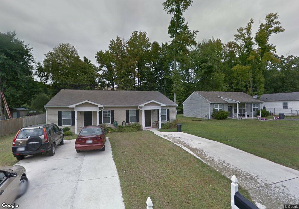
536 Baltimore St Aberdeen, MD 21001
Estimated Value: $191,096 - $235,000
--
Bed
1
Bath
1,056
Sq Ft
$198/Sq Ft
Est. Value
About This Home
This home is located at 536 Baltimore St, Aberdeen, MD 21001 and is currently estimated at $209,274, approximately $198 per square foot. 536 Baltimore St is a home located in Harford County with nearby schools including Bakerfield Elementary School, Aberdeen Middle School, and Aberdeen High School.
Ownership History
Date
Name
Owned For
Owner Type
Purchase Details
Closed on
Jun 22, 2012
Sold by
Habitat For Humanity Susquehanna Inc
Bought by
Cotton Beverly L
Current Estimated Value
Home Financials for this Owner
Home Financials are based on the most recent Mortgage that was taken out on this home.
Original Mortgage
$30,000
Outstanding Balance
$20,816
Interest Rate
3.78%
Mortgage Type
Stand Alone Second
Estimated Equity
$188,458
Purchase Details
Closed on
Nov 5, 2010
Sold by
Undisclosed
Bought by
Harford Habitat For Humanity Inc
Create a Home Valuation Report for This Property
The Home Valuation Report is an in-depth analysis detailing your home's value as well as a comparison with similar homes in the area
Home Values in the Area
Average Home Value in this Area
Purchase History
| Date | Buyer | Sale Price | Title Company |
|---|---|---|---|
| Cotton Beverly L | $130,000 | Titlepoint Corporation | |
| Harford Habitat For Humanity Inc | -- | -- |
Source: Public Records
Mortgage History
| Date | Status | Borrower | Loan Amount |
|---|---|---|---|
| Open | Cotton Beverly L | $30,000 | |
| Open | Cotton Beverly L | $101,100 |
Source: Public Records
Tax History Compared to Growth
Tax History
| Year | Tax Paid | Tax Assessment Tax Assessment Total Assessment is a certain percentage of the fair market value that is determined by local assessors to be the total taxable value of land and additions on the property. | Land | Improvement |
|---|---|---|---|---|
| 2025 | $1,339 | $153,333 | $0 | $0 |
| 2024 | $1,339 | $143,367 | $0 | $0 |
| 2023 | $1,272 | $133,400 | $41,000 | $92,400 |
| 2022 | $1,258 | $132,000 | $0 | $0 |
| 2021 | $1,299 | $130,600 | $0 | $0 |
| 2020 | $1,299 | $129,200 | $41,000 | $88,200 |
| 2019 | $1,299 | $129,200 | $41,000 | $88,200 |
| 2018 | $1,288 | $129,200 | $41,000 | $88,200 |
| 2017 | $1,296 | $130,000 | $0 | $0 |
| 2016 | -- | $130,000 | $0 | $0 |
| 2015 | $313 | $130,000 | $0 | $0 |
| 2014 | $313 | $130,000 | $0 | $0 |
Source: Public Records
Map
Nearby Homes
- 722 Bur Oak Ct Unit 77
- 615 Pinehurst St
- 426 Washington St
- 716 Clayton St
- 647 Elm St
- 435 Edmund St
- 0 Harford St Unit MDHR2039982
- 363 Stratford Ave
- 770 Custis St
- 406 Ford St
- 515 S Law St
- 754 Custis St
- 321 Woodland Green Ct
- 648 S Rogers St
- 418 Hiobs Ln
- 609 S Rogers St
- 21 Gunnison Dr
- 414 S Parke St
- 519 S Parke St
- 304 S Parke St
- 538 Baltimore St
- 523 Baltimore St
- 540 Baltimore St
- 521 Baltimore St
- 527 Baltimore St
- 519 Baltimore St
- 601 Cornell St
- 517 Baltimore St
- 686 Holly Cir
- 542 Baltimore St
- 515 Baltimore St
- 602 3rd St
- 606 3rd St
- 539 Cornell St
- 686 Holly Drive Holly Circ Dr
- 610 3rd St
- 511 Baltimore St
- 612 3rd St
- 626 Oak Ct
- 627 Oak Ct