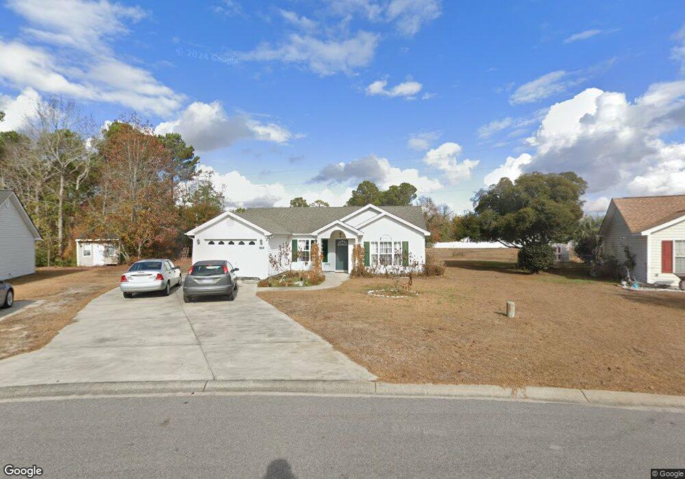
536 Crusade Cir Conway, SC 29526
Estimated Value: $257,000 - $310,000
3
Beds
2
Baths
1,182
Sq Ft
$239/Sq Ft
Est. Value
About This Home
This home is located at 536 Crusade Cir, Conway, SC 29526 and is currently estimated at $282,496, approximately $238 per square foot. 536 Crusade Cir is a home located in Horry County with nearby schools including Palmetto Bays Elementary School, Black Water Middle School, and Carolina Forest High School.
Ownership History
Date
Name
Owned For
Owner Type
Purchase Details
Closed on
May 3, 2002
Sold by
Beverly Construction Co Inc
Bought by
Ruse Michael S and Ruse Lisa Ivers
Current Estimated Value
Home Financials for this Owner
Home Financials are based on the most recent Mortgage that was taken out on this home.
Original Mortgage
$95,950
Outstanding Balance
$39,021
Interest Rate
7.12%
Mortgage Type
Purchase Money Mortgage
Estimated Equity
$243,475
Purchase Details
Closed on
Dec 4, 2000
Sold by
Godwin Donald D
Bought by
Beverly Construction Co Inc
Create a Home Valuation Report for This Property
The Home Valuation Report is an in-depth analysis detailing your home's value as well as a comparison with similar homes in the area
Home Values in the Area
Average Home Value in this Area
Purchase History
| Date | Buyer | Sale Price | Title Company |
|---|---|---|---|
| Ruse Michael S | $101,000 | -- | |
| Beverly Construction Co Inc | $74,700 | -- | |
| Godwin Donald D | $74,700 | -- |
Source: Public Records
Mortgage History
| Date | Status | Borrower | Loan Amount |
|---|---|---|---|
| Open | Ruse Michael S | $95,950 |
Source: Public Records
Tax History
| Year | Tax Paid | Tax Assessment Tax Assessment Total Assessment is a certain percentage of the fair market value that is determined by local assessors to be the total taxable value of land and additions on the property. | Land | Improvement |
|---|---|---|---|---|
| 2025 | $657 | $0 | $0 | $0 |
| 2024 | $657 | $10,855 | $3,789 | $7,066 |
| 2023 | $617 | $5,374 | $1,245 | $4,129 |
| 2021 | $598 | $6,014 | $1,398 | $4,616 |
| 2020 | $512 | $6,014 | $1,398 | $4,616 |
| 2019 | $512 | $6,014 | $1,398 | $4,616 |
| 2018 | $463 | $4,674 | $1,078 | $3,596 |
| 2017 | $448 | $4,674 | $1,078 | $3,596 |
| 2016 | -- | $4,674 | $1,078 | $3,596 |
| 2015 | $448 | $4,674 | $1,078 | $3,596 |
| 2014 | $414 | $4,674 | $1,078 | $3,596 |
Source: Public Records
Map
Nearby Homes
- 761 Drawbridge Dr Unit CASTLEWOOD
- 2208 Blair Ct
- 800 Riverbirch Dr
- 1011 Rudder Ct
- 101 Peninsula Ct
- 3599 Ashridge Way
- 208 Myrtle Grande Dr
- 153 Myrtle Grande Dr
- 973 Castlewood Dr
- 1127 Lancelot Ln
- 4045 Elmridge Ct
- 4001 Elmridge Ct
- 4044 Elmridge Ct
- 4048 Elmridge Ct
- 827 Helms Way
- 709 Eastridge Dr
- 1705 Brookshade Ct
- 2043 Palm Meadows Way Unit Lot 102
- 2047 Palm Meadows Way Unit Lot 103
- 104 Persivant Dr
- 534 Crusade Cir Unit CASTLEWOOD
- 534 Crusade Cir
- 538 Crusade Cir
- 532 Crusade Cir
- 2041 Hawksmoor Dr Unit Castlewood
- 2041 Hawksmoor Dr
- 540 Crusade Cir
- 535 Crusade Cir
- 2037 Hawksmoor Dr
- 530 Crusade Cir
- 400 Gatehouse Ct
- 2033 Hawksmoor Dr
- 542 Crusade Cir
- 402 Gatehouse Ct
- 541 Crusade Cir
- 528 Crusade Cir
- 546 Crusade Cir
- 2045 Hawksmoor Dr
- 543 Crusade Cir
- 4007 Fortress Ct
Your Personal Tour Guide
Ask me questions while you tour the home.