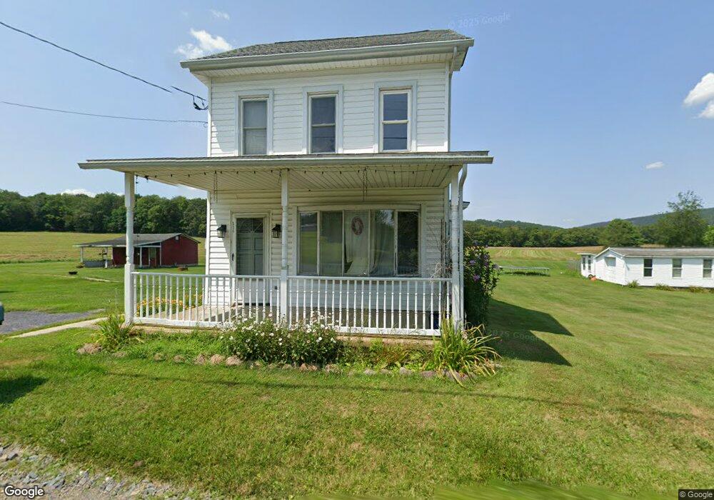
536 Jamestown Dr Lehighton, PA 18235
Estimated Value: $208,443 - $307,000
3
Beds
1
Bath
1,317
Sq Ft
$187/Sq Ft
Est. Value
About This Home
This home is located at 536 Jamestown Dr, Lehighton, PA 18235 and is currently estimated at $245,814, approximately $186 per square foot. 536 Jamestown Dr is a home located in Carbon County with nearby schools including Lehighton Area High School, Sts. Peter & Paul School, and Valley Ridge Academy.
Ownership History
Date
Name
Owned For
Owner Type
Purchase Details
Closed on
Jan 20, 2011
Sold by
Mriss Patrick J and Mriss Dawn K
Bought by
Mriss Patrick J and Mriss Dawn K
Current Estimated Value
Home Financials for this Owner
Home Financials are based on the most recent Mortgage that was taken out on this home.
Original Mortgage
$130,000
Outstanding Balance
$87,949
Interest Rate
4.62%
Mortgage Type
New Conventional
Estimated Equity
$157,865
Purchase Details
Closed on
Jan 2, 2006
Sold by
Eckhart Leonard E and Eckhart Gloria A
Bought by
Mriss Dawn K and Mriss Patrick J
Create a Home Valuation Report for This Property
The Home Valuation Report is an in-depth analysis detailing your home's value as well as a comparison with similar homes in the area
Home Values in the Area
Average Home Value in this Area
Purchase History
| Date | Buyer | Sale Price | Title Company |
|---|---|---|---|
| Mriss Patrick J | -- | None Available | |
| Mriss Dawn K | -- | None Available |
Source: Public Records
Mortgage History
| Date | Status | Borrower | Loan Amount |
|---|---|---|---|
| Open | Mriss Patrick J | $130,000 |
Source: Public Records
Tax History Compared to Growth
Tax History
| Year | Tax Paid | Tax Assessment Tax Assessment Total Assessment is a certain percentage of the fair market value that is determined by local assessors to be the total taxable value of land and additions on the property. | Land | Improvement |
|---|---|---|---|---|
| 2025 | $3,543 | $46,300 | $9,900 | $36,400 |
| 2024 | $3,404 | $46,300 | $9,900 | $36,400 |
| 2023 | $3,369 | $46,300 | $9,900 | $36,400 |
| 2022 | $3,323 | $46,300 | $9,900 | $36,400 |
| 2021 | $3,224 | $46,300 | $9,900 | $36,400 |
| 2020 | $3,143 | $46,300 | $9,900 | $36,400 |
| 2019 | $2,981 | $46,300 | $9,900 | $36,400 |
| 2018 | $2,946 | $46,300 | $9,900 | $36,400 |
| 2017 | $2,946 | $46,300 | $9,900 | $36,400 |
| 2016 | -- | $46,300 | $9,900 | $36,400 |
| 2015 | -- | $46,300 | $9,900 | $36,400 |
| 2014 | -- | $46,300 | $9,900 | $36,400 |
Source: Public Records
Map
Nearby Homes
- 470 N 8th St
- 0 Pine Hollow Dr Unit PACC2006714
- 0 Pine Hollow Dr Unit PM-135085
- 0 Pine Hollow Dr Unit 763487
- 344 Ochre St
- 230 Carbon St
- 715 Beaver Run Dr
- 231 Coal St
- 215 N 4th St
- 0 Dowbush Rd Unit 755071
- 10 Taylor Nicole Cir
- 8 Taylor Nicole Cir
- 15 Robert Henry Cir
- 12 Robert Henry Cir
- 11 Robert Henry Cir
- 7 Robert Henry Cir
- 535 Jamestown Dr
- 504 Jamestown Dr
- 489 Jamestown Dr
- 601 Jamestown Dr
- 438 Jamestown Dr
- 632 Jamestown Dr
- 459 Jamestown Dr
- 667 Jamestown Dr
- 685 Jamestown Dr
- 740 Jamestown Dr
- 338 Jamestown Dr
- 248 Jamestown Rd
- 90 Jamestown Rd
- 321 Jamestown Dr
- 741 Jamestown Dr
- 122 Jamestown Rd
- 772 Jamestown Dr
- 164 Jamestown Rd
- 210 Jamestown Rd
- 280 Jamestown Rd