536 Old Stewart Rd Tennessee Ridge, TN 37178
Estimated Value: $194,381 - $249,000
--
Bed
1
Bath
1,425
Sq Ft
$148/Sq Ft
Est. Value
About This Home
This home is located at 536 Old Stewart Rd, Tennessee Ridge, TN 37178 and is currently estimated at $211,595, approximately $148 per square foot. 536 Old Stewart Rd is a home located in Houston County.
Ownership History
Date
Name
Owned For
Owner Type
Purchase Details
Closed on
Dec 8, 2023
Sold by
Johnson Jeffery Dale
Bought by
Johnson Allen Ray
Current Estimated Value
Purchase Details
Closed on
Mar 26, 2015
Purchase Details
Closed on
Oct 3, 1997
Bought by
Johnson Allen R and Johnson Teri M
Purchase Details
Closed on
Oct 2, 1997
Bought by
Miller Judy L M
Purchase Details
Closed on
Jul 22, 1996
Bought by
Miller Judy L
Purchase Details
Closed on
Dec 20, 1979
Bought by
Miller Carl W and Miller Judy L
Purchase Details
Closed on
Jan 1, 1977
Create a Home Valuation Report for This Property
The Home Valuation Report is an in-depth analysis detailing your home's value as well as a comparison with similar homes in the area
Home Values in the Area
Average Home Value in this Area
Purchase History
| Date | Buyer | Sale Price | Title Company |
|---|---|---|---|
| Johnson Allen Ray | -- | None Listed On Document | |
| -- | -- | -- | |
| Johnson Allen R | $56,500 | -- | |
| Miller Judy L M | -- | -- | |
| Miller Judy L | -- | -- | |
| Miller Carl W | $32,500 | -- | |
| -- | $3,000 | -- |
Source: Public Records
Tax History Compared to Growth
Tax History
| Year | Tax Paid | Tax Assessment Tax Assessment Total Assessment is a certain percentage of the fair market value that is determined by local assessors to be the total taxable value of land and additions on the property. | Land | Improvement |
|---|---|---|---|---|
| 2024 | $763 | $42,875 | $2,900 | $39,975 |
| 2023 | $763 | $42,875 | $2,900 | $39,975 |
| 2022 | $681 | $24,325 | $2,000 | $22,325 |
| 2021 | $681 | $24,325 | $2,000 | $22,325 |
| 2020 | $773 | $24,325 | $2,000 | $22,325 |
| 2019 | $773 | $24,225 | $2,850 | $21,375 |
| 2018 | $773 | $24,225 | $2,850 | $21,375 |
| 2017 | $773 | $24,225 | $2,850 | $21,375 |
| 2016 | $773 | $24,225 | $2,850 | $21,375 |
| 2015 | $773 | $24,225 | $2,850 | $21,375 |
| 2014 | -- | $24,213 | $0 | $0 |
Source: Public Records
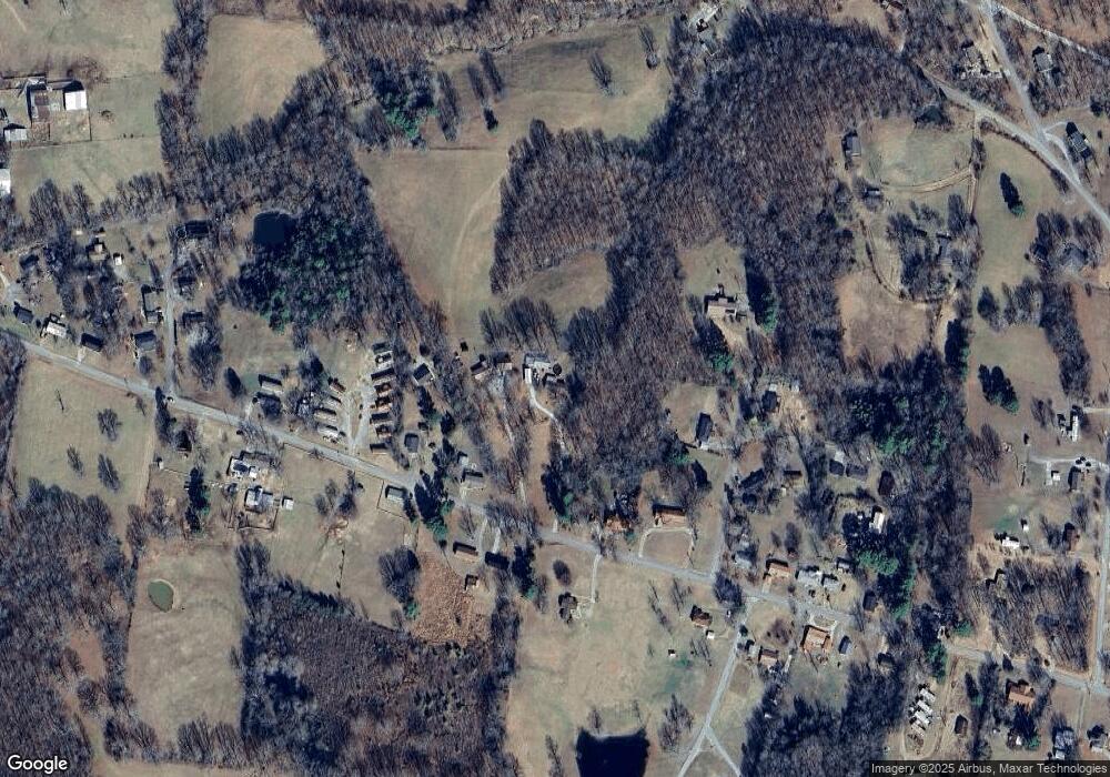
Map
Nearby Homes
- 0 Carl Taylor Rd
- 0 Taylor St Unit RTC2764411
- 0 Taylor St Unit RTC2764420
- 0 Taylor St Unit RTC2764418
- 0 Taylor St Unit RTC2764423
- 0 Taylor St Unit RTC2764415
- 110 Peachtree St
- 155 Rolling Hills Dr
- 745 Moore Hollow Rd
- 550 Lakeview Cir
- 0 Main St N Unit RTC2988796
- 0 Main St N Unit RTC3003416
- 0 Main St N Unit RTC2987692
- 0 Main St N Unit RTC2988794
- 0 Main St N Unit RTC2988130
- 0 Main St N Unit RTC2988128
- 0 Main St N Unit RTC2987687
- 0 Main St N Unit RTC2988129
- 0 Main St N Unit RTC2988126
- 0 Main St N Unit RTC2988125
- 550 Old Stewart Rd
- 580 Old Stewart Rd
- 500 Old Stewart Rd
- 620 Old Stewart Rd
- 75 Towering Oaks Dr
- 470 Old Stewart Rd
- 110 Towering Oaks Dr
- 575 Old Stewart Rd
- 615 Old Stewart Rd
- 100 Towering Oaks Dr
- 50 Towering Oaks Dr
- 430 Old Stewart Rd
- 30 Pond St
- 445 Old Stewart Rd
- 690 Old Stewart Rd
- 410 Old Stewart Rd
- 425 Old Stewart Rd
- 390 Old Stewart Rd
- 695 Old Stewart Rd
- 70 Pond St