536 Whale Ave Myrtle Beach, SC 29588
Burgess NeighborhoodEstimated Value: $334,000 - $342,000
3
Beds
2
Baths
1,951
Sq Ft
$173/Sq Ft
Est. Value
About This Home
This home is located at 536 Whale Ave, Myrtle Beach, SC 29588 and is currently estimated at $337,256, approximately $172 per square foot. 536 Whale Ave is a home located in Horry County with nearby schools including St. James Elementary School, St. James Middle School, and St. James Intermediate.
Ownership History
Date
Name
Owned For
Owner Type
Purchase Details
Closed on
Mar 31, 2008
Sold by
Lennar Carolinas Llc
Bought by
Zawaski Peter P and Burns Joanne K
Current Estimated Value
Home Financials for this Owner
Home Financials are based on the most recent Mortgage that was taken out on this home.
Original Mortgage
$188,750
Outstanding Balance
$121,115
Interest Rate
6.22%
Mortgage Type
Purchase Money Mortgage
Estimated Equity
$216,141
Purchase Details
Closed on
Aug 15, 2007
Sold by
Oliver & Brooks Land Partners Llc
Bought by
Lennar Carolinas Llc
Create a Home Valuation Report for This Property
The Home Valuation Report is an in-depth analysis detailing your home's value as well as a comparison with similar homes in the area
Home Values in the Area
Average Home Value in this Area
Purchase History
| Date | Buyer | Sale Price | Title Company |
|---|---|---|---|
| Zawaski Peter P | $209,740 | -- | |
| Lennar Carolinas Llc | $1,248,000 | None Available |
Source: Public Records
Mortgage History
| Date | Status | Borrower | Loan Amount |
|---|---|---|---|
| Open | Zawaski Peter P | $188,750 |
Source: Public Records
Tax History Compared to Growth
Tax History
| Year | Tax Paid | Tax Assessment Tax Assessment Total Assessment is a certain percentage of the fair market value that is determined by local assessors to be the total taxable value of land and additions on the property. | Land | Improvement |
|---|---|---|---|---|
| 2024 | $704 | $12,862 | $3,460 | $9,402 |
| 2023 | $704 | $7,555 | $1,500 | $6,055 |
| 2021 | $615 | $8,520 | $1,500 | $7,020 |
| 2020 | $528 | $8,520 | $1,500 | $7,020 |
| 2019 | $528 | $9,340 | $1,500 | $7,840 |
| 2018 | $0 | $6,570 | $1,326 | $5,244 |
| 2017 | $0 | $6,570 | $1,326 | $5,244 |
| 2016 | $0 | $6,570 | $1,326 | $5,244 |
| 2015 | -- | $6,570 | $1,326 | $5,244 |
| 2014 | $583 | $6,570 | $1,326 | $5,244 |
Source: Public Records
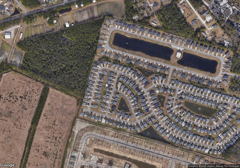
Map
Nearby Homes
- 1408 Brighton Ave
- 356 Whipple Run Loop
- 1440 Brighton Ave
- 337 Skyland Pines Dr
- 381 Winslow Ave
- 357 Winslow Ave
- 9449 Freewoods Rd
- 315 Cattle Drive Cir
- 312 Cattle Drive Cir
- 6009 Ranch View Dr
- 114 Turnberry Ct
- 528 Cattle Drive Cir
- 5286 Stockyard Loop
- 923 Don Donald Ct
- 318 Muirfield Rd
- 9514 Leeds Cir Unit MB
- TBD W Highway 707 Unit Lot D
- 711 Gleneagles Dr
- 6477 Royal Pine Dr
- 302 St Andrews Ln
- 532 Whale Ave
- 1393 Brighton Ave Unit Brighton Woods
- 1393 Brighton Ave
- 1387 Brighton Ave
- 528 Whale Ave
- 629 Menlo Park Ln
- 1383 Brighton Ave
- 618 Menlo Park Ln
- 625 Menlo Park Ln
- 633 Menlo Park Ln
- 621 Menlo Park Ln
- 1407 Brighton Ave Unit 8560 Queensway Blvd.
- 524 Whale Ave
- 637 Menlo Park Ln
- 612 Menlo Park Ln
- 1377 Brighton Ave Unit Brighton Woods
- 1377 Brighton Ave
- 617 Menlo Park Ln Unit Brighton Woods Lot 3
- 617 Menlo Park Ln
- 1371 Brighton Ave