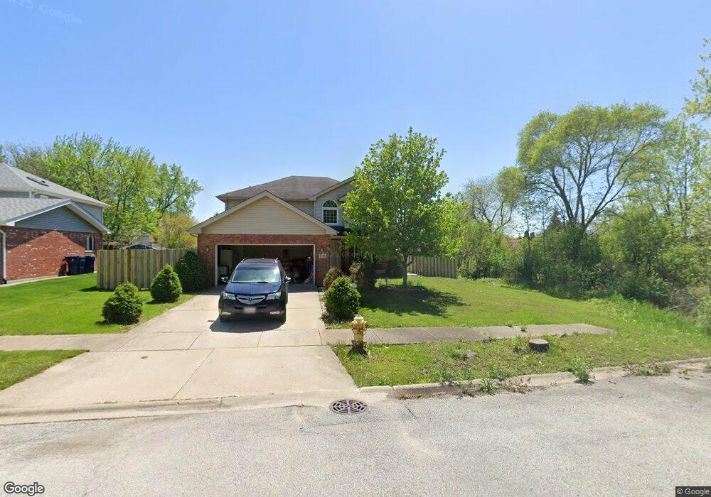
5361 Stanford Ln Matteson, IL 60443
West Matteson NeighborhoodEstimated Value: $296,139
4
Beds
4
Baths
2,304
Sq Ft
$129/Sq Ft
Est. Value
About This Home
This home is located at 5361 Stanford Ln, Matteson, IL 60443 and is currently priced at $296,139, approximately $128 per square foot. 5361 Stanford Ln is a home located in Cook County with nearby schools including Colin Powell Middle School.
Ownership History
Date
Name
Owned For
Owner Type
Purchase Details
Closed on
Dec 2, 2002
Sold by
Love Demetric and Love Nicole
Bought by
Love Demetric D and Love Nicole L
Current Estimated Value
Home Financials for this Owner
Home Financials are based on the most recent Mortgage that was taken out on this home.
Original Mortgage
$179,500
Interest Rate
6.01%
Create a Home Valuation Report for This Property
The Home Valuation Report is an in-depth analysis detailing your home's value as well as a comparison with similar homes in the area
Home Values in the Area
Average Home Value in this Area
Purchase History
| Date | Buyer | Sale Price | Title Company |
|---|---|---|---|
| Love Demetric D | -- | -- |
Source: Public Records
Mortgage History
| Date | Status | Borrower | Loan Amount |
|---|---|---|---|
| Closed | Love Demetric D | $179,500 |
Source: Public Records
Tax History Compared to Growth
Tax History
| Year | Tax Paid | Tax Assessment Tax Assessment Total Assessment is a certain percentage of the fair market value that is determined by local assessors to be the total taxable value of land and additions on the property. | Land | Improvement |
|---|---|---|---|---|
| 2024 | $11,512 | -- | -- | -- |
| 2023 | $11,512 | -- | -- | -- |
| 2022 | $11,512 | -- | -- | -- |
| 2021 | $11,512 | $0 | $0 | $0 |
| 2020 | $11,512 | $22,044 | $15,437 | $6,607 |
| 2019 | $12,469 | $22,821 | $13,812 | $9,009 |
| 2018 | $12,288 | $22,821 | $13,812 | $9,009 |
| 2017 | $11,948 | $22,821 | $13,812 | $9,009 |
| 2016 | $11,450 | $22,126 | $12,187 | $9,939 |
| 2015 | $11,243 | $22,126 | $12,187 | $9,939 |
| 2014 | $10,938 | $22,126 | $12,187 | $9,939 |
| 2013 | $11,913 | $25,896 | $12,187 | $13,709 |
Source: Public Records
Map
Nearby Homes
- 856 Notre Dame Dr
- 340 Maryview Ct
- 5631 Colgate Ln
- 322 Central Ave
- 829 Princeton Ave
- 255 Central Ave
- 912 Princeton Ave
- 953 Dartmouth Ave
- 948 Dartmouth Ave
- 246 Owen St
- 5503 Georgetown Dr
- 202 Owen St
- 192 Owen St
- 5628 Crestwood Rd
- 970 Regent Dr
- 175 Owen St
- 997 Regent Dr
- 5808 Allemong Dr
- 116 Cloverleaf Rd
- 6021 Spring Ln
- 5361 Stanford Ln
- 5353 Stanford Ln
- 635 Yale Ln
- 641 Yale Ln
- 5370 Northwestern Dr
- 642 Bradley Ave
- 5339 Stanford Ln
- 5342 Yale Ln
- 5415 Yale Ln
- 5362 Northwestern Dr
- 5360 Yale Ln
- 653 Yale Ln
- 5331 Stanford Ln
- 5336 Stanford Ln
- 650 Bradley Ave
- 5334 Yale Ln
- 5425 Yale Ln
- 5354 Northwestern Dr
- 5339 Northwestern Dr
- 5325 Stanford Ln