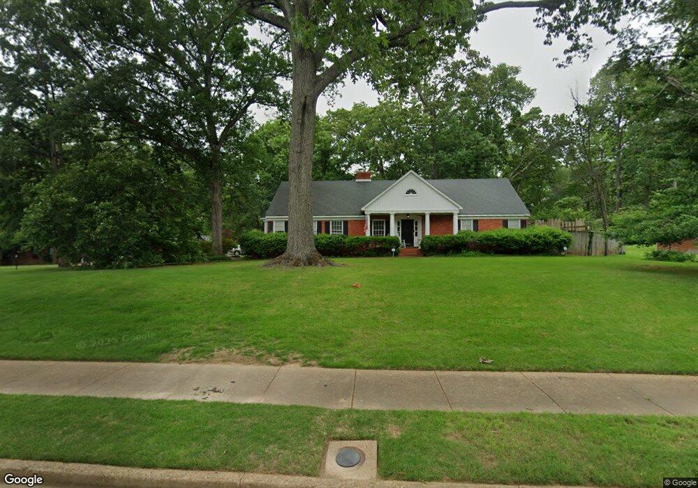
5364 S Hayne Cir Memphis, TN 38119
Colonial Acres NeighborhoodEstimated Value: $394,333 - $469,000
4
Beds
2
Baths
4,038
Sq Ft
$106/Sq Ft
Est. Value
About This Home
This home is located at 5364 S Hayne Cir, Memphis, TN 38119 and is currently estimated at $426,083, approximately $105 per square foot. 5364 S Hayne Cir is a home located in Shelby County with nearby schools including Sea Isle Elementary School, Colonial Middle, and Overton High.
Ownership History
Date
Name
Owned For
Owner Type
Purchase Details
Closed on
Jul 25, 2000
Sold by
Mccune James Henry and Deupree Jane E
Bought by
King Perry D and King Patti Ellis
Current Estimated Value
Home Financials for this Owner
Home Financials are based on the most recent Mortgage that was taken out on this home.
Original Mortgage
$172,000
Outstanding Balance
$61,925
Interest Rate
8.12%
Estimated Equity
$364,158
Create a Home Valuation Report for This Property
The Home Valuation Report is an in-depth analysis detailing your home's value as well as a comparison with similar homes in the area
Home Values in the Area
Average Home Value in this Area
Purchase History
| Date | Buyer | Sale Price | Title Company |
|---|---|---|---|
| King Perry D | $232,000 | Security Title Company Inc |
Source: Public Records
Mortgage History
| Date | Status | Borrower | Loan Amount |
|---|---|---|---|
| Open | King Perry D | $172,000 |
Source: Public Records
Tax History Compared to Growth
Tax History
| Year | Tax Paid | Tax Assessment Tax Assessment Total Assessment is a certain percentage of the fair market value that is determined by local assessors to be the total taxable value of land and additions on the property. | Land | Improvement |
|---|---|---|---|---|
| 2025 | $2,833 | $98,250 | $17,700 | $80,550 |
| 2024 | $2,833 | $83,575 | $12,675 | $70,900 |
| 2023 | $5,091 | $83,575 | $12,675 | $70,900 |
| 2022 | $5,091 | $83,575 | $12,675 | $70,900 |
| 2021 | $5,151 | $83,575 | $12,675 | $70,900 |
| 2020 | $4,476 | $61,775 | $12,675 | $49,100 |
| 2019 | $4,476 | $61,775 | $12,675 | $49,100 |
| 2018 | $4,476 | $61,775 | $12,675 | $49,100 |
| 2017 | $2,539 | $61,775 | $12,675 | $49,100 |
| 2016 | $2,485 | $56,875 | $0 | $0 |
| 2014 | $2,485 | $56,875 | $0 | $0 |
Source: Public Records
Map
Nearby Homes
- 5367 Shady Breeze Cove
- 5383 Quince Rd
- 1446 Wheaton St
- 1433 W Crestwood Dr
- 1571 Sterling Dr
- 1370 Vera Cruz St
- 1261 Wesleyan Place
- 1515 W Crestwood Dr
- 5546 Glenwild Ave
- 5540 Quince Rd
- 5478 N Rolling Oaks Dr
- 1279 W Crestwood Dr
- 1340 S White Station Rd
- 5287 Seneca Ave
- 1647 Dorset Dr
- 1220 E Irvin Dr
- 1650 Arcadia St
- 1190 Estate Dr
- 1676 Lyford Cove
- 5255 Seneca Ave
- 5372 S Hayne Cir
- 5363 N Hayne Cir
- 5333 W Hayne Cir
- 5363 S Hayne Cir
- 5373 N Hayne Cir
- 5373 S Hayne Cir
- 5343 W Hayne Cir
- 5336 W Hayne Cir
- 5353 S Hayne Cir
- 1431 Hayne Rd
- 1407 Hayne Rd
- 1471 Quince Cove
- 5383 S Hayne Cir
- 5346 W Hayne Cir
- 1420 Estate Dr
- 1470 Quince Cove
- 5366 N Hayne Cir
- 1428 Estate Dr
- 1412 Estate Dr
- 5376 N Hayne Cir