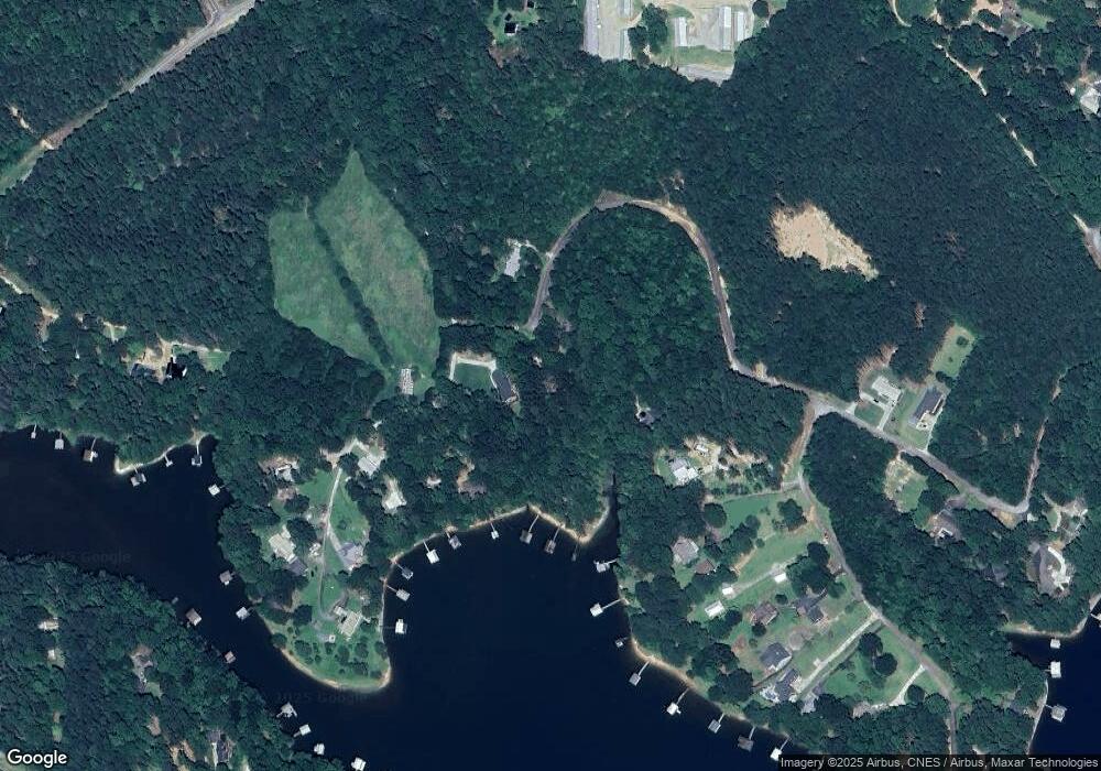
537 Shawnee Trail Toccoa, GA 30577
Estimated Value: $217,000 - $355,000
3
Beds
2
Baths
1,461
Sq Ft
$196/Sq Ft
Est. Value
About This Home
This home is located at 537 Shawnee Trail, Toccoa, GA 30577 and is currently estimated at $285,857, approximately $195 per square foot. 537 Shawnee Trail is a home with nearby schools including Stephens County High School.
Ownership History
Date
Name
Owned For
Owner Type
Purchase Details
Closed on
Dec 7, 2020
Sold by
File Edward D
Bought by
North Albin Guyol and North Christina M
Current Estimated Value
Home Financials for this Owner
Home Financials are based on the most recent Mortgage that was taken out on this home.
Original Mortgage
$90,000
Outstanding Balance
$62,182
Interest Rate
2.7%
Mortgage Type
New Conventional
Estimated Equity
$223,675
Create a Home Valuation Report for This Property
The Home Valuation Report is an in-depth analysis detailing your home's value as well as a comparison with similar homes in the area
Home Values in the Area
Average Home Value in this Area
Purchase History
| Date | Buyer | Sale Price | Title Company |
|---|---|---|---|
| North Albin Guyol | $100,000 | -- |
Source: Public Records
Mortgage History
| Date | Status | Borrower | Loan Amount |
|---|---|---|---|
| Open | North Albin Guyol | $90,000 |
Source: Public Records
Tax History Compared to Growth
Tax History
| Year | Tax Paid | Tax Assessment Tax Assessment Total Assessment is a certain percentage of the fair market value that is determined by local assessors to be the total taxable value of land and additions on the property. | Land | Improvement |
|---|---|---|---|---|
| 2025 | $2,178 | $79,352 | $11,638 | $67,714 |
| 2024 | $1,626 | $53,385 | $11,638 | $41,747 |
| 2023 | $1,493 | $50,136 | $11,638 | $38,498 |
| 2022 | $1,420 | $47,698 | $11,638 | $36,060 |
| 2021 | $1,251 | $44,630 | $11,638 | $32,992 |
| 2020 | $1,464 | $46,352 | $12,540 | $33,812 |
| 2019 | $1,470 | $46,352 | $12,540 | $33,812 |
| 2018 | $1,461 | $46,072 | $12,540 | $33,532 |
| 2017 | $1,484 | $46,072 | $12,540 | $33,532 |
| 2016 | $1,461 | $46,072 | $12,540 | $33,532 |
| 2015 | $1,563 | $47,060 | $12,540 | $34,520 |
| 2014 | $1,589 | $47,060 | $12,540 | $34,520 |
| 2013 | -- | $47,060 | $12,540 | $34,520 |
Source: Public Records
Map
Nearby Homes
- 88 Currahee Place
- 245 Currahee Place
- 0 Cheyenne Trail Unit 10633853
- 347 River Trail
- 679 Suttles Rd
- 287 Spring Branch Cir
- 49 Currahee Point
- 114 Aaron Dr
- 53 Raven Ct
- 173 Laura Dr
- 455 Chase Landing Rd
- 23 Wren Ct
- 102 Meadowlark Ln
- 120 Ridgemore Cir
- 350 Country Club Dr
- 286 Country Club Dr
- 604 Mckinney Way
- 0 Blue Jay Place Unit 7634142
- 0 Blue Jay Place Unit 10586181
- 130 Shorewood Cir
- 525 Shawnee Trail
- 319 Shawnee Trail
- 506 Shawnee Trail
- 265 Dragonfly Cove
- 255 Dragonfly Cove
- 293 Shawnee Trail
- 327 Dragonfly Cove
- 0 Currahee Place Unit 6 8213264
- 0 Currahee Place
- 0 Dragonfly Cove
- 50 Currahee Place
- 68 Currahee Place
- 336 Dragonfly Cove
- 363 Dragonfly Cove
- 249 Shawnee Trail
- 364 Dragonfly Cove
- 170 GREENOCK Cove Lake
- 170 Greenock Cove
- 381 Dragonfly Cove
- 380 Dragonfly Cove
