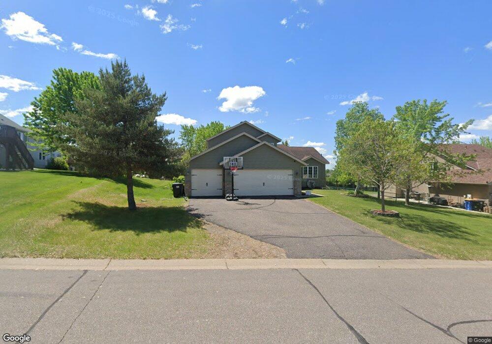
537 Upland Rd NW Saint Michael, MN 55376
Estimated Value: $372,000 - $415,000
4
Beds
2
Baths
1,808
Sq Ft
$215/Sq Ft
Est. Value
About This Home
This home is located at 537 Upland Rd NW, Saint Michael, MN 55376 and is currently estimated at $388,790, approximately $215 per square foot. 537 Upland Rd NW is a home located in Wright County with nearby schools including Albertville Primary School, Fieldstone Elementary School, and St. Michael-Albertville Middle West.
Ownership History
Date
Name
Owned For
Owner Type
Purchase Details
Closed on
Aug 9, 2004
Sold by
Marcy Steve B and Marcy Lori A
Bought by
Johnson Mackenzie D and Wickre Michael G
Current Estimated Value
Purchase Details
Closed on
Jul 16, 2004
Sold by
Marcy Steve B and Marcy Lori A
Bought by
Johnson Mackenzie D and Wickre Michael G
Purchase Details
Closed on
Mar 1, 1999
Sold by
Christian Builders Inc
Bought by
Marcy Steven B and Marcy Jennifer M
Purchase Details
Closed on
Dec 31, 1998
Sold by
Crow-95 Properties Inc
Bought by
Christian Builders Inc
Create a Home Valuation Report for This Property
The Home Valuation Report is an in-depth analysis detailing your home's value as well as a comparison with similar homes in the area
Home Values in the Area
Average Home Value in this Area
Purchase History
| Date | Buyer | Sale Price | Title Company |
|---|---|---|---|
| Johnson Mackenzie D | $240,000 | -- | |
| Johnson Mackenzie D | $240,000 | -- | |
| Marcy Steven B | $140,390 | -- | |
| Christian Builders Inc | $29,000 | -- |
Source: Public Records
Tax History Compared to Growth
Tax History
| Year | Tax Paid | Tax Assessment Tax Assessment Total Assessment is a certain percentage of the fair market value that is determined by local assessors to be the total taxable value of land and additions on the property. | Land | Improvement |
|---|---|---|---|---|
| 2025 | $3,756 | $352,300 | $107,000 | $245,300 |
| 2024 | $3,646 | $340,800 | $102,000 | $238,800 |
| 2023 | $3,750 | $349,100 | $105,900 | $243,200 |
| 2022 | $3,642 | $333,900 | $98,000 | $235,900 |
| 2021 | $3,552 | $280,300 | $70,000 | $210,300 |
| 2020 | $3,480 | $266,000 | $65,000 | $201,000 |
| 2019 | $3,324 | $255,300 | $0 | $0 |
| 2018 | $3,068 | $226,400 | $0 | $0 |
| 2017 | $2,866 | $214,500 | $0 | $0 |
| 2016 | $2,744 | $0 | $0 | $0 |
| 2015 | $2,710 | $0 | $0 | $0 |
| 2014 | -- | $0 | $0 | $0 |
Source: Public Records
Map
Nearby Homes
- 305 Maple Knoll Way NW
- 409 5th St NW
- 417 Birch Ave NW
- 10209 41st Place NE
- 520 Heights Rd NW
- 10140 42nd St NE
- 413 3rd St NW
- 4220 Kady Ave NE
- 10101 41st Place NE
- 300 Heights Rd NW
- 12 3rd St NW
- 9935 41st St NE
- 325 Central Ave W
- 11876 38th Cir NE
- 11911 38th Cir NE
- 4156 Jansen Ave NE
- 504 1st St NW
- 4949 Kama Ln NE
- 11023 Frankfort Pkwy NE
- 428 Main St N
- 541 Upland Rd NW
- 541 541 Upland-Road-nw
- 533 Upland Rd NW
- 516 Upland Rd NW
- N/A Marlow Ave
- 512 Upland Rd NW
- 546 Upland Rd NW
- 520 Upland Rd NW
- 542 Upland Rd NW
- 545 Upland Rd NW
- 545 545 Upland-Road-nw
- 550 Upland Rd NW
- 538 Upland Rd NW
- 524 Upland Rd NW
- 534 Upland Rd NW
- 554 Upland Rd NW
- 521 Upland Rd NW
- 530 Upland Rd NW
- 517 Upland Rd NW
- 513 Dogwood Ave NW