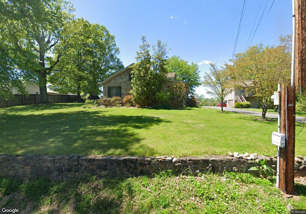
537 Upper Broad St Unit 539 Newport, TN 37821
Estimated Value: $124,000 - $363,000
--
Bed
1
Bath
528
Sq Ft
$486/Sq Ft
Est. Value
About This Home
This home is located at 537 Upper Broad St Unit 539, Newport, TN 37821 and is currently estimated at $256,535, approximately $485 per square foot. 537 Upper Broad St Unit 539 is a home located in Cocke County with nearby schools including Newport Grammar School, Calvary Baptist Tabernacle School, and Grace Christian School.
Ownership History
Date
Name
Owned For
Owner Type
Purchase Details
Closed on
Feb 28, 2022
Sold by
Kay Crowder Angela
Bought by
Crowder Thomas Daniel
Current Estimated Value
Purchase Details
Closed on
Sep 26, 2014
Sold by
Mjs Land Sales Llc
Bought by
Crowder Tommy
Purchase Details
Closed on
Apr 16, 2007
Sold by
Grooms Shannon Bush
Bought by
Crowder Thomas D
Purchase Details
Closed on
Jun 13, 1996
Bought by
Grooms Shannon B and Grooms Kathy
Purchase Details
Closed on
Oct 24, 1994
Bought by
Glenn Steve & %Phh Us Mortg Co
Purchase Details
Closed on
Jul 24, 1986
Create a Home Valuation Report for This Property
The Home Valuation Report is an in-depth analysis detailing your home's value as well as a comparison with similar homes in the area
Home Values in the Area
Average Home Value in this Area
Purchase History
| Date | Buyer | Sale Price | Title Company |
|---|---|---|---|
| Crowder Thomas Daniel | -- | Mcsween Mcsween & Greene Pllc | |
| Crowder Tommy | $8,500 | -- | |
| Crowder Thomas D | $179,000 | -- | |
| Grooms Shannon B | $110,000 | -- | |
| Glenn Steve & %Phh Us Mortg Co | $115,000 | -- | |
| -- | $24,000 | -- |
Source: Public Records
Tax History Compared to Growth
Tax History
| Year | Tax Paid | Tax Assessment Tax Assessment Total Assessment is a certain percentage of the fair market value that is determined by local assessors to be the total taxable value of land and additions on the property. | Land | Improvement |
|---|---|---|---|---|
| 2024 | $2,253 | $45,325 | $5,625 | $39,700 |
| 2023 | $2,253 | $45,325 | $5,625 | $39,700 |
| 2022 | $2,256 | $45,325 | $5,625 | $39,700 |
| 2021 | $2,256 | $45,325 | $5,625 | $39,700 |
| 2020 | $2,256 | $45,325 | $5,625 | $39,700 |
| 2019 | $2,111 | $38,600 | $5,625 | $32,975 |
| 2018 | $2,111 | $38,600 | $5,625 | $32,975 |
| 2017 | $2,234 | $38,600 | $5,625 | $32,975 |
| 2016 | $2,114 | $38,600 | $5,625 | $32,975 |
| 2015 | $1,652 | $38,600 | $5,625 | $32,975 |
| 2014 | $1,652 | $38,600 | $5,625 | $32,975 |
| 2013 | $1,652 | $39,850 | $6,075 | $33,775 |
Source: Public Records
Map
Nearby Homes
- 139 Easy St
- 231 Southside Cir
- 532 Woodlawn Ave
- 302 Buckingham Dr
- 525 Freeman Ave
- 827 Seabrook St
- 245 Shawnee Rd
- 338 Jefferson Ave
- 356 Woodlawn Ave
- 346 Woodlawn Ave
- 228 Melton Rd
- 241 & 245 White Oak Ave
- Par 152 Sulpher Springs
- 581 Summit Ridge Dr
- 209 Pocahontas St
- 560 Rack Ln
- 500 Buckingham Dr
- 405 7th St
- 208 Mims Ave
- 650 8th St
- 538 Upper Broad St
- 532 Upper Broad St
- 545 Upper Broad St
- 531 Upper Broad St
- 526 Upper Broad St
- 536 Centerview St
- 551 Upper Broad St
- 520 Upper Broad St
- 533 Wilson St
- 554 Upper Broad St
- 550 Centerview St
- 537 Wilson St
- 533 Centerview St
- 529 Wilson St
- 513 Upper Broad St
- 516 Upper Broad St
- 539 Centerview St
- 543 Wilson St
- 523 Wilson St
- 547 Centerview St