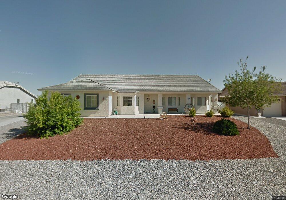
5370 Fieldstone Dr Pahrump, NV 89061
Estimated Value: $426,785 - $477,000
--
Bed
--
Bath
2,450
Sq Ft
$189/Sq Ft
Est. Value
About This Home
This home is located at 5370 Fieldstone Dr, Pahrump, NV 89061 and is currently estimated at $463,196, approximately $189 per square foot. 5370 Fieldstone Dr is a home located in Nye County with nearby schools including Hafen Elementary School, Rosemary Clarke Middle School, and Pahrump Valley High School.
Ownership History
Date
Name
Owned For
Owner Type
Purchase Details
Closed on
Feb 3, 2021
Sold by
Foss Connie Kae and Foss Richard Leon
Bought by
Foss Connie Kae and Foss Richard Leon
Current Estimated Value
Home Financials for this Owner
Home Financials are based on the most recent Mortgage that was taken out on this home.
Original Mortgage
$300,000
Interest Rate
2.7%
Mortgage Type
New Conventional
Create a Home Valuation Report for This Property
The Home Valuation Report is an in-depth analysis detailing your home's value as well as a comparison with similar homes in the area
Home Values in the Area
Average Home Value in this Area
Purchase History
| Date | Buyer | Sale Price | Title Company |
|---|---|---|---|
| Foss Connie Kae | -- | First American Title |
Source: Public Records
Mortgage History
| Date | Status | Borrower | Loan Amount |
|---|---|---|---|
| Closed | Foss Connie Kae | $300,000 |
Source: Public Records
Tax History Compared to Growth
Tax History
| Year | Tax Paid | Tax Assessment Tax Assessment Total Assessment is a certain percentage of the fair market value that is determined by local assessors to be the total taxable value of land and additions on the property. | Land | Improvement |
|---|---|---|---|---|
| 2025 | $2,140 | $107,402 | $11,572 | $95,830 |
| 2024 | $2,140 | $106,736 | $8,875 | $97,861 |
| 2023 | $2,140 | $98,915 | $8,875 | $90,040 |
| 2022 | $2,016 | $88,113 | $6,339 | $81,774 |
| 2021 | $1,961 | $81,522 | $5,071 | $76,451 |
| 2020 | $1,905 | $81,495 | $5,071 | $76,424 |
| 2019 | $1,849 | $101,099 | $5,071 | $96,028 |
| 2018 | $1,796 | $96,905 | $4,057 | $92,848 |
| 2017 | $1,745 | $77,988 | $4,057 | $73,931 |
| 2016 | $1,702 | $55,512 | $4,057 | $51,455 |
| 2015 | $1,699 | $51,468 | $4,057 | $47,411 |
| 2014 | $1,650 | $55,536 | $4,057 | $51,479 |
Source: Public Records
Map
Nearby Homes
- 6380 Waterford St
- 5400 Grain Mill Rd
- 5450 Grain Mill Rd
- 5380 E Chasemoor St
- 5210 E Chasemoor St
- 6670 White Eagle Dr
- 5601 Mary Lou St
- 5610 Bridger St
- 5060 Wheatland Dr
- 5170 Fairmont St
- 6671 White Eagle Dr
- 5600 Doubletree Rd
- 6751 Stubblefield Dr
- 6751 Sandpebble St
- 5680 Doubletree Rd
- 6790 Stubblefield Dr
- 5621 Saddletree Rd
- 6430 Wagon Wheel Ct
- 5121 Andover Ct
- 6650 Southgate St
- 5350 Fieldstone Dr
- 5380 Fieldstone Dr
- 5371 Deerfield Ct
- 5381 Deerfield Ct
- 5381 Fieldstone Dr
- 5410 Fieldstone Dr
- 5330 Fieldstone Dr
- 5371 Fieldstone Dr
- 5401 Fieldstone Dr
- 5351 Fieldstone Dr
- 5320 Fieldstone Dr
- 5331 Fieldstone Dr
- 5431 Deerfield Ct
- 5431 Deerfield Ct
- 5370 Deerfield Ct
- 5421 Fieldstone Dr
- 5370 Bridger St
- 5321 Deerfield Ct
- 5321 Deerfield Ct
- 5350 Bridger St