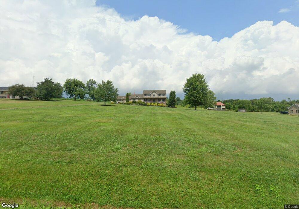
5373 Force Rd Shreve, OH 44676
Estimated Value: $306,000 - $508,634
3
Beds
3
Baths
2,540
Sq Ft
$154/Sq Ft
Est. Value
About This Home
This home is located at 5373 Force Rd, Shreve, OH 44676 and is currently estimated at $392,409, approximately $154 per square foot. 5373 Force Rd is a home located in Wayne County with nearby schools including Triway High School and Sunny Slope C/O Ervin Mast.
Ownership History
Date
Name
Owned For
Owner Type
Purchase Details
Closed on
Jan 10, 2005
Sold by
Ervin Larry S and Ervin Amber D
Bought by
Matter Charles E and Matter Paulette R
Current Estimated Value
Purchase Details
Closed on
May 27, 2003
Sold by
Countrytyme Lodi Ltd
Bought by
Matter Charles E and Matter Paulette R
Purchase Details
Closed on
Apr 2, 2003
Sold by
Galloway Land Co
Bought by
Countrytyme Lodi Ltd
Create a Home Valuation Report for This Property
The Home Valuation Report is an in-depth analysis detailing your home's value as well as a comparison with similar homes in the area
Purchase History
| Date | Buyer | Sale Price | Title Company |
|---|---|---|---|
| Matter Charles E | $23,000 | -- | |
| Matter Charles E | $38,900 | -- | |
| Countrytyme Lodi Ltd | -- | -- | |
| Galloway Land Co | -- | -- |
Source: Public Records
Tax History
| Year | Tax Paid | Tax Assessment Tax Assessment Total Assessment is a certain percentage of the fair market value that is determined by local assessors to be the total taxable value of land and additions on the property. | Land | Improvement |
|---|---|---|---|---|
| 2024 | $5,002 | $142,230 | $42,290 | $99,940 |
| 2023 | $5,050 | $142,230 | $42,290 | $99,940 |
| 2022 | $4,080 | $105,360 | $31,330 | $74,030 |
| 2021 | $4,088 | $105,360 | $31,330 | $74,030 |
| 2020 | $3,699 | $105,360 | $31,330 | $74,030 |
| 2019 | $3,175 | $89,130 | $21,820 | $67,310 |
| 2018 | $3,192 | $89,130 | $21,820 | $67,310 |
| 2017 | $3,093 | $89,130 | $21,820 | $67,310 |
| 2016 | $3,078 | $85,920 | $21,820 | $64,100 |
| 2015 | $3,006 | $85,920 | $21,820 | $64,100 |
| 2014 | $3,009 | $85,920 | $21,820 | $64,100 |
| 2013 | $2,984 | $81,850 | $21,540 | $60,310 |
Source: Public Records
Map
Nearby Homes
- 283 E Wood St
- 292 E Mcconkey St
- 6810 S Elyria Rd
- 5001 S Jefferson Rd
- 7241 S Funk Rd
- 110 S Elyria Rd
- 4220 S Elyria Rd
- 8070 County Road 318
- 13982 Ohio 226
- 2717 Timothy Place
- 9718 James Rd
- 8383 Hoy Rd
- 444 S Smyser Rd
- 2535 Millersburg Rd
- 14602 Township Road 469
- 4348 Buss Rd
- 5 E Melrose Unit 5
- 140 Ohio St
- 3065 Dover Rd
- 3419 Fredericksburg Rd
Your Personal Tour Guide
Ask me questions while you tour the home.