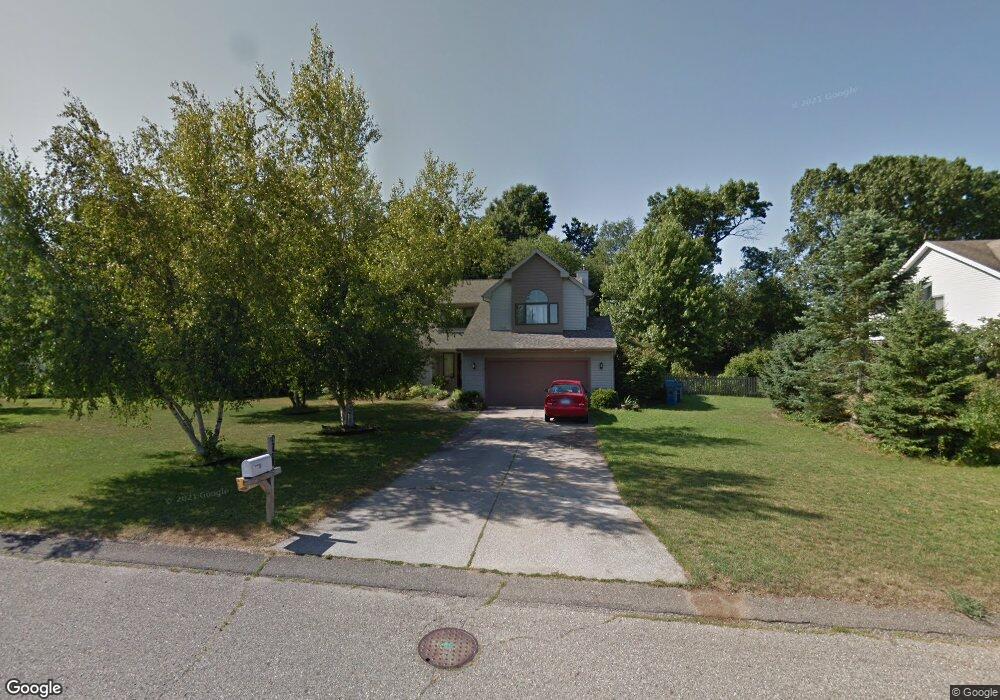
5379 Heathrow Ave Kalamazoo, MI 49009
Estimated Value: $429,000 - $467,000
4
Beds
4
Baths
4,085
Sq Ft
$111/Sq Ft
Est. Value
About This Home
This home is located at 5379 Heathrow Ave, Kalamazoo, MI 49009 and is currently estimated at $451,452, approximately $110 per square foot. 5379 Heathrow Ave is a home located in Kalamazoo County with nearby schools including 12th Street Elementary School, Portage West Middle School, and Portage Central High School.
Ownership History
Date
Name
Owned For
Owner Type
Purchase Details
Closed on
Feb 23, 2017
Sold by
Mckean Joseph W and Mckean Margaret A
Bought by
Mckean Joseph W and Mckean Margaret A
Current Estimated Value
Purchase Details
Closed on
Sep 30, 2004
Sold by
Vita A Kore Trust
Bought by
Mckean Joseph W and Mckean Margaret A
Home Financials for this Owner
Home Financials are based on the most recent Mortgage that was taken out on this home.
Original Mortgage
$128,000
Interest Rate
5.93%
Mortgage Type
Purchase Money Mortgage
Create a Home Valuation Report for This Property
The Home Valuation Report is an in-depth analysis detailing your home's value as well as a comparison with similar homes in the area
Home Values in the Area
Average Home Value in this Area
Purchase History
| Date | Buyer | Sale Price | Title Company |
|---|---|---|---|
| Mckean Joseph W | -- | Attorney | |
| Mckean Joseph W | $235,000 | Metropolitan |
Source: Public Records
Mortgage History
| Date | Status | Borrower | Loan Amount |
|---|---|---|---|
| Closed | Mckean Joseph W | $128,000 |
Source: Public Records
Tax History Compared to Growth
Tax History
| Year | Tax Paid | Tax Assessment Tax Assessment Total Assessment is a certain percentage of the fair market value that is determined by local assessors to be the total taxable value of land and additions on the property. | Land | Improvement |
|---|---|---|---|---|
| 2025 | $5,098 | $200,400 | $0 | $0 |
| 2024 | $1,485 | $194,600 | $0 | $0 |
| 2023 | $1,416 | $175,600 | $0 | $0 |
| 2022 | $4,630 | $156,600 | $0 | $0 |
| 2021 | $4,499 | $161,400 | $0 | $0 |
| 2020 | $4,392 | $146,300 | $0 | $0 |
| 2019 | $4,020 | $134,300 | $0 | $0 |
| 2018 | $2,479 | $121,000 | $0 | $0 |
| 2017 | -- | $122,300 | $0 | $0 |
| 2016 | -- | $117,900 | $0 | $0 |
| 2015 | -- | $111,800 | $14,000 | $97,800 |
| 2014 | -- | $111,800 | $0 | $0 |
Source: Public Records
Map
Nearby Homes
- 7296 Annandale Dr
- 7175 Hopkinton Dr
- 7566 Cobblewood Dr
- 5464 Cypress Bay Dr
- 7337 Roslindale Trail
- 5804 Boxthorn Trail
- 5780 Braeburn Ct
- 5661 Attleberry Ave
- 6971 Annandale Dr
- 5660 Saddle Club Dr
- 5928 Boxthorn Trail
- 7895 Deerpath Rd
- 5825 Saddle Club Dr
- 6787 Tiger Lily Dr Unit 55
- 7449 S 10th St
- 7873 Shepherds Glen Ct
- 6782 Southwind St Unit 68
- 5850 Dunwoody Ct
- 5978 Boxthorn Trail
- 4788 Norfolk Cir
- 5401 Heathrow Ave
- 5357 Heathrow Ave
- 5366 Burning Tree Rd
- 5335 Heathrow Ave
- 5423 Heathrow Ave
- 5360 Heathrow Ave
- 5396 Heathrow Ave
- 5348 Burning Tree Rd
- 5394 Burning Tree Rd
- 17 Gatwick Ct
- 15 Gatwick Ct
- 5420 Heathrow Ave
- 5336 Heathrow Ave
- 5377 Burning Tree Rd
- 5445 Heathrow Ave
- 5311 Heathrow Ave
- 7409 Farmington Ave
- 5326 Burning Tree Rd
- 5353 Burning Tree Rd
- 5362 Gatwick Ct