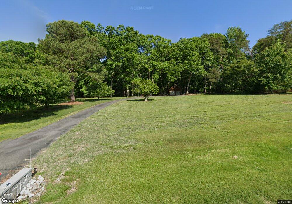
538 Fords Rd Manakin Sabot, VA 23103
Manakin-Sabot NeighborhoodEstimated Value: $553,000 - $587,000
3
Beds
3
Baths
2,068
Sq Ft
$274/Sq Ft
Est. Value
About This Home
This home is located at 538 Fords Rd, Manakin Sabot, VA 23103 and is currently estimated at $567,613, approximately $274 per square foot. 538 Fords Rd is a home located in Goochland County with nearby schools including Goochland Middle School and Goochland High School.
Ownership History
Date
Name
Owned For
Owner Type
Purchase Details
Closed on
Dec 17, 2007
Sold by
Greene Ronald G
Bought by
Lawton Dale M
Current Estimated Value
Home Financials for this Owner
Home Financials are based on the most recent Mortgage that was taken out on this home.
Original Mortgage
$75,000
Outstanding Balance
$46,780
Interest Rate
6.02%
Mortgage Type
New Conventional
Estimated Equity
$520,833
Create a Home Valuation Report for This Property
The Home Valuation Report is an in-depth analysis detailing your home's value as well as a comparison with similar homes in the area
Home Values in the Area
Average Home Value in this Area
Purchase History
| Date | Buyer | Sale Price | Title Company |
|---|---|---|---|
| Lawton Dale M | $385,000 | None Available |
Source: Public Records
Mortgage History
| Date | Status | Borrower | Loan Amount |
|---|---|---|---|
| Open | Lawton Dale M | $75,000 |
Source: Public Records
Tax History Compared to Growth
Tax History
| Year | Tax Paid | Tax Assessment Tax Assessment Total Assessment is a certain percentage of the fair market value that is determined by local assessors to be the total taxable value of land and additions on the property. | Land | Improvement |
|---|---|---|---|---|
| 2025 | $2,877 | $542,900 | $203,000 | $339,900 |
| 2024 | $2,624 | $495,000 | $190,000 | $305,000 |
| 2023 | $2,546 | $480,300 | $180,000 | $300,300 |
| 2022 | $2,349 | $443,200 | $165,000 | $278,200 |
| 2021 | $2,032 | $383,400 | $150,000 | $233,400 |
| 2020 | $1,875 | $363,600 | $137,000 | $226,600 |
| 2019 | $1,875 | $353,800 | $132,000 | $221,800 |
| 2018 | $1,790 | $314,400 | $130,000 | $184,400 |
| 2017 | $1,739 | $330,700 | $125,000 | $205,700 |
| 2016 | $863 | $325,700 | $120,000 | $205,700 |
| 2015 | $1,671 | $315,300 | $115,000 | $200,300 |
| 2014 | -- | $306,200 | $115,000 | $191,200 |
Source: Public Records
Map
Nearby Homes
- 532 Fords Rd
- 559 Rockford Rd
- 500 Broad Street Rd
- 620 Three Chopt Rd
- 570 Three Chopt Rd
- 587 Nelwood Place
- 2110 Manakin Rd
- 2019 Sycamore Creek Dr
- Berkeley Plan at Tuckahoe Bridge
- 2240 Osborne Hill Dr
- 2233 Osborne Hill Dr
- 1403 Grand Dr
- 0 Grannys Ln
- 00 Rockville Rd
- 18122 Dogwood Trail Way
- 11287 Rosemont Dr
- 0 Manakin Rd Unit 2502813
- 1954 Shallow Well Rd
- 0 Pouncey Tract Rd Unit 2508498
- 1744 Saint Matthews Ln
- 524 Fords Rd
- 560 Fords Rd
- 2355 Wheatlands Dr
- 537 Fords Rd
- 518 Fords Rd
- 2347 Wheatlands Dr
- 531 Fords Rd
- 2359 Wheatlands Dr
- 561 Fords Rd
- 2337 Wheatlands Dr
- 527 Fords Rd
- 563 Fed Ln
- 2323 Wheatlands Dr
- 2367 Wheatlands Dr
- 512 Fords Rd
- 570 Fords Rd
- 573 Fords Rd
- 2317 Wheatlands Dr
- 2346 Wheatlands Dr
- 515 Fords Rd
