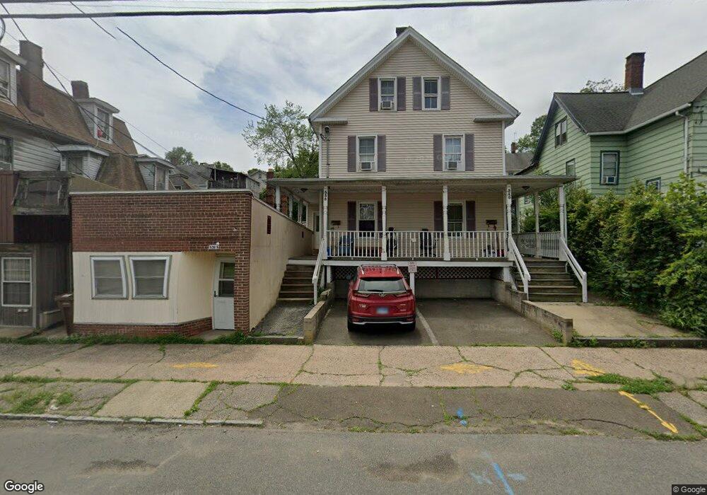
538 Howe Ave Unit 540 Shelton, CT 06484
Estimated Value: $296,266
8
Beds
5
Baths
3,700
Sq Ft
$80/Sq Ft
Est. Value
About This Home
This home is located at 538 Howe Ave Unit 540, Shelton, CT 06484 and is currently estimated at $296,266, approximately $80 per square foot. 538 Howe Ave Unit 540 is a home located in Fairfield County with nearby schools including Perry Hill School, Elizabeth Shelton Elementary School, and Shelton Intermediate School.
Ownership History
Date
Name
Owned For
Owner Type
Purchase Details
Closed on
Jul 29, 1999
Sold by
Puccino Carole and Witek Lorraine
Bought by
Bogusz Stanislaw
Current Estimated Value
Home Financials for this Owner
Home Financials are based on the most recent Mortgage that was taken out on this home.
Original Mortgage
$100,716
Outstanding Balance
$28,852
Interest Rate
7.61%
Mortgage Type
Commercial
Estimated Equity
$267,414
Create a Home Valuation Report for This Property
The Home Valuation Report is an in-depth analysis detailing your home's value as well as a comparison with similar homes in the area
Home Values in the Area
Average Home Value in this Area
Purchase History
| Date | Buyer | Sale Price | Title Company |
|---|---|---|---|
| Bogusz Stanislaw | $105,000 | -- | |
| Bogusz Stanislaw | $105,000 | -- |
Source: Public Records
Mortgage History
| Date | Status | Borrower | Loan Amount |
|---|---|---|---|
| Open | Bogusz Stanislaw | $100,716 | |
| Closed | Bogusz Stanislaw | $100,716 |
Source: Public Records
Tax History Compared to Growth
Tax History
| Year | Tax Paid | Tax Assessment Tax Assessment Total Assessment is a certain percentage of the fair market value that is determined by local assessors to be the total taxable value of land and additions on the property. | Land | Improvement |
|---|---|---|---|---|
| 2025 | $4,611 | $245,000 | $71,750 | $173,250 |
| 2024 | $4,699 | $245,000 | $71,750 | $173,250 |
| 2023 | $4,280 | $245,000 | $71,750 | $173,250 |
| 2022 | $4,280 | $245,000 | $71,750 | $173,250 |
| 2021 | $3,641 | $165,270 | $54,530 | $110,740 |
| 2020 | $3,705 | $165,270 | $54,530 | $110,740 |
| 2019 | $3,705 | $165,270 | $54,530 | $110,740 |
| 2017 | $3,557 | $160,150 | $54,530 | $105,620 |
| 2015 | $3,926 | $175,980 | $43,050 | $132,930 |
| 2014 | $3,926 | $175,980 | $43,050 | $132,930 |
Source: Public Records
Map
Nearby Homes
- 145 Canal St Unit 10
- 145 Canal St Unit 118
- 145 Canal St Unit 203
- 145 Canal St Unit 312
- 255 Canal St E
- 18 Brook St
- 125 Oak Ave
- 105 Camptown St
- 33 Oak St
- 10 Perry Hill Rd Unit 12
- 32 Hill St
- 63 Minerva St
- 2 Congress Ave
- 10 Beardsley St
- 98 Water St
- 760 Howe Ave Unit 762
- 93 Shelton Ave
- 110 Hawthorne Ave Unit 114
- 29 8th St
- 137 Long Hill Ave
- 542 Howe Ave Unit 544
- 542 Howe Ave Unit 1
- 529 Howe Ave Unit 2-B
- 515 Howe Ave
- 539 Howe Ave Unit 2-B
- 539 Howe Ave Unit 2-A
- 539 Howe Ave Unit 3-A
- 539 Howe Ave Unit 3
- 539 Howe Ave
- 27 Perry Ave
- 29 Perry Ave
- 549 Howe Ave Unit A32
- 549 Howe Ave
- 549 Howe Ave Unit 309
- 549 Howe Ave Unit 300
- 549 Howe Ave Unit A & B
- 549 Howe Ave Unit A20
- 549 Howe Ave Unit A-21
- 549 Howe Ave Unit 402
- 549 Howe Ave Unit 302-303