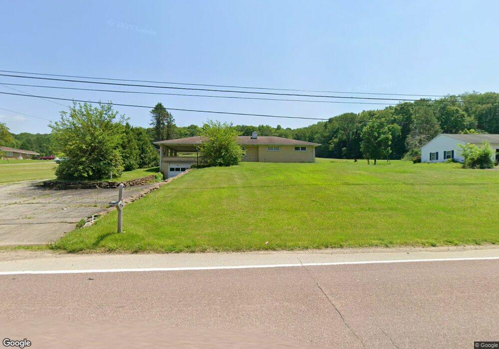
538 State Route 217 Latrobe, PA 15650
Estimated Value: $83,747 - $298,000
--
Bed
--
Bath
--
Sq Ft
0.41
Acres
About This Home
This home is located at 538 State Route 217, Latrobe, PA 15650 and is currently estimated at $201,687. 538 State Route 217 is a home located in Westmoreland County with nearby schools including Grandview Elementary School, Derry Area Middle School, and Derry Area Senior High School.
Ownership History
Date
Name
Owned For
Owner Type
Purchase Details
Closed on
Mar 1, 2011
Sold by
Kebler Denis L
Bought by
Kebler Denis L
Current Estimated Value
Create a Home Valuation Report for This Property
The Home Valuation Report is an in-depth analysis detailing your home's value as well as a comparison with similar homes in the area
Home Values in the Area
Average Home Value in this Area
Purchase History
| Date | Buyer | Sale Price | Title Company |
|---|---|---|---|
| Kebler Denis L | -- | None Available |
Source: Public Records
Tax History Compared to Growth
Tax History
| Year | Tax Paid | Tax Assessment Tax Assessment Total Assessment is a certain percentage of the fair market value that is determined by local assessors to be the total taxable value of land and additions on the property. | Land | Improvement |
|---|---|---|---|---|
| 2025 | $2,781 | $22,380 | $1,950 | $20,430 |
| 2024 | $2,781 | $22,380 | $1,950 | $20,430 |
| 2023 | $2,625 | $22,380 | $1,950 | $20,430 |
| 2022 | $2,603 | $22,380 | $1,950 | $20,430 |
| 2021 | $2,603 | $22,380 | $1,950 | $20,430 |
| 2020 | $2,558 | $22,380 | $1,950 | $20,430 |
| 2019 | $2,502 | $22,380 | $1,950 | $20,430 |
| 2018 | $2,390 | $22,380 | $1,950 | $20,430 |
| 2017 | $2,327 | $22,380 | $1,950 | $20,430 |
| 2016 | $2,227 | $22,380 | $1,950 | $20,430 |
| 2015 | $2,227 | $22,380 | $1,950 | $20,430 |
| 2014 | $2,227 | $22,380 | $1,950 | $20,430 |
Source: Public Records
Map
Nearby Homes
- 510 Pennsylvania 217
- 147 N Valley St
- 913 W 1st Ave
- 211 10th St
- 1224 High St
- 213 Greenfield Rd
- 498 Sunview Cir
- 515 Sunview Cir
- 104 Clifton St
- 793 Victoria Way
- 604 W 4th Ave
- 520 W 2nd Ave
- 707 Victoria Way
- 715 Victoria Way
- 417 Traction Ave
- 504 W 2nd Ave
- 400 Ridge Ave
- 765 Victoria Way
- 423 W 1st Ave
- 729 Victoria Way
- 534 State Route 217
- 112 Off Rte Dr
- 539 Route 217
- 111 Amber Dr
- 526 State Route 217
- 526 Pennsylvania 217
- 527 State Route 217
- 522 State Route 217
- 132 Diamond Dr
- 564 State Route 217
- 126 Diamond Dr
- 564 Pennsylvania 217
- 516 State Route 217
- 565 State Route 217
- 515 State Route 217
- 140 Diamond Dr
- 570 State Route 217
- 569 State Route 217
- 569 Pennsylvania 217
- 510 State Route 217