538 Winthrop Rd Unit 1 Deep River, CT 06417
Estimated Value: $235,000 - $293,000
2
Beds
1
Bath
681
Sq Ft
$402/Sq Ft
Est. Value
About This Home
This home is located at 538 Winthrop Rd Unit 1, Deep River, CT 06417 and is currently estimated at $273,925, approximately $402 per square foot. 538 Winthrop Rd Unit 1 is a home located in Middlesex County with nearby schools including Valley Regional High School.
Ownership History
Date
Name
Owned For
Owner Type
Purchase Details
Closed on
Sep 29, 2021
Sold by
Middletown 109 Llc
Bought by
Lee James E
Current Estimated Value
Home Financials for this Owner
Home Financials are based on the most recent Mortgage that was taken out on this home.
Original Mortgage
$152,000
Outstanding Balance
$138,610
Interest Rate
2.8%
Mortgage Type
Negative Amortization
Estimated Equity
$135,315
Purchase Details
Closed on
Dec 9, 1994
Sold by
Mcgrath Edward F
Bought by
Adams Scott A
Create a Home Valuation Report for This Property
The Home Valuation Report is an in-depth analysis detailing your home's value as well as a comparison with similar homes in the area
Home Values in the Area
Average Home Value in this Area
Purchase History
| Date | Buyer | Sale Price | Title Company |
|---|---|---|---|
| Lee James E | $195,000 | None Available | |
| Adams Scott A | $85,000 | -- |
Source: Public Records
Mortgage History
| Date | Status | Borrower | Loan Amount |
|---|---|---|---|
| Open | Lee James E | $152,000 | |
| Previous Owner | Adams Scott A | $87,000 | |
| Previous Owner | Adams Scott A | $81,700 | |
| Previous Owner | Adams Scott A | $15,000 |
Source: Public Records
Tax History Compared to Growth
Tax History
| Year | Tax Paid | Tax Assessment Tax Assessment Total Assessment is a certain percentage of the fair market value that is determined by local assessors to be the total taxable value of land and additions on the property. | Land | Improvement |
|---|---|---|---|---|
| 2024 | $4,347 | $138,530 | $52,990 | $85,540 |
| 2023 | $4,139 | $138,530 | $52,990 | $85,540 |
| 2022 | $4,015 | $138,530 | $52,990 | $85,540 |
| 2021 | $4,098 | $138,530 | $52,990 | $85,540 |
| 2020 | $2,704 | $90,160 | $42,420 | $47,740 |
| 2019 | $2,624 | $89,180 | $42,420 | $46,760 |
| 2018 | $2,605 | $88,550 | $42,420 | $46,130 |
| 2017 | $2,561 | $88,550 | $42,420 | $46,130 |
| 2016 | $2,438 | $88,550 | $42,420 | $46,130 |
Source: Public Records
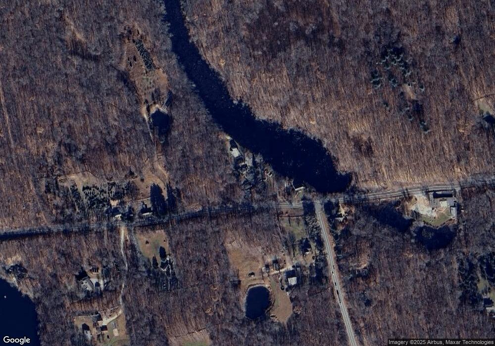
Map
Nearby Homes
- 538 Winthrop Rd
- 538 Winthrop Rd Unit 5
- 0 Glen Grove Rd
- 1 Tower Hill Rd
- 112 Cedar Swamp Rd
- 32 Pinewood Trail
- 200 Westbrook Rd
- 88 Winthrop Rd
- 95 Cedar Swamp Rd
- 95 Shailer Pond Rd
- 13 Cross Rd
- 179 Bushy Hill Rd
- 47 Plains Rd
- 37 Titus Coan Rd
- 8 Route 148
- 41 Bushy Hill Rd
- 15 Colonial Dr
- 86 Bushy Hill Rd
- 0 Kelseytown Bridge Rd
- 755 W Pond Meadow Rd
- 538 Winthrop Rd Unit 3
- 538 Winthrop Rd Unit 7
- 538 Winthrop Rd Unit 9
- 538 Winthrop Rd Unit 11
- 538 Winthrop Rd
- 538 Winthrop Rd Unit 9 & 11
- 536 Winthrop Rd
- 560 Winthrop Rd
- 574 Winthrop Rd
- 537 Winthrop Rd
- 519 Winthrop Rd
- 573 Winthrop Rd
- 19 Stevenstown Rd
- 585 Winthrop Rd
- 497 Winthrop Rd Unit 3
- 497 Winthrop Rd Unit 2
- 497 Winthrop Rd Unit 1
- 575 Winthrop Rd
- 599 Winthrop Rd
- 38 Stevenstown Rd