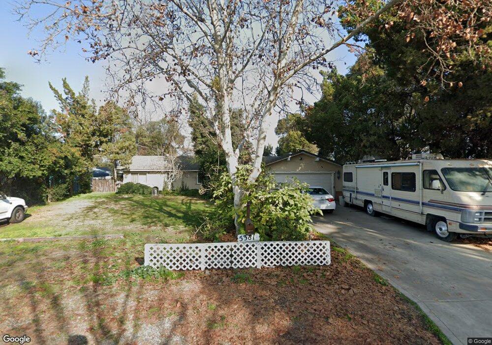
5381 E Lowe Ave Fresno, CA 93727
Sunnyside NeighborhoodEstimated Value: $429,282 - $492,000
3
Beds
2
Baths
2,054
Sq Ft
$223/Sq Ft
Est. Value
About This Home
This home is located at 5381 E Lowe Ave, Fresno, CA 93727 and is currently estimated at $458,761, approximately $223 per square foot. 5381 E Lowe Ave is a home located in Fresno County with nearby schools including Ayer Elementary School, Elizabeth Terronez Middle School, and Sunnyside High School.
Ownership History
Date
Name
Owned For
Owner Type
Purchase Details
Closed on
Aug 28, 2002
Sold by
Draper Earliss R
Bought by
Lamb Joseph M and Lamb Karen L
Current Estimated Value
Home Financials for this Owner
Home Financials are based on the most recent Mortgage that was taken out on this home.
Original Mortgage
$85,000
Outstanding Balance
$35,326
Interest Rate
6.17%
Estimated Equity
$423,435
Create a Home Valuation Report for This Property
The Home Valuation Report is an in-depth analysis detailing your home's value as well as a comparison with similar homes in the area
Home Values in the Area
Average Home Value in this Area
Purchase History
| Date | Buyer | Sale Price | Title Company |
|---|---|---|---|
| Lamb Joseph M | $205,000 | Fidelity National Title Co |
Source: Public Records
Mortgage History
| Date | Status | Borrower | Loan Amount |
|---|---|---|---|
| Open | Lamb Joseph M | $85,000 | |
| Closed | Lamb Joseph M | $90,000 |
Source: Public Records
Tax History
| Year | Tax Paid | Tax Assessment Tax Assessment Total Assessment is a certain percentage of the fair market value that is determined by local assessors to be the total taxable value of land and additions on the property. | Land | Improvement |
|---|---|---|---|---|
| 2025 | $3,683 | $296,885 | $79,646 | $217,239 |
| 2023 | $3,483 | $285,358 | $76,554 | $208,804 |
| 2022 | $3,435 | $279,763 | $75,053 | $204,710 |
| 2021 | $3,339 | $274,279 | $73,582 | $200,697 |
| 2020 | $3,324 | $271,468 | $72,828 | $198,640 |
| 2019 | $3,194 | $266,146 | $71,400 | $194,746 |
| 2018 | $3,123 | $260,928 | $70,000 | $190,928 |
| 2017 | $2,948 | $245,900 | $65,800 | $180,100 |
| 2016 | $2,810 | $237,872 | $63,656 | $174,216 |
| 2015 | $2,766 | $234,300 | $62,700 | $171,600 |
| 2014 | $2,589 | $219,500 | $58,800 | $160,700 |
Source: Public Records
Map
Nearby Homes
- 5454 E Butler Ave
- 5478 E Butler Ave
- 930 S Park Circle Dr
- 5526 E Inyo St
- 907 S Rogers Ln
- 945 S Clovis Ave Unit V
- 5145 E Lane Ave Unit 252
- 5626 E Butler Ave
- 5167 E Balch Ave
- 2194 S Sylmar Ave
- 1691 S Bailey Ave
- 5458 E Tulare St
- 5407 E Tulare St
- 5178 E Woodward Ave
- 345 S Bailey Ave
- 5167 E Dwight Way
- 5481 E Geary St
- 5547 E Atchison St
- 240 S Bailey Ave
- 2163 S Terry Ave
- 5373 E Lowe Ave
- 5389 E Lowe Ave
- 5365 E Lowe Ave
- 1108 S Minnewawa Ave
- 5380 E Lowe Ave
- 5372 E Lowe Ave
- 5388 E Lowe Ave
- 5357 E Lowe Ave
- 5364 E Lowe Ave
- 1162 S Minnewawa Ave
- 5356 E Lowe Ave
- 1172 S Minnewawa Ave
- 5408 E Lane Ave
- 1071 S de Sante Ave
- 1089 S de Sante Ave
- 1053 S de Sante Ave
- 1107 S de Sante Ave
- 5409 E Lane Ave
- 5375 E Liberty Ave
- 1035 S de Sante Ave Unit 68
Your Personal Tour Guide
Ask me questions while you tour the home.