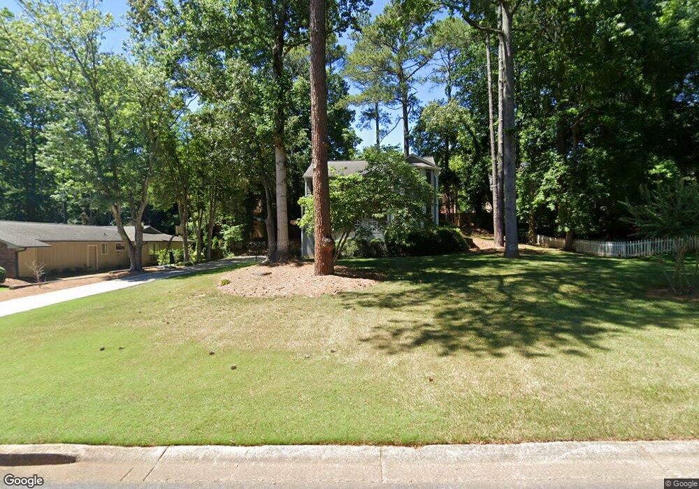
5389 Forest Brook Pkwy Unit 1 Marietta, GA 30068
East Cobb NeighborhoodEstimated Value: $613,359 - $727,000
4
Beds
3
Baths
2,310
Sq Ft
$288/Sq Ft
Est. Value
About This Home
This home is located at 5389 Forest Brook Pkwy Unit 1, Marietta, GA 30068 and is currently estimated at $664,590, approximately $287 per square foot. 5389 Forest Brook Pkwy Unit 1 is a home located in Cobb County with nearby schools including Mount Bethel Elementary School, Dickerson Middle School, and Walton High School.
Ownership History
Date
Name
Owned For
Owner Type
Purchase Details
Closed on
Jul 31, 2006
Sold by
Williams James D and Williams Sarah R
Bought by
Logan Jeffrey M and Logan Deborah A
Current Estimated Value
Home Financials for this Owner
Home Financials are based on the most recent Mortgage that was taken out on this home.
Original Mortgage
$216,400
Outstanding Balance
$128,684
Interest Rate
6.68%
Mortgage Type
New Conventional
Estimated Equity
$535,906
Create a Home Valuation Report for This Property
The Home Valuation Report is an in-depth analysis detailing your home's value as well as a comparison with similar homes in the area
Home Values in the Area
Average Home Value in this Area
Purchase History
| Date | Buyer | Sale Price | Title Company |
|---|---|---|---|
| Logan Jeffrey M | $283,000 | -- |
Source: Public Records
Mortgage History
| Date | Status | Borrower | Loan Amount |
|---|---|---|---|
| Open | Logan Jeffrey M | $216,400 |
Source: Public Records
Tax History Compared to Growth
Tax History
| Year | Tax Paid | Tax Assessment Tax Assessment Total Assessment is a certain percentage of the fair market value that is determined by local assessors to be the total taxable value of land and additions on the property. | Land | Improvement |
|---|---|---|---|---|
| 2025 | $4,596 | $189,544 | $54,000 | $135,544 |
| 2024 | $4,600 | $189,544 | $54,000 | $135,544 |
| 2023 | $3,746 | $175,212 | $44,000 | $131,212 |
| 2022 | $4,322 | $175,212 | $44,000 | $131,212 |
| 2021 | $3,908 | $156,304 | $40,000 | $116,304 |
| 2020 | $3,670 | $145,436 | $34,000 | $111,436 |
| 2019 | $3,670 | $145,436 | $34,000 | $111,436 |
| 2018 | $3,670 | $145,436 | $34,000 | $111,436 |
| 2017 | $3,549 | $145,436 | $34,000 | $111,436 |
| 2016 | $3,277 | $132,832 | $35,600 | $97,232 |
| 2015 | $3,007 | $117,616 | $35,600 | $82,016 |
| 2014 | $2,545 | $95,988 | $0 | $0 |
Source: Public Records
Map
Nearby Homes
- 5122 Sapphire Dr
- 1129 Topaz Way
- 5157 Forest Brook Pkwy
- 5473 Heyward Square Place
- 5197 Forest Brook Pkwy
- 5409 Saint Lyonn Place
- 931 New Bedford Dr
- 1281 Riversound Dr
- 1294 Waterford Green Trail
- 5290 Lower Roswell Rd
- 1382 Huntingford Dr Unit 2
- 889 Waterford Green
- 5621 Aven Rd
- 5184 Deering Trail Unit 2
- 5000 Lakeland Dr
- 5371 Tall Oak Dr
- 5116 Sapphire Dr
- 5399 Forest Brook Pkwy
- 5116 Sapphine Dr
- 5369 Forest Brook Pkwy
- 5390 Forest Brook Pkwy Unit 1
- 5114 Sapphire Dr
- 5118 Sapphire Dr
- 5380 Forest Brook Pkwy
- 5409 Forest Brook Pkwy
- 5400 Forest Brook Pkwy
- 5120 Sapphire Dr
- 5370 Forest Brook Pkwy
- 5323 Forest Brook Pkwy
- 5112 Sapphire Dr
- 5300 Mill Run Dr
- 5419 Forest Brook Pkwy Unit 1
- 0 Sapphire Dr Unit 7289326
- 0 Sapphire Dr Unit 3232409
- 0 Sapphire Dr Unit 7474273
- 0 Sapphire Dr