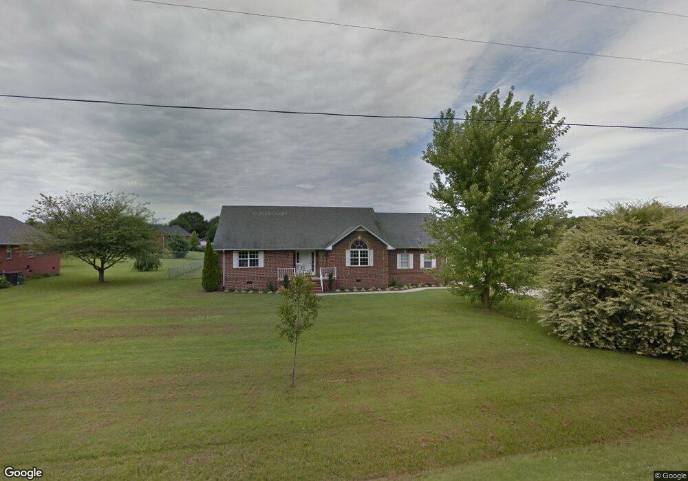
539 Brandon Rd Manchester, TN 37355
Estimated Value: $373,642 - $417,000
--
Bed
3
Baths
2,654
Sq Ft
$152/Sq Ft
Est. Value
About This Home
This home is located at 539 Brandon Rd, Manchester, TN 37355 and is currently estimated at $403,661, approximately $152 per square foot. 539 Brandon Rd is a home located in Coffee County with nearby schools including New Union Elementary School, Coffee County Middle School, and Coffee County Central High School.
Ownership History
Date
Name
Owned For
Owner Type
Purchase Details
Closed on
Dec 27, 2000
Sold by
Adams Dewey and Adams Eva
Bought by
Mcgowan Lorri A
Current Estimated Value
Home Financials for this Owner
Home Financials are based on the most recent Mortgage that was taken out on this home.
Original Mortgage
$145,255
Outstanding Balance
$61,248
Interest Rate
7.75%
Estimated Equity
$342,413
Purchase Details
Closed on
May 17, 2000
Sold by
Powers Daniel C
Bought by
Adams Dewey and Adams Eva
Home Financials for this Owner
Home Financials are based on the most recent Mortgage that was taken out on this home.
Original Mortgage
$105,000
Interest Rate
8.14%
Create a Home Valuation Report for This Property
The Home Valuation Report is an in-depth analysis detailing your home's value as well as a comparison with similar homes in the area
Home Values in the Area
Average Home Value in this Area
Purchase History
| Date | Buyer | Sale Price | Title Company |
|---|---|---|---|
| Mcgowan Lorri A | $152,900 | -- | |
| Adams Dewey | $12,000 | -- |
Source: Public Records
Mortgage History
| Date | Status | Borrower | Loan Amount |
|---|---|---|---|
| Open | Adams Dewey | $145,255 | |
| Previous Owner | Adams Dewey | $105,000 |
Source: Public Records
Tax History Compared to Growth
Tax History
| Year | Tax Paid | Tax Assessment Tax Assessment Total Assessment is a certain percentage of the fair market value that is determined by local assessors to be the total taxable value of land and additions on the property. | Land | Improvement |
|---|---|---|---|---|
| 2024 | $1,666 | $71,450 | $8,125 | $63,325 |
| 2023 | $1,666 | $71,450 | $0 | $0 |
| 2022 | $1,666 | $71,450 | $8,125 | $63,325 |
| 2021 | $1,545 | $52,700 | $5,000 | $47,700 |
| 2020 | $1,545 | $52,700 | $5,000 | $47,700 |
| 2019 | $1,545 | $52,700 | $5,000 | $47,700 |
| 2018 | $1,545 | $52,700 | $5,000 | $47,700 |
| 2017 | $1,405 | $43,075 | $4,250 | $38,825 |
| 2016 | $1,405 | $43,075 | $4,250 | $38,825 |
| 2015 | $1,405 | $43,075 | $4,250 | $38,825 |
| 2014 | $1,405 | $43,065 | $0 | $0 |
Source: Public Records
Map
Nearby Homes
- 621 Brandon Rd
- 493 Maple Springs Rd
- 106 Rigney Rd
- 239 Executive Ct
- 220 Winton Way Rd
- 67 Eldon Dr
- 2262 Woodbury Hwy
- 315 New Union Heights
- 676 Riddle Rd
- 1579 Woodbury Hwy
- 166 Keele Rd
- 650 Parker Rd
- 781 Circle Dr
- 837 Circle Dr
- 3313 McMinnville Hwy
- 163 Stonehenge Ln
- 499 Ridgewood Dr
- 216 Stonehenge Cir
- 2635 Pete Sain Rd
- 97 Stonehenge Ln
- 565 Brandon Rd
- 515 Brandon Rd
- 274 Courtnea Ln
- 236 Courtnea Ln
- 302 Courtnea Ln Unit LANE302
- 481 Brandon Rd
- 597 Brandon Rd
- 542 Brandon Rd
- 510 Brandon Rd
- 574 Brandon Rd
- 220 Courtnea Ln
- 330 Courtnea Ln
- 453 Brandon Rd
- 478 Brandon Rd
- 269 Courtnea Ln
- 190 Courtnea Ln
- 358 Courtnea Ln
- 287 Courtnea Ln
- 399 Courtnea Ln
- 237 Courtnea Ln