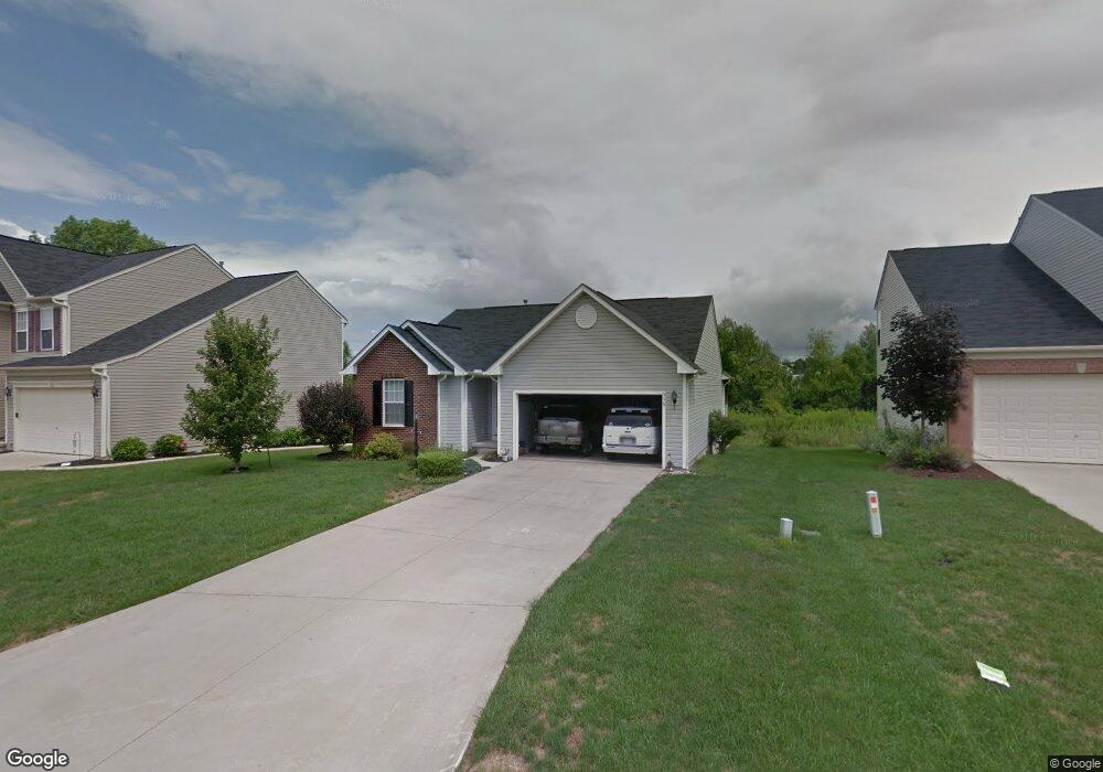
539 Brookside Ln Northfield, OH 44067
Estimated Value: $286,377 - $564,000
3
Beds
3
Baths
1,350
Sq Ft
$300/Sq Ft
Est. Value
About This Home
This home is located at 539 Brookside Ln, Northfield, OH 44067 and is currently estimated at $404,844, approximately $299 per square foot. 539 Brookside Ln is a home located in Summit County with nearby schools including Lee Eaton Elementary School, Nordonia Middle School, and Nordonia High School.
Ownership History
Date
Name
Owned For
Owner Type
Purchase Details
Closed on
Mar 19, 2012
Sold by
Czarnecki Carol M
Bought by
Czarnecki Donald
Current Estimated Value
Purchase Details
Closed on
Aug 23, 2004
Sold by
Czarnecki Donald C and Czarnecki Carol M
Bought by
Czarnecki Donald and Czarnecki Carol M
Purchase Details
Closed on
Apr 16, 2002
Sold by
Nvr Inc
Bought by
Czarnecki Donald C and Czarnecki Carol M
Home Financials for this Owner
Home Financials are based on the most recent Mortgage that was taken out on this home.
Original Mortgage
$63,000
Interest Rate
7%
Purchase Details
Closed on
Jan 24, 2002
Sold by
Rolling Brooke Development Inc
Bought by
Nvr Inc and Ryan Homes
Create a Home Valuation Report for This Property
The Home Valuation Report is an in-depth analysis detailing your home's value as well as a comparison with similar homes in the area
Home Values in the Area
Average Home Value in this Area
Purchase History
| Date | Buyer | Sale Price | Title Company |
|---|---|---|---|
| Czarnecki Donald | -- | Attorney | |
| Czarnecki Donald | -- | -- | |
| Czarnecki Donald C | $166,575 | Nvr Title | |
| Nvr Inc | $29,000 | Nvr Title Agency Llc |
Source: Public Records
Mortgage History
| Date | Status | Borrower | Loan Amount |
|---|---|---|---|
| Closed | Czarnecki Donald C | $63,000 |
Source: Public Records
Tax History
| Year | Tax Paid | Tax Assessment Tax Assessment Total Assessment is a certain percentage of the fair market value that is determined by local assessors to be the total taxable value of land and additions on the property. | Land | Improvement |
|---|---|---|---|---|
| 2024 | $4,183 | $81,652 | $17,756 | $63,896 |
| 2023 | $4,183 | $81,652 | $17,756 | $63,896 |
| 2022 | $3,959 | $64,296 | $13,983 | $50,313 |
| 2021 | $3,970 | $64,296 | $13,983 | $50,313 |
| 2020 | $3,906 | $64,290 | $13,980 | $50,310 |
| 2019 | $3,951 | $58,800 | $10,630 | $48,170 |
| 2018 | $3,482 | $58,800 | $10,630 | $48,170 |
| 2017 | $3,428 | $58,800 | $10,630 | $48,170 |
| 2016 | $3,429 | $55,060 | $10,630 | $44,430 |
| 2015 | $3,428 | $55,060 | $10,630 | $44,430 |
| 2014 | $3,407 | $55,060 | $10,630 | $44,430 |
| 2013 | $3,241 | $55,540 | $10,630 | $44,910 |
Source: Public Records
Map
Nearby Homes
- 770 Northbridge Ct Unit 27
- 1178 Twinsburg Rd E
- 0 Highland Valley View Rd E
- 53 Scupper Ln
- 53 Firebush Ln Unit 30
- 1481 Timber Trail
- 8559 Pabin Ct
- 8720 Olde 8 Rd
- 7855 Kitner Blvd
- 7863 Kitner Blvd
- 7599 Estate Ave
- 7583 Estate Ave
- 1772 Marwell Blvd
- 1440 E Hines Hill Rd
- 1927 Case St
- V/L- Eton St
- 6562 Regal Woods Dr
- 61 Lake Forest Dr
- 34 Chadbourne Dr
- 1632 Strauss Ln
- 547 Brookside Ln
- 531 Brookside Ln
- 555 Brookside Ln
- 513 Brookside Ln
- 544 Brookside Ln
- 530 Brookside Ln
- 7544 Pebble Brooke Ct
- 7530 Brookfield Ln
- 522 Brookside Ln
- 7524 Brookfield Ln
- 514 Brookside Ln
- 7518 Brookfield Ln
- 7538 Brookfield Ln
- 506 Brookside Ln
- 7551 Pebble Brooke Ct
- 7512 Brookfield Ln
- 7535 Pebble Brooke Ct
- 498 Brookside Ln
- 7543 Pebble Brooke Ct
- 579 E Twinsburg Rd