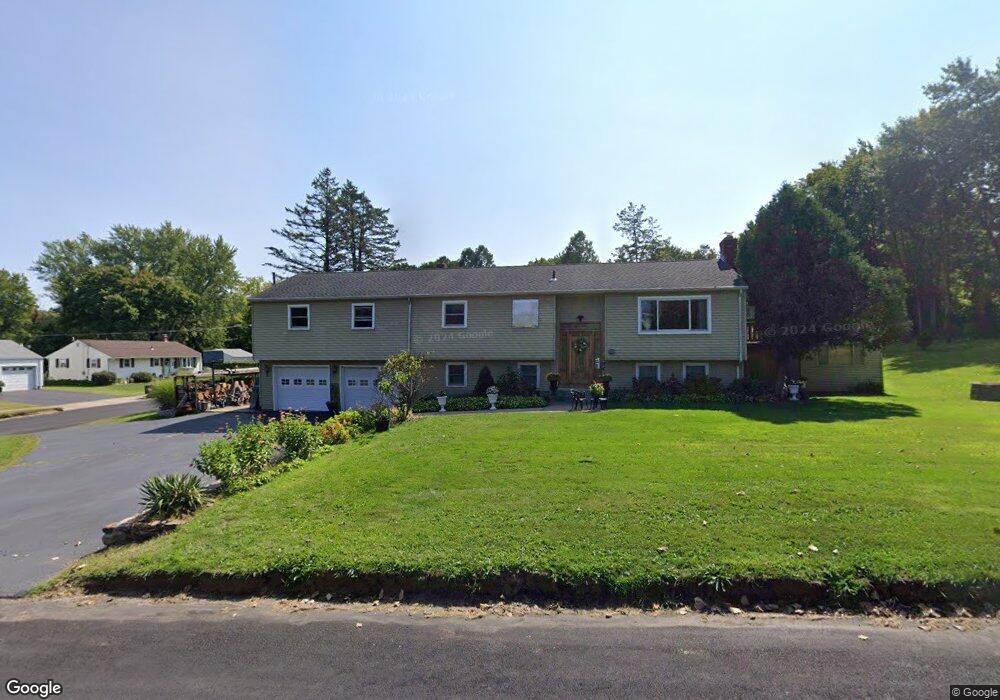
539 Congdon St Middletown, CT 06457
Westfield NeighborhoodEstimated Value: $367,000 - $437,683
3
Beds
2
Baths
1,572
Sq Ft
$266/Sq Ft
Est. Value
About This Home
This home is located at 539 Congdon St, Middletown, CT 06457 and is currently estimated at $418,171, approximately $266 per square foot. 539 Congdon St is a home located in Middlesex County with nearby schools including Spencer School, Middletown High School, and St John Paul II School.
Ownership History
Date
Name
Owned For
Owner Type
Purchase Details
Closed on
Dec 18, 2009
Sold by
Household Realty Corp
Bought by
Laccamo Michael and Laccamo Kimberly
Current Estimated Value
Home Financials for this Owner
Home Financials are based on the most recent Mortgage that was taken out on this home.
Original Mortgage
$208,587
Outstanding Balance
$136,199
Interest Rate
5%
Estimated Equity
$281,972
Purchase Details
Closed on
Aug 21, 2009
Sold by
Burke William J
Bought by
Household Realty Corp
Create a Home Valuation Report for This Property
The Home Valuation Report is an in-depth analysis detailing your home's value as well as a comparison with similar homes in the area
Home Values in the Area
Average Home Value in this Area
Purchase History
| Date | Buyer | Sale Price | Title Company |
|---|---|---|---|
| Laccamo Michael | $230,000 | -- | |
| Household Realty Corp | -- | -- |
Source: Public Records
Mortgage History
| Date | Status | Borrower | Loan Amount |
|---|---|---|---|
| Open | Household Realty Corp | $208,587 | |
| Previous Owner | Household Realty Corp | $44,000 |
Source: Public Records
Tax History Compared to Growth
Tax History
| Year | Tax Paid | Tax Assessment Tax Assessment Total Assessment is a certain percentage of the fair market value that is determined by local assessors to be the total taxable value of land and additions on the property. | Land | Improvement |
|---|---|---|---|---|
| 2025 | $8,355 | $248,020 | $76,730 | $171,290 |
| 2024 | $7,922 | $248,020 | $76,730 | $171,290 |
| 2023 | $7,452 | $248,020 | $76,730 | $171,290 |
| 2022 | $6,730 | $179,380 | $51,150 | $128,230 |
| 2021 | $6,713 | $179,380 | $51,150 | $128,230 |
| 2020 | $6,724 | $179,380 | $51,150 | $128,230 |
| 2019 | $6,760 | $179,380 | $51,150 | $128,230 |
| 2018 | $6,520 | $179,380 | $51,150 | $128,230 |
| 2017 | $6,687 | $188,630 | $56,030 | $132,600 |
| 2016 | $6,557 | $188,630 | $56,030 | $132,600 |
| 2015 | $6,416 | $188,630 | $56,030 | $132,600 |
| 2014 | $6,418 | $188,630 | $56,030 | $132,600 |
Source: Public Records
Map
Nearby Homes
- 75 Azalea Dr
- 134 Webster Ln Unit 2-15
- 137 Webster Ln Unit 2-42
- 145 Webster Ln Unit 2-41
- 123 Webster Ln
- 128 Webster Ln
- 115 Webster Ln Unit 115
- 100 Mccormick Ln
- 94 Cynthia Ln Unit C6
- 94 Cynthia Ln Unit D4
- 115 Meadowood Dr
- 27 Spring Brook Dr
- 59 Westfield Terrace
- 85 Westmont Dr
- 36 Brookview Ln
- 455 East St
- 33 Bartlett Hollow Unit 33
- 136 Westfield St
- 90 Briarwood Ln
- 84 Camp St
- 293 Basswood Dr
- 538 Congdon St
- 230 Ridgewood Rd
- 283 Basswood Dr
- 220 Ridgewood Rd
- 548 Congdon St
- 304 Basswood Dr
- 294 Basswood Dr
- 210 Ridgewood Rd
- 273 Basswood Dr
- 284 Basswood Dr
- 200 Ridgewood Rd
- 244 Ridgewood Rd
- 274 Basswood Dr
- 229 Ridgewood Rd
- 263 Basswood Dr
- 190 Ridgewood Rd
- 281 Nejako Dr
- 271 Nejako Dr
- 264 Basswood Dr