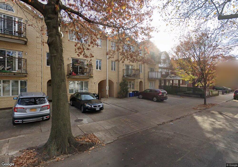
539 E 9th St Brooklyn, NY 11218
Kensington NeighborhoodEstimated Value: $2,111,000 - $2,333,000
Studio
--
Bath
4,221
Sq Ft
$526/Sq Ft
Est. Value
About This Home
This home is located at 539 E 9th St, Brooklyn, NY 11218 and is currently estimated at $2,222,000, approximately $526 per square foot. 539 E 9th St is a home located in Kings County with nearby schools including Ps 217 Colonel David Marcus School, Ditmas Junior High school, and Brooklyn Dreams Charter School.
Ownership History
Date
Name
Owned For
Owner Type
Purchase Details
Closed on
Feb 12, 1999
Sold by
533 E 9Th Street Realty Associates
Bought by
Schaefer Martin and Schaefer Svetlana
Current Estimated Value
Home Financials for this Owner
Home Financials are based on the most recent Mortgage that was taken out on this home.
Original Mortgage
$255,000
Interest Rate
7.19%
Create a Home Valuation Report for This Property
The Home Valuation Report is an in-depth analysis detailing your home's value as well as a comparison with similar homes in the area
Home Values in the Area
Average Home Value in this Area
Purchase History
| Date | Buyer | Sale Price | Title Company |
|---|---|---|---|
| Schaefer Martin | $410,000 | Stewart Title Insurance Co |
Source: Public Records
Mortgage History
| Date | Status | Borrower | Loan Amount |
|---|---|---|---|
| Previous Owner | Schaefer Martin | $255,000 |
Source: Public Records
Tax History
| Year | Tax Paid | Tax Assessment Tax Assessment Total Assessment is a certain percentage of the fair market value that is determined by local assessors to be the total taxable value of land and additions on the property. | Land | Improvement |
|---|---|---|---|---|
| 2025 | $17,688 | $160,380 | $35,460 | $124,920 |
| 2024 | $17,688 | $126,660 | $35,460 | $91,200 |
| 2023 | $16,873 | $147,060 | $35,460 | $111,600 |
| 2022 | $15,647 | $135,540 | $35,460 | $100,080 |
| 2021 | $15,562 | $110,940 | $35,460 | $75,480 |
| 2019 | $15,352 | $119,880 | $35,460 | $84,420 |
| 2018 | $14,114 | $69,236 | $29,651 | $39,585 |
| 2017 | $13,315 | $65,317 | $27,852 | $37,465 |
| 2016 | $12,318 | $61,620 | $35,460 | $26,160 |
| 2015 | $8,267 | $66,907 | $38,391 | $28,516 |
| 2014 | $8,267 | $63,120 | $39,420 | $23,700 |
Source: Public Records
Map
Nearby Homes
- 546 E 9th St
- 596 E 8th St
- 720 Ditmas Ave
- 474 Stratford Rd
- 345 Webster Ave Unit 3N
- 345 Webster Ave Unit 1O
- 345 Webster Ave Unit 4N
- 345 Webster Ave Unit 1G
- 716 Ditmas Ave
- 708 Ditmas Ave
- 467 Stratford Rd
- 570 Westminster Rd Unit C17
- 640 Ditmas Ave Unit 16
- 640 Ditmas Ave Unit 17
- 453 Stratford Rd
- 525 Ocean Pkwy Unit 4J
- 525 Ocean Pkwy Unit 5K
- 599 E 7th St Unit 2K
- 599 E 7th St Unit 1E
- 420 Stratford Rd
- 537 E 9th St Unit 539
- 537-539 E 9th St
- 543 E 9th St
- 535 E 9th St
- 531 E 9th St
- 547 E 9th St
- 527 E 9th St
- 555 E 9th St
- 523 E 9th St
- 540 E 9th St
- 540 E 9th St Unit 2 B
- 540 E 9th St Unit 4 TH
- 540 E 9th St Unit 2A
- 550 E 9 St
- 538 E 9th St
- 521 E 9th St
- 521 E 9th St Unit 2
- 559 E 9th St
- 534 E 9th St
- 892 Coney Island Ave
Your Personal Tour Guide
Ask me questions while you tour the home.