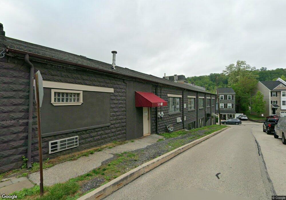
539 Ford St Unit C Conshohocken, PA 19428
Estimated Value: $1,172,942
--
Bed
--
Bath
10,300
Sq Ft
$114/Sq Ft
Est. Value
About This Home
This home is located at 539 Ford St Unit C, Conshohocken, PA 19428 and is currently estimated at $1,172,942, approximately $113 per square foot. 539 Ford St Unit C is a home located in Montgomery County with nearby schools including Bridgeport Elementary School, Upper Merion Middle School, and Upper Merion High School.
Ownership History
Date
Name
Owned For
Owner Type
Purchase Details
Closed on
Feb 7, 2003
Sold by
Kolea Beverly & Patricia Trustees
Bought by
Clinton Court Associates Lp
Current Estimated Value
Purchase Details
Closed on
Nov 4, 1997
Sold by
Kolea James J and Kolea Beverly I
Bought by
Kolea Beverly and Kolea Patricia
Create a Home Valuation Report for This Property
The Home Valuation Report is an in-depth analysis detailing your home's value as well as a comparison with similar homes in the area
Home Values in the Area
Average Home Value in this Area
Purchase History
| Date | Buyer | Sale Price | Title Company |
|---|---|---|---|
| Clinton Court Associates Lp | $515,000 | -- | |
| Clinton Court Assocs Lp | $515,000 | -- | |
| Clinton Court Associates Lp | $515,000 | T A Title Insurance Company | |
| Kolea Beverly | -- | -- |
Source: Public Records
Tax History Compared to Growth
Tax History
| Year | Tax Paid | Tax Assessment Tax Assessment Total Assessment is a certain percentage of the fair market value that is determined by local assessors to be the total taxable value of land and additions on the property. | Land | Improvement |
|---|---|---|---|---|
| 2025 | $5,847 | $206,210 | $47,650 | $158,560 |
| 2024 | $5,847 | $206,210 | $47,650 | $158,560 |
| 2023 | $5,622 | $206,210 | $47,650 | $158,560 |
| 2022 | $5,414 | $206,210 | $47,650 | $158,560 |
| 2021 | $5,354 | $206,210 | $47,650 | $158,560 |
| 2020 | $5,231 | $206,210 | $47,650 | $158,560 |
| 2019 | $5,139 | $206,210 | $47,650 | $158,560 |
| 2018 | $5,115 | $206,210 | $47,650 | $158,560 |
| 2017 | $5,018 | $206,210 | $47,650 | $158,560 |
| 2016 | $4,938 | $206,210 | $47,650 | $158,560 |
| 2015 | $4,938 | $206,210 | $47,650 | $158,560 |
| 2014 | $4,751 | $206,210 | $47,650 | $158,560 |
Source: Public Records
Map
Nearby Homes
- 537 Apple St Unit 302
- 607 Apple St
- 627 Ford St
- 628 Ford St
- 139 Moir Ave
- 107 Cedar Ave
- 211 Josephine Ave
- 116 Cedar Ave
- 17 Merion Ave
- 218 Bullock St
- 1408 Rene Rd
- 1018 Riverview Ln
- 1345 Valley Rd
- 1015 Riverview Ln
- 1626 Mount Pleasant Rd
- 300 W Elm St Unit 2412
- 1445 Mount Pleasant Rd
- 258 Tennessee Ave
- 1425 Mount Pleasant Rd
- 75 Maple St Unit 104