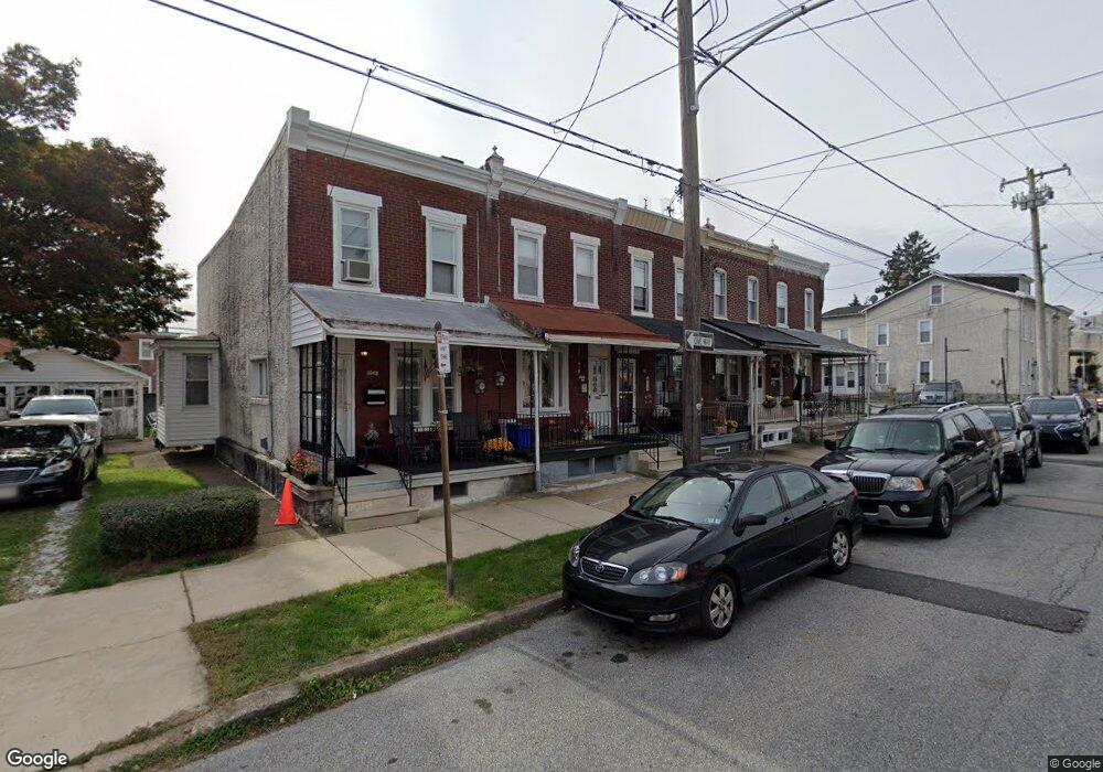
539 Green Ln Philadelphia, PA 19128
Roxborough NeighborhoodEstimated Value: $318,686 - $402,000
3
Beds
1
Bath
1,260
Sq Ft
$282/Sq Ft
Est. Value
About This Home
This home is located at 539 Green Ln, Philadelphia, PA 19128 and is currently estimated at $355,922, approximately $282 per square foot. 539 Green Ln is a home located in Philadelphia County with nearby schools including Shawmont School, Roxborough High School, and Holy Child School.
Ownership History
Date
Name
Owned For
Owner Type
Purchase Details
Closed on
Aug 3, 2004
Sold by
Dimaria Carol Ann and Dimaria Anthony J
Bought by
Dimaria Anthony J and Dimaria Carol Ann
Current Estimated Value
Home Financials for this Owner
Home Financials are based on the most recent Mortgage that was taken out on this home.
Original Mortgage
$110,000
Interest Rate
6.16%
Mortgage Type
New Conventional
Create a Home Valuation Report for This Property
The Home Valuation Report is an in-depth analysis detailing your home's value as well as a comparison with similar homes in the area
Home Values in the Area
Average Home Value in this Area
Purchase History
| Date | Buyer | Sale Price | Title Company |
|---|---|---|---|
| Dimaria Anthony J | -- | -- |
Source: Public Records
Mortgage History
| Date | Status | Borrower | Loan Amount |
|---|---|---|---|
| Closed | Dimaria Anthony J | $110,000 |
Source: Public Records
Tax History Compared to Growth
Tax History
| Year | Tax Paid | Tax Assessment Tax Assessment Total Assessment is a certain percentage of the fair market value that is determined by local assessors to be the total taxable value of land and additions on the property. | Land | Improvement |
|---|---|---|---|---|
| 2025 | $3,158 | $281,300 | $56,260 | $225,040 |
| 2024 | $3,158 | $281,300 | $56,260 | $225,040 |
| 2023 | $3,158 | $225,600 | $45,120 | $180,480 |
| 2022 | $2,024 | $180,600 | $45,120 | $135,480 |
| 2021 | $2,654 | $0 | $0 | $0 |
| 2020 | $2,654 | $0 | $0 | $0 |
| 2019 | $2,609 | $0 | $0 | $0 |
| 2018 | $2,366 | $0 | $0 | $0 |
| 2017 | $2,366 | $0 | $0 | $0 |
| 2016 | $1,946 | $0 | $0 | $0 |
| 2015 | $1,863 | $0 | $0 | $0 |
| 2014 | -- | $169,000 | $20,900 | $148,100 |
| 2012 | -- | $20,640 | $2,019 | $18,621 |
Source: Public Records
Map
Nearby Homes
- 545 Green Ln
- 517 Conarroe St
- 6106 Ridge Ave
- 603 Green Ln
- 481 Conarroe St
- 451 Green Ln
- 472 Lyceum Ave
- 622 Green Ln
- 452 Green Ln
- 4531 Mitchell St
- 468 Leverington Ave
- 4448 Mitchell St
- 444 Dupont St
- 635 Dupont St Unit O
- 434-36 Conarroe St
- 610 Martin St
- 4538 Mitchell St
- 485 Ripka St
- 6232 Ridge Ave
- 628 Leverington Ave Unit 1
- 541 Green Ln
- 537 Green Ln
- 535 Green Ln
- 543 Green Ln
- 529 Conarroe St
- 527 Green Ln
- 525 Green Ln
- 537 Conarroe St
- 535 Dupont St Unit A
- 535 Dupont St
- 535 Dupont St Unit B
- 534 Green Ln
- 532 Green Ln
- 527 Conarroe St
- 523 Green Ln
- 525 Conarroe St
- 533 Conarroe St
- 539 Conarroe St
- 531 Conarroe St
- 541 Conarroe St