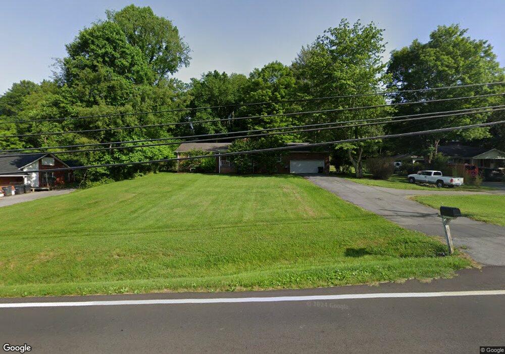
539 Highway 126 Bristol, TN 37620
Estimated Value: $277,000 - $298,460
3
Beds
2
Baths
1,680
Sq Ft
$170/Sq Ft
Est. Value
About This Home
This home is located at 539 Highway 126, Bristol, TN 37620 and is currently estimated at $285,615, approximately $170 per square foot. 539 Highway 126 is a home located in Sullivan County with nearby schools including Anderson Elementary School, Vance Middle School, and Tennessee High School.
Ownership History
Date
Name
Owned For
Owner Type
Purchase Details
Closed on
Dec 29, 2023
Sold by
Goforth William T D
Bought by
Richards James David and Richards Mia M
Current Estimated Value
Home Financials for this Owner
Home Financials are based on the most recent Mortgage that was taken out on this home.
Original Mortgage
$250,000
Outstanding Balance
$240,625
Interest Rate
2.6%
Mortgage Type
Seller Take Back
Estimated Equity
$44,990
Purchase Details
Closed on
Aug 9, 1990
Create a Home Valuation Report for This Property
The Home Valuation Report is an in-depth analysis detailing your home's value as well as a comparison with similar homes in the area
Home Values in the Area
Average Home Value in this Area
Purchase History
| Date | Buyer | Sale Price | Title Company |
|---|---|---|---|
| Richards James David | $255,000 | Evergreen Title | |
| -- | $60,000 | -- |
Source: Public Records
Mortgage History
| Date | Status | Borrower | Loan Amount |
|---|---|---|---|
| Open | Richards James David | $250,000 |
Source: Public Records
Tax History Compared to Growth
Tax History
| Year | Tax Paid | Tax Assessment Tax Assessment Total Assessment is a certain percentage of the fair market value that is determined by local assessors to be the total taxable value of land and additions on the property. | Land | Improvement |
|---|---|---|---|---|
| 2024 | -- | $39,600 | $5,875 | $33,725 |
| 2023 | $1,740 | $39,600 | $5,875 | $33,725 |
| 2022 | $1,740 | $39,600 | $5,875 | $33,725 |
| 2021 | $1,739 | $39,600 | $5,875 | $33,725 |
| 2020 | $1,764 | $39,600 | $5,875 | $33,725 |
| 2019 | $1,764 | $37,275 | $5,875 | $31,400 |
| 2018 | $1,757 | $37,275 | $5,875 | $31,400 |
| 2017 | $1,757 | $37,275 | $5,875 | $31,400 |
| 2016 | $1,614 | $33,450 | $5,875 | $27,575 |
| 2014 | $1,524 | $33,450 | $0 | $0 |
Source: Public Records
Map
Nearby Homes
- 528 Highway 126
- 113 Neal Dr
- 2909 Bay St
- 129 Grove Park Dr
- 124 Boardwalk
- 129 Amhurst Ln
- 107 Dover Ln
- 222 Old Stage Dr
- 2461 Bradley St
- Tbd Kelly Ridge Rd
- 636 Meadow View Rd
- 1323/1385 Island Rd
- 2228 Bay St
- 2400 Bradley St
- 2413 Catherine St
- 00 Gateway Dr
- 000 Hemlock Dr
- 2412,14,16 Bradley St
- 2241 Bradley St
- 548 Floyd St
- 527 Highway 126
- 557 Highway 126
- 557 Tennessee 126
- 521 Highway 126
- 561 Highway 126
- 552 Highway 126
- 501 Blountville Hwy
- 501 Highway 126
- 587 Highway 126
- 110 Maplelawn Dr
- 413 Blountville Hwy
- 597 Highway 126
- 112 Maplelawn Dr
- 409 Blountville Hwy
- 409 Tennessee 126
- 412 Tennessee 126
- 116 Maplelawn Dr
- 3740 Highway 11e
- 107 Maplelawn Dr
- 405 Blountville Hwy