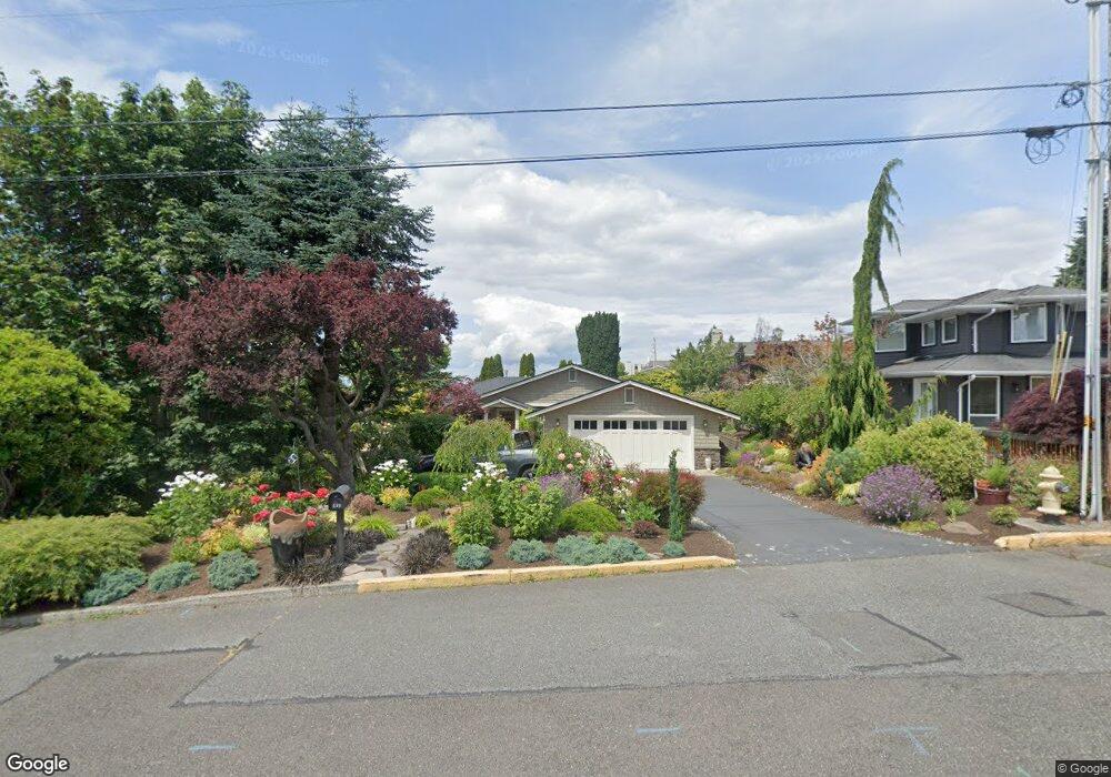
539 Homeland Dr Edmonds, WA 98020
Pine Park NeighborhoodEstimated Value: $1,042,000 - $1,512,000
2
Beds
2
Baths
1,878
Sq Ft
$715/Sq Ft
Est. Value
About This Home
This home is located at 539 Homeland Dr, Edmonds, WA 98020 and is currently estimated at $1,343,459, approximately $715 per square foot. 539 Homeland Dr is a home located in Snohomish County with nearby schools including Sherwood Elementary School, College Place Middle School, and Edmonds-Woodway High School.
Ownership History
Date
Name
Owned For
Owner Type
Purchase Details
Closed on
Aug 31, 2022
Sold by
Dawson Wes C
Bought by
Wesley Dawson Revocable Living Trust
Current Estimated Value
Purchase Details
Closed on
Dec 27, 2000
Sold by
Dawson Walter R and Dawson Eudocia F
Bought by
Dawson Wes C
Home Financials for this Owner
Home Financials are based on the most recent Mortgage that was taken out on this home.
Original Mortgage
$237,500
Interest Rate
7.71%
Purchase Details
Closed on
Jan 19, 1999
Sold by
Zickefoose George L and Zickefoose Janet A
Bought by
Dawson Walter R and Dawson Eudocia F
Home Financials for this Owner
Home Financials are based on the most recent Mortgage that was taken out on this home.
Original Mortgage
$200,000
Interest Rate
6.63%
Create a Home Valuation Report for This Property
The Home Valuation Report is an in-depth analysis detailing your home's value as well as a comparison with similar homes in the area
Home Values in the Area
Average Home Value in this Area
Purchase History
| Date | Buyer | Sale Price | Title Company |
|---|---|---|---|
| Wesley Dawson Revocable Living Trust | -- | -- | |
| Dawson Wes C | $250,000 | Pacific Northwest Title | |
| Dawson Walter R | $250,000 | -- |
Source: Public Records
Mortgage History
| Date | Status | Borrower | Loan Amount |
|---|---|---|---|
| Previous Owner | Dawson Wes C | $237,500 | |
| Previous Owner | Dawson Walter R | $200,000 |
Source: Public Records
Tax History Compared to Growth
Tax History
| Year | Tax Paid | Tax Assessment Tax Assessment Total Assessment is a certain percentage of the fair market value that is determined by local assessors to be the total taxable value of land and additions on the property. | Land | Improvement |
|---|---|---|---|---|
| 2025 | $8,624 | $1,235,100 | $833,000 | $402,100 |
| 2024 | $8,624 | $1,212,100 | $810,000 | $402,100 |
| 2023 | $8,062 | $1,174,200 | $770,000 | $404,200 |
| 2022 | $8,675 | $1,038,700 | $696,000 | $342,700 |
| 2020 | $8,188 | $876,900 | $569,000 | $307,900 |
| 2019 | $7,549 | $814,300 | $512,000 | $302,300 |
| 2018 | $7,723 | $719,700 | $450,000 | $269,700 |
| 2017 | $6,928 | $675,500 | $405,000 | $270,500 |
| 2016 | $6,726 | $649,800 | $390,000 | $259,800 |
| 2015 | $6,151 | $559,500 | $354,100 | $205,400 |
| 2013 | $4,664 | $400,100 | $292,900 | $107,200 |
Source: Public Records
Map
Nearby Homes
- 335 3rd Ave S Unit 203
- 960 5th Ave S Unit 208
- 1071 4th Ave S Unit 302
- 816 Walnut St
- 1110 5th Ave S Unit 204
- 1140 3rd Ave S
- 637 Elm Place
- 621 Daley St
- 658 Glen St Unit 302
- 1018 Walnut St
- 603 7th Ave N Unit A306
- 1021 Walnut St
- 609 7th Ave N Unit B204
- 71 Pine St Unit 212
- 55 Pine St Unit 203
- 71 Pine St Unit 302
- 50 Pine St Unit 103
- 1221 Coronado Place
- 21703 97th Ave W
- 9533 Bowdoin Way