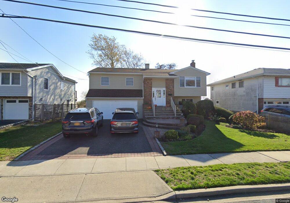
539 Links Dr E Oceanside, NY 11572
Estimated Value: $910,156 - $1,065,000
4
Beds
3
Baths
1,450
Sq Ft
$681/Sq Ft
Est. Value
About This Home
This home is located at 539 Links Dr E, Oceanside, NY 11572 and is currently estimated at $987,578, approximately $681 per square foot. 539 Links Dr E is a home located in Nassau County with nearby schools including Boardman Elementary School, Oceanside Middle School, and Oceanside High School.
Ownership History
Date
Name
Owned For
Owner Type
Purchase Details
Closed on
Feb 14, 2020
Sold by
Shapiro Perry and Shapiro Susan
Bought by
Burker Debra and Burker Isaac
Current Estimated Value
Home Financials for this Owner
Home Financials are based on the most recent Mortgage that was taken out on this home.
Original Mortgage
$510,500
Outstanding Balance
$452,012
Interest Rate
3.6%
Mortgage Type
New Conventional
Estimated Equity
$535,566
Create a Home Valuation Report for This Property
The Home Valuation Report is an in-depth analysis detailing your home's value as well as a comparison with similar homes in the area
Home Values in the Area
Average Home Value in this Area
Purchase History
| Date | Buyer | Sale Price | Title Company |
|---|---|---|---|
| Burker Debra | $661,000 | Justice Title & Escrow |
Source: Public Records
Mortgage History
| Date | Status | Borrower | Loan Amount |
|---|---|---|---|
| Open | Burker Debra | $510,500 |
Source: Public Records
Tax History
| Year | Tax Paid | Tax Assessment Tax Assessment Total Assessment is a certain percentage of the fair market value that is determined by local assessors to be the total taxable value of land and additions on the property. | Land | Improvement |
|---|---|---|---|---|
| 2025 | $15,519 | $562 | $250 | $312 |
| 2024 | $4,386 | $565 | $251 | $314 |
Source: Public Records
Map
Nearby Homes
- 512 Links Dr E
- 487 Links Dr E
- 348 Links Dr E
- 243 Mott St
- 3461 Ocean Ave
- 3822 Greentree Dr
- 3452 Ocean Ave
- 3391 Fairway Rd
- 3881 Greentree Dr
- 163 Mott St
- 3454 Woodward St
- 3930 Jane Ln
- 3309 Skillman Ave
- 3432 Bayfield Blvd
- 528 Carpenter Ave
- 3522 Frederick St
- 3451 3rd St
- 3483 Frederick St
- 94 Jeffery Ln
- 3186 Grand Ave
Your Personal Tour Guide
Ask me questions while you tour the home.