539 Meyers St Confluence, PA 15424
Estimated Value: $97,000 - $204,000
3
Beds
2
Baths
564
Sq Ft
$290/Sq Ft
Est. Value
About This Home
This home is located at 539 Meyers St, Confluence, PA 15424 and is currently estimated at $163,837, approximately $290 per square foot. 539 Meyers St is a home located in Somerset County with nearby schools including Turkeyfoot Valley Area Elementary School and Turkeyfoot Valley Area Junior/Senior High School.
Ownership History
Date
Name
Owned For
Owner Type
Purchase Details
Closed on
Feb 5, 2018
Sold by
Lynch Rosalie R
Bought by
Culp Kathleen S
Current Estimated Value
Purchase Details
Closed on
Jun 10, 2013
Sold by
Kennedy Lorrarine M
Bought by
Culp Kathleen S
Home Financials for this Owner
Home Financials are based on the most recent Mortgage that was taken out on this home.
Original Mortgage
$72,000
Interest Rate
3.43%
Mortgage Type
New Conventional
Create a Home Valuation Report for This Property
The Home Valuation Report is an in-depth analysis detailing your home's value as well as a comparison with similar homes in the area
Home Values in the Area
Average Home Value in this Area
Purchase History
| Date | Buyer | Sale Price | Title Company |
|---|---|---|---|
| Culp Kathleen S | $132,000 | None Available | |
| Culp Kathleen S | $90,000 | None Available |
Source: Public Records
Mortgage History
| Date | Status | Borrower | Loan Amount |
|---|---|---|---|
| Previous Owner | Culp Kathleen S | $72,000 |
Source: Public Records
Tax History Compared to Growth
Tax History
| Year | Tax Paid | Tax Assessment Tax Assessment Total Assessment is a certain percentage of the fair market value that is determined by local assessors to be the total taxable value of land and additions on the property. | Land | Improvement |
|---|---|---|---|---|
| 2025 | $1,506 | $29,310 | $0 | $0 |
| 2024 | $1,506 | $29,310 | $0 | $0 |
| 2023 | $1,455 | $29,310 | $0 | $0 |
| 2022 | $1,420 | $29,310 | $0 | $0 |
| 2021 | $1,391 | $29,310 | $0 | $0 |
| 2020 | $1,391 | $29,310 | $0 | $0 |
| 2019 | $1,056 | $22,260 | $0 | $0 |
| 2018 | $1,046 | $22,260 | $3,680 | $18,580 |
| 2017 | $1,002 | $22,260 | $3,680 | $18,580 |
| 2016 | -- | $22,260 | $3,680 | $18,580 |
| 2015 | -- | $22,250 | $3,675 | $18,575 |
| 2014 | -- | $22,250 | $3,675 | $18,575 |
Source: Public Records
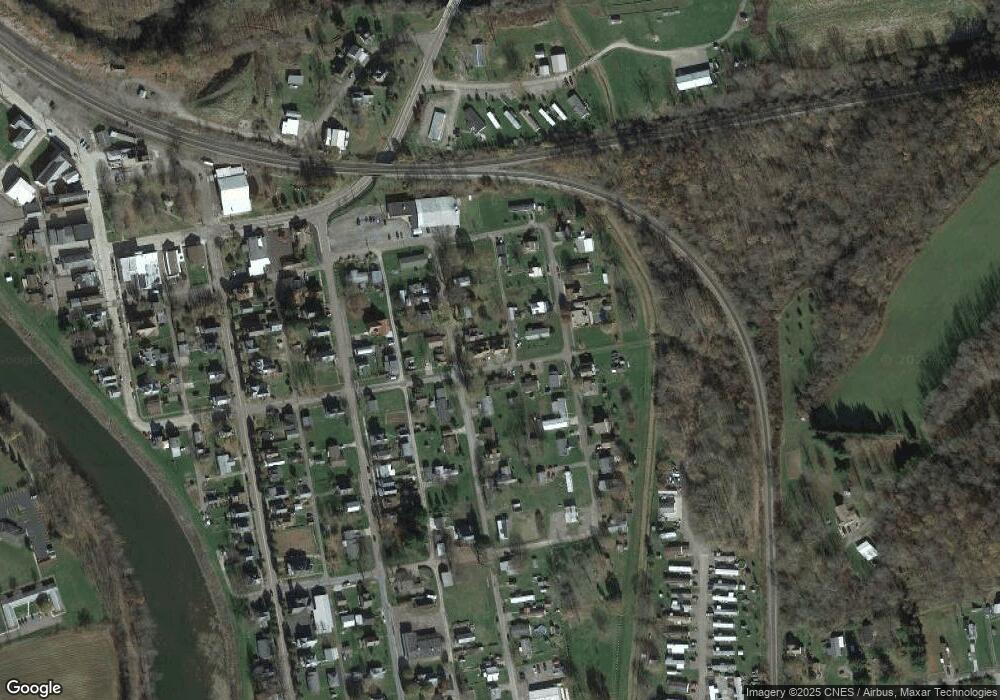
Map
Nearby Homes
- 631 Meyers St
- 833 Oden St
- 626 Sterner St
- 0 Klondike Rd Unit 22177073
- 0 Klondike Rd Unit 22177082
- 0 Klondike Rd Unit 22177080
- 0 Klondike Rd Unit 22177074
- Coon Hollow Rd
- 0 Coon Hollow Rd
- #5 & #7 Laurel Rd
- 100 First St
- 100 First Street Lot Unit WP001
- 100 Jersey Hollow Rd
- 230 Locust Rd
- 280 Main St
- 750 Lake Side Rd
- 734 Main St
- 309 Dark Hollow Rd
- 171 Mae Rd W
- 112 New Beaver Creek Rd