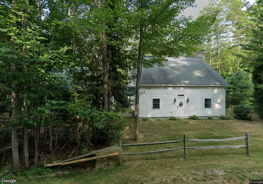
539 Old Bartlett Rd Conway, NH 03818
Estimated Value: $600,000 - $720,723
2
Beds
3
Baths
1,618
Sq Ft
$397/Sq Ft
Est. Value
About This Home
This home is located at 539 Old Bartlett Rd, Conway, NH 03818 and is currently estimated at $641,931, approximately $396 per square foot. 539 Old Bartlett Rd is a home with nearby schools including A. Crosby Kennett Middle School, Kennett High School, and The Lilliputian School.
Ownership History
Date
Name
Owned For
Owner Type
Purchase Details
Closed on
Mar 16, 2015
Sold by
Coyne Jerald J and Coyne Bernadine
Bought by
Porter Raymond F and Dion Danielle L
Current Estimated Value
Home Financials for this Owner
Home Financials are based on the most recent Mortgage that was taken out on this home.
Original Mortgage
$125,000
Outstanding Balance
$44,939
Interest Rate
3.67%
Estimated Equity
$596,992
Purchase Details
Closed on
Jul 3, 2007
Sold by
Croasdale Jayne
Bought by
Coyne Jerald J and Coyne Bernadine
Home Financials for this Owner
Home Financials are based on the most recent Mortgage that was taken out on this home.
Original Mortgage
$272,000
Interest Rate
6.24%
Create a Home Valuation Report for This Property
The Home Valuation Report is an in-depth analysis detailing your home's value as well as a comparison with similar homes in the area
Home Values in the Area
Average Home Value in this Area
Purchase History
| Date | Buyer | Sale Price | Title Company |
|---|---|---|---|
| Porter Raymond F | $304,933 | -- | |
| Coyne Jerald J | $340,000 | -- |
Source: Public Records
Mortgage History
| Date | Status | Borrower | Loan Amount |
|---|---|---|---|
| Open | Porter Raymond F | $125,000 | |
| Previous Owner | Coyne Jerald J | $258,200 | |
| Previous Owner | Coyne Jerald J | $272,000 |
Source: Public Records
Tax History Compared to Growth
Tax History
| Year | Tax Paid | Tax Assessment Tax Assessment Total Assessment is a certain percentage of the fair market value that is determined by local assessors to be the total taxable value of land and additions on the property. | Land | Improvement |
|---|---|---|---|---|
| 2024 | $5,010 | $436,800 | $140,900 | $295,900 |
| 2023 | $6,085 | $521,000 | $140,900 | $380,100 |
| 2022 | $4,916 | $250,800 | $72,500 | $178,300 |
| 2021 | $4,098 | $250,800 | $72,500 | $178,300 |
| 2020 | $4,236 | $250,800 | $72,500 | $178,300 |
| 2019 | $4,931 | $284,700 | $80,500 | $204,200 |
| 2018 | $5,176 | $227,500 | $60,500 | $167,000 |
| 2017 | $4,545 | $227,500 | $60,500 | $167,000 |
| 2016 | $4,393 | $227,500 | $60,500 | $167,000 |
| 2015 | $4,343 | $227,500 | $60,500 | $167,000 |
| 2014 | $4,291 | $227,500 | $60,500 | $167,000 |
| 2013 | $4,190 | $234,600 | $60,500 | $174,100 |
Source: Public Records
Map
Nearby Homes
- 50 Drachenfels Rd
- 679 Kearsarge Rd
- 970 Kearsarge Rd
- 72 Cranmore Woods Ln Unit 2
- 72 Cranmore Woods Ln Unit 4
- 45 Wildflower Trail Unit 9
- 168 Old Bartlett Rd Unit A
- 46 Crestwood Dr
- 243 Skimobile Rd Unit 352
- 243 Skimobile Rd Unit 252
- 243 Skimobile Rd Unit 355
- 243 Skimobile Rd Unit 255
- 235 Skimobile Rd Unit 1404
- 239 Skimobile Rd Unit 314
- 239 Skimobile Rd Unit 305
- 239 Skimobile Rd Unit 304
- 17 Purple Finch Rd Unit 73
- 137 Skimobile Rd Unit 3
- 15 Black Diamond Rd Unit 4
- 11 Black Diamond Rd Unit 3
- 29 Crown Ridge Rd
- 843 Kearsarge Rd
- 538 Old Bartlett Rd
- 496 Old Bartlett Rd
- 45 Crown Ridge Rd
- 565 Old Bartlett Rd
- 565 Old Bartlett Rd
- 539 Old Bartlett Rd
- 538 Old Bartlett Rd
- 503 Old Bartlett Rd Unit 1
- 503 Old Bartlett Rd
- 491 Old Bartlett Rd
- 859 Kearsarge Rd
- 568 Old Bartlett Rd
- 781 Kearsarge
- 515 Old Bartlett Rd
- 1000 Kearsarge Rd
- 771 Kearsarge Rd
- 65 Crown Ridge Rd
- 826 Kearsarge Rd