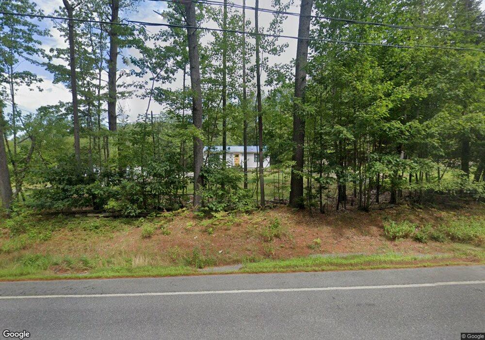
539 Route 103 Newbury, NH 03255
Estimated Value: $333,497
--
Bed
--
Bath
3,255
Sq Ft
$102/Sq Ft
Est. Value
About This Home
This home is located at 539 Route 103, Newbury, NH 03255 and is currently estimated at $333,497, approximately $102 per square foot. 539 Route 103 is a home located in Merrimack County with nearby schools including Kearsarge Regional Elementary School at Bradford, Kearsarge Regional Middle School, and Kearsarge Regional High School.
Ownership History
Date
Name
Owned For
Owner Type
Purchase Details
Closed on
Aug 29, 2024
Sold by
539 Route 103 Llc
Bought by
Mtc Sqd Enterprises Llc
Current Estimated Value
Purchase Details
Closed on
Jan 14, 2010
Sold by
John W Kiley Jr T
Bought by
539 Route 103 Llc
Home Financials for this Owner
Home Financials are based on the most recent Mortgage that was taken out on this home.
Original Mortgage
$199,500
Interest Rate
4.71%
Mortgage Type
Commercial
Create a Home Valuation Report for This Property
The Home Valuation Report is an in-depth analysis detailing your home's value as well as a comparison with similar homes in the area
Home Values in the Area
Average Home Value in this Area
Purchase History
| Date | Buyer | Sale Price | Title Company |
|---|---|---|---|
| Mtc Sqd Enterprises Llc | $317,000 | None Available | |
| Mtc Sqd Enterprises Llc | $317,000 | None Available | |
| 539 Route 103 Llc | $200,000 | -- | |
| 539 Route 103 Llc | $200,000 | -- |
Source: Public Records
Mortgage History
| Date | Status | Borrower | Loan Amount |
|---|---|---|---|
| Previous Owner | 539 Route 103 Llc | $199,500 |
Source: Public Records
Tax History Compared to Growth
Tax History
| Year | Tax Paid | Tax Assessment Tax Assessment Total Assessment is a certain percentage of the fair market value that is determined by local assessors to be the total taxable value of land and additions on the property. | Land | Improvement |
|---|---|---|---|---|
| 2024 | $4,006 | $307,000 | $178,000 | $129,000 |
| 2023 | $4,006 | $307,000 | $178,000 | $129,000 |
| 2022 | $3,494 | $307,000 | $178,000 | $129,000 |
| 2021 | $3,494 | $307,000 | $178,000 | $129,000 |
| 2020 | $3,297 | $199,600 | $104,100 | $95,500 |
| 2019 | $3,170 | $199,600 | $104,100 | $95,500 |
| 2018 | $3,094 | $199,600 | $104,100 | $95,500 |
| 2017 | $3,136 | $199,600 | $104,100 | $95,500 |
| 2016 | $3,204 | $199,600 | $104,100 | $95,500 |
| 2015 | $3,292 | $202,200 | $104,100 | $98,100 |
| 2014 | $3,132 | $202,200 | $104,100 | $98,100 |
| 2013 | $3,019 | $202,200 | $104,100 | $98,100 |
Source: Public Records
Map
Nearby Homes
- 318 Old Post Rd
- 263 Old Post Rd
- 61 Brookside Rd
- 00 Brookside Rd Unit 530-317&525-332
- 420 Sutton Rd
- 200 South Rd
- 108 Circle View Dr
- 0 Crest Dr Unit 4996159
- 306 Mountain Rd
- 214 Winding Brook Rd
- 6 Chapin Way Unit 6
- 12 Chapin Way Unit Lot 12
- 36 Shore Dr
- 99 Newell Rd
- 44 Pleasant View Rd
- 0 Lakewood Manor Rd Unit 467
- 00 Fairgrounds Rd Unit 5
- 81 Gerald Dr
- 344 Chalk Pond Rd
- 25 Hilltop Dr
- 571 Route 103
- 546 Route 103
- 578 Route 103
- 27 Fortune Ln
- 405 Old Post Rd
- 28 Fortune Ln
- 0 Route 103 & Colburn Farm Rd
- 23 Fortune Ln
- 335 Old Post Rd
- 22 Fortune Ln
- 39 Village Rd
- 15 Fortune Ln
- 16 Fortune Ln
- 369 Old Post Rd
- 606 Route 103
- 166 Colburn Farm Rd
- 361 Old Post Rd
- 0 Village Rd
- 57 Village Rd
- 251 New Hampshire Route 103