539 Wansor Rd East Wakefield, NH 03830
Estimated Value: $248,115 - $420,000
3
Beds
1
Bath
829
Sq Ft
$371/Sq Ft
Est. Value
About This Home
This home is located at 539 Wansor Rd, East Wakefield, NH 03830 and is currently estimated at $307,529, approximately $370 per square foot. 539 Wansor Rd is a home with nearby schools including Paul Elementary School.
Create a Home Valuation Report for This Property
The Home Valuation Report is an in-depth analysis detailing your home's value as well as a comparison with similar homes in the area
Home Values in the Area
Average Home Value in this Area
Tax History Compared to Growth
Tax History
| Year | Tax Paid | Tax Assessment Tax Assessment Total Assessment is a certain percentage of the fair market value that is determined by local assessors to be the total taxable value of land and additions on the property. | Land | Improvement |
|---|---|---|---|---|
| 2024 | $1,251 | $166,400 | $78,100 | $88,300 |
| 2023 | $1,140 | $166,400 | $78,100 | $88,300 |
| 2022 | $1,134 | $92,600 | $48,000 | $44,600 |
| 2021 | $1,143 | $92,600 | $48,000 | $44,600 |
| 2020 | $1,146 | $92,600 | $48,000 | $44,600 |
| 2019 | $1,155 | $92,600 | $48,000 | $44,600 |
| 2018 | $1,043 | $92,600 | $48,000 | $44,600 |
| 2017 | $1,417 | $112,000 | $77,900 | $34,100 |
| 2016 | $1,449 | $112,000 | $77,900 | $34,100 |
| 2015 | $1,463 | $112,000 | $77,900 | $34,100 |
| 2014 | $1,427 | $112,000 | $77,900 | $34,100 |
| 2013 | $1,375 | $112,000 | $77,900 | $34,100 |
Source: Public Records
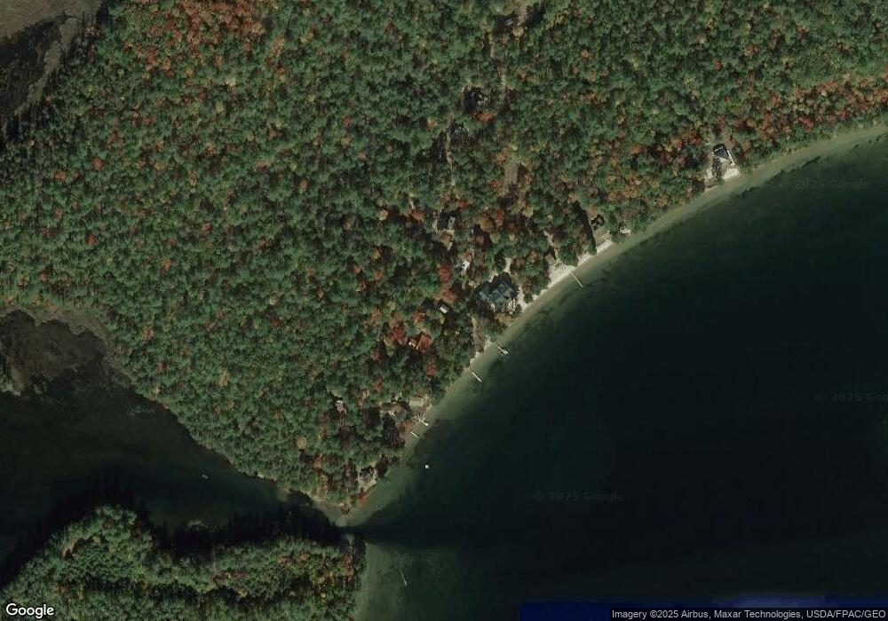
Map
Nearby Homes
- 97 Daniel Dr
- 1690 Province Lake Rd
- Lot #021 Abbott Rd
- 140 Perkins Hill Rd
- 0 Monique Dr Unit 5047887
- Lots 30+18 Thornhill Rd
- 204 Acton Ridge Rd Unit 204
- 1618 Acton Ridge Rd
- 149 Sleepy Hollow Rd
- 29 Concord Ln
- 55 Cese Way
- 2403 Province Lake Rd Unit 21000
- 253 Asbury Ln
- 115 Chandler Ln
- 30 White Birch Rd
- TBD Mann Rd
- 0 Whitehouse Rd
- 163 Buzzell Rd
- 0 Island Dr
- 57 Green Bay Rd