539 Wrights Mill Rd Commerce, GA 30530
Estimated Value: $479,000 - $639,486
2
Beds
3
Baths
2,240
Sq Ft
$248/Sq Ft
Est. Value
About This Home
This home is located at 539 Wrights Mill Rd, Commerce, GA 30530 and is currently estimated at $555,872, approximately $248 per square foot. 539 Wrights Mill Rd is a home located in Banks County with nearby schools including Banks County Primary School, Banks County Elementary School, and Banks County Middle School.
Ownership History
Date
Name
Owned For
Owner Type
Purchase Details
Closed on
Jun 11, 2020
Sold by
Bryson Andrew
Bought by
Gaston Marsha Dean
Current Estimated Value
Purchase Details
Closed on
Feb 18, 2010
Sold by
Hemby Lory Bryson
Bought by
Bryson Andrew M
Purchase Details
Closed on
Nov 3, 2006
Sold by
Hemby Lory Bryson
Bought by
Hemby Lory Bryson and Bryson Andrew M
Create a Home Valuation Report for This Property
The Home Valuation Report is an in-depth analysis detailing your home's value as well as a comparison with similar homes in the area
Home Values in the Area
Average Home Value in this Area
Purchase History
| Date | Buyer | Sale Price | Title Company |
|---|---|---|---|
| Gaston Marsha Dean | $325,000 | -- | |
| Bryson Andrew M | -- | -- | |
| Hemby Lory Bryson | -- | -- |
Source: Public Records
Tax History
| Year | Tax Paid | Tax Assessment Tax Assessment Total Assessment is a certain percentage of the fair market value that is determined by local assessors to be the total taxable value of land and additions on the property. | Land | Improvement |
|---|---|---|---|---|
| 2025 | $4,485 | $234,903 | $112,141 | $122,762 |
| 2024 | $4,485 | $225,220 | $107,454 | $117,766 |
| 2023 | $3,622 | $177,946 | $87,841 | $90,105 |
| 2022 | $3,560 | $169,424 | $89,425 | $79,999 |
| 2021 | $2,904 | $150,492 | $74,522 | $75,970 |
| 2020 | $3,046 | $132,833 | $57,324 | $75,509 |
| 2019 | $2,046 | $133,405 | $57,896 | $75,509 |
| 2018 | $1,957 | $128,543 | $57,896 | $70,647 |
| 2017 | $2,033 | $121,010 | $50,344 | $70,666 |
| 2016 | $1,889 | $113,308 | $50,344 | $62,964 |
| 2015 | $1,756 | $113,308 | $50,344 | $62,964 |
| 2014 | $1,756 | $160,168 | $97,204 | $62,964 |
| 2013 | -- | $160,168 | $97,204 | $62,964 |
Source: Public Records
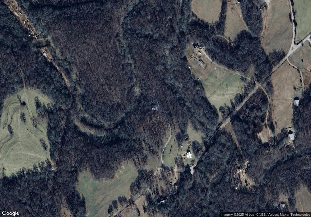
Map
Nearby Homes
- 193 Wrights Mill Ln
- 731 Borders Rd
- 161 Meadow Lake Dr
- 129 Meadow Brook Ln
- 0 Freedom Ln Unit 9B
- 0 Freedom Ln Unit 18C 10380663
- 0 Freedom Ln Unit 9D
- 0 Freedom Ln Unit 9C
- 0 Freedom Ln Unit 18B 10379747
- 0 Freedom Ln Unit 9E
- 224 Hebron Rd
- 333 Sims Bridge Rd
- 166 Freedom Ln
- 2015 Highway 59
- 0 Varner Rd
- 2100 Westbrook Rd
- 433 Neal Rd
- 823 Highway 63
- 163 M t Trail
- 119 Gordon Rd
- 561 Wrights Mill Rd
- 637 Wrights Mill Rd
- 504 Wrights Mill Rd
- 628 Wrights Mill Rd
- 638 Wrights Mill Rd
- 438 Wrights Mill Rd
- 429 Wrights Mill Rd
- 321 Borders Dr
- 311 Borders Dr
- 560 Carlan Rd
- 746 Wrights Mill Rd
- 746 Wrights Mill Rd Unit 1
- 572 Carlan Rd
- 386 Wrights Mill Rd
- 432 Wrights Mill Rd
- 982 Wrights Mill Rd
- 236 Borders Dr
- 0 Wrights Mill Rd Unit 7438919
- 0 Wrights Mill Rd Unit 939498
- 0 Wrights Mill Rd Unit 976825
Your Personal Tour Guide
Ask me questions while you tour the home.