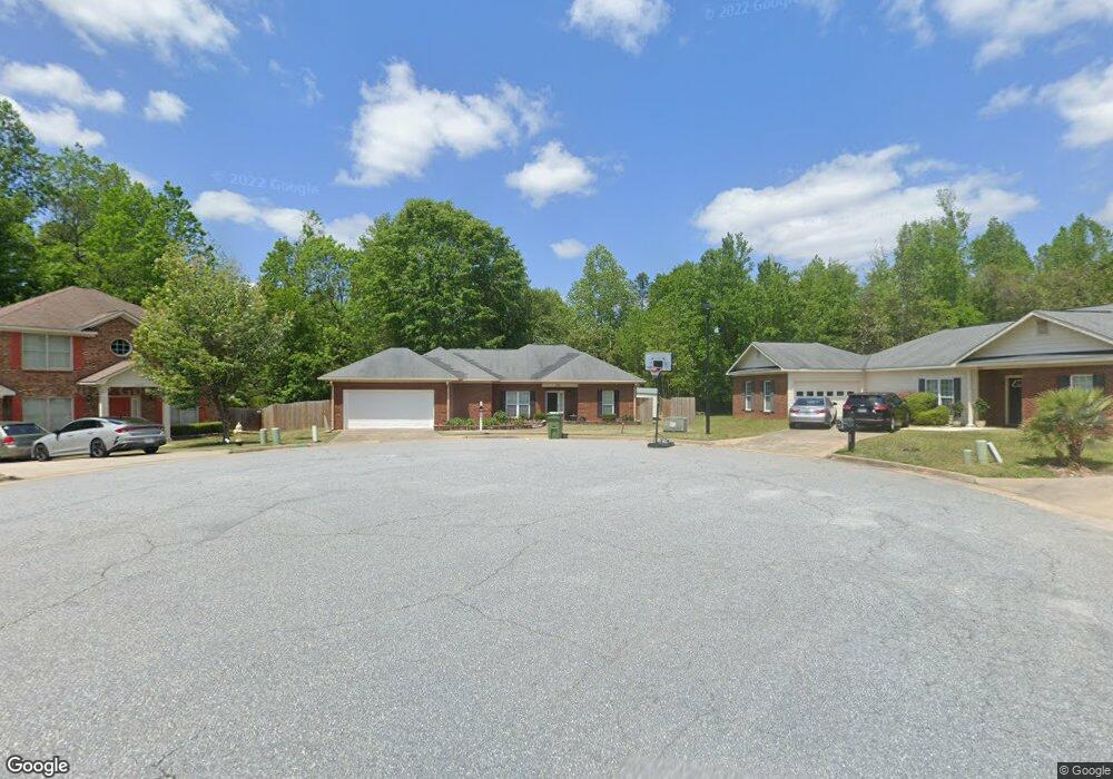
5391 Converse Dr Columbus, GA 31907
Eastern Columbus NeighborhoodEstimated Value: $200,000 - $228,233
3
Beds
3
Baths
1,644
Sq Ft
$132/Sq Ft
Est. Value
About This Home
This home is located at 5391 Converse Dr, Columbus, GA 31907 and is currently estimated at $216,558, approximately $131 per square foot. 5391 Converse Dr is a home located in Muscogee County with nearby schools including Taylor Ranch Elementary School, Dawson Elementary School, and East Columbus Magnet Academy.
Ownership History
Date
Name
Owned For
Owner Type
Purchase Details
Closed on
May 6, 2019
Sold by
Randall Christopher J
Bought by
Scott Barbara L
Current Estimated Value
Home Financials for this Owner
Home Financials are based on the most recent Mortgage that was taken out on this home.
Original Mortgage
$60,000
Outstanding Balance
$52,537
Interest Rate
4%
Estimated Equity
$164,021
Create a Home Valuation Report for This Property
The Home Valuation Report is an in-depth analysis detailing your home's value as well as a comparison with similar homes in the area
Home Values in the Area
Average Home Value in this Area
Purchase History
| Date | Buyer | Sale Price | Title Company |
|---|---|---|---|
| Scott Barbara L | $110,000 | -- |
Source: Public Records
Mortgage History
| Date | Status | Borrower | Loan Amount |
|---|---|---|---|
| Open | Scott Barbara L | $60,000 |
Source: Public Records
Tax History Compared to Growth
Tax History
| Year | Tax Paid | Tax Assessment Tax Assessment Total Assessment is a certain percentage of the fair market value that is determined by local assessors to be the total taxable value of land and additions on the property. | Land | Improvement |
|---|---|---|---|---|
| 2025 | -- | $83,012 | $14,400 | $68,612 |
| 2024 | -- | $83,012 | $14,400 | $68,612 |
| 2023 | $1,257 | $83,012 | $14,400 | $68,612 |
| 2022 | $1,257 | $60,808 | $14,400 | $46,408 |
| 2021 | $1,250 | $56,236 | $14,400 | $41,836 |
| 2020 | $1,250 | $44,000 | $9,480 | $34,520 |
| 2019 | $2,591 | $63,232 | $14,400 | $48,832 |
| 2018 | $2,591 | $63,232 | $14,400 | $48,832 |
| 2017 | $2,199 | $63,232 | $14,400 | $48,832 |
| 2016 | $0 | $66,811 | $14,000 | $52,811 |
| 2015 | -- | $66,811 | $14,000 | $52,811 |
| 2014 | -- | $66,811 | $14,000 | $52,811 |
| 2013 | -- | $66,811 | $14,000 | $52,811 |
Source: Public Records
Map
Nearby Homes
- 31 R C Allen Dr
- 300 Jefferson Dr
- 100 R C Allen Dr
- 5021 Shirley Ann Dr
- 5003 Shirley Ann Dr
- 4965 Brightstar Ln
- 4930 Capricorn Ct
- 4846 Maplewood Dr
- 59 Apollo Dr
- 780 Honey Do Ct
- 4201 Valley Crest Dr
- 5235 Vincent Dr
- 4801 Allen St
- 4408 Walking Stick Way
- 4939 Aaron Dr
- 849 Bunker Hill Rd
- 4516 Sims St
- 418 Henson Ave
- 4462 Walking Stick Way
- 811 Pheasant Loop
- 5390 Converse Dr
- 5393 Converse Dr
- 382 Carolann Ct
- 287 Ella Ct Unit 27
- 5395 Converse Dr
- 390 Carolann Ct Unit 21
- 390 Carolann Ct
- 5392 Converse Dr
- 289 Ella Ct Unit 26
- 289 Ella Ct
- 5397 Converse Dr
- 286 Ella Ct
- 286 Ella Ct Unit 28
- 5394 Converse Dr
- 383 Carolann Ct Unit 19
- 394 Carolann Ct Unit 22
- 295 Ella Ct
- 5396 Converse Dr
- 301 Converse Ct
- 317 Converse Ct