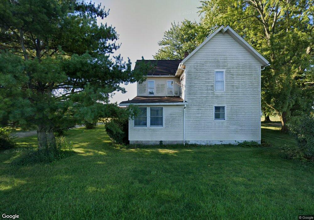
5391 E 700 N Roanoke, IN 46783
Estimated Value: $197,000 - $380,000
4
Beds
1
Bath
2,396
Sq Ft
$122/Sq Ft
Est. Value
About This Home
This home is located at 5391 E 700 N, Roanoke, IN 46783 and is currently estimated at $292,981, approximately $122 per square foot. 5391 E 700 N is a home located in Huntington County with nearby schools including Roanoke Elementary School, Crestview Middle School, and Huntington North High School.
Create a Home Valuation Report for This Property
The Home Valuation Report is an in-depth analysis detailing your home's value as well as a comparison with similar homes in the area
Home Values in the Area
Average Home Value in this Area
Tax History Compared to Growth
Tax History
| Year | Tax Paid | Tax Assessment Tax Assessment Total Assessment is a certain percentage of the fair market value that is determined by local assessors to be the total taxable value of land and additions on the property. | Land | Improvement |
|---|---|---|---|---|
| 2024 | $2,492 | $177,200 | $23,900 | $153,300 |
| 2023 | $2,293 | $154,000 | $23,900 | $130,100 |
| 2022 | $2,156 | $149,700 | $23,900 | $125,800 |
| 2021 | $2,201 | $138,500 | $23,900 | $114,600 |
| 2020 | $2,159 | $131,400 | $23,900 | $107,500 |
| 2019 | $1,750 | $117,000 | $23,900 | $93,100 |
| 2018 | $1,813 | $113,400 | $23,900 | $89,500 |
| 2017 | $444 | $112,000 | $23,900 | $88,100 |
| 2016 | $381 | $111,100 | $23,900 | $87,200 |
| 2014 | $339 | $105,300 | $23,900 | $81,400 |
| 2013 | $339 | $103,000 | $23,900 | $79,100 |
Source: Public Records
Map
Nearby Homes
- * Ginger Rd
- 4565 E Station Rd
- 0 Ginger Rd
- 15011 Lafayette Center Rd
- 602 Nancyk Crossing
- 680 Helms Orange Dr
- 451 Rockwell Ave
- 13011 Hamilton Rd
- 548 Frederick Crossing
- 183 W Vine St
- 738 Waxwing Ct Unit 29
- 366 Hillside Ave
- TBD Feighner Rd
- tbd Kilsoquah
- 180 W 6th St
- 599 N Seminary St
- TBD W Yoder Rd
- 500 W 800 N-90
- 715 N Seminary St
- 775 N Seminary St