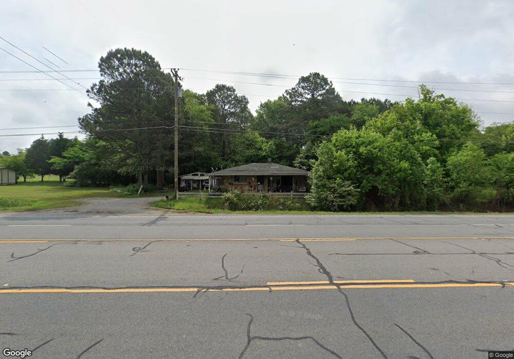
5392 N Highway 27 La Fayette, GA 30728
Noble NeighborhoodEstimated Value: $138,285 - $175,000
--
Bed
1
Bath
868
Sq Ft
$177/Sq Ft
Est. Value
About This Home
This home is located at 5392 N Highway 27, La Fayette, GA 30728 and is currently estimated at $153,821, approximately $177 per square foot. 5392 N Highway 27 is a home located in Walker County with nearby schools including Rock Spring Elementary School and Lafayette High School.
Ownership History
Date
Name
Owned For
Owner Type
Purchase Details
Closed on
Feb 10, 2017
Sold by
Lawson Harold
Bought by
Voiles Willie B
Current Estimated Value
Purchase Details
Closed on
Oct 22, 2004
Sold by
Shahan Archie L and Shahan Rhonda L
Bought by
Lawson Harold and Lawson Joann
Purchase Details
Closed on
Mar 19, 2002
Sold by
Junkins John B and Junkins Rochelle L
Bought by
Shahan Archie L and Shahan Rhonda L
Purchase Details
Closed on
Nov 1, 1984
Sold by
Mcclure Scotty and Wf Betty Fra
Bought by
Junkins John B and Junkins Rochelle L
Purchase Details
Closed on
Apr 1, 1982
Sold by
Wallis John
Bought by
Mcclure Scotty and Wf Betty Fra
Purchase Details
Closed on
Nov 1, 1976
Sold by
Wallis Martha
Bought by
Wallis John
Purchase Details
Closed on
Jan 13, 1976
Sold by
Wallis John
Bought by
Wallis Martha
Purchase Details
Closed on
Apr 1, 1972
Bought by
Wallis John
Create a Home Valuation Report for This Property
The Home Valuation Report is an in-depth analysis detailing your home's value as well as a comparison with similar homes in the area
Home Values in the Area
Average Home Value in this Area
Purchase History
| Date | Buyer | Sale Price | Title Company |
|---|---|---|---|
| Voiles Willie B | -- | -- | |
| Lawson Harold | $17,000 | -- | |
| Shahan Archie L | $13,500 | -- | |
| Junkins John B | -- | -- | |
| Mcclure Scotty | -- | -- | |
| Wallis John | -- | -- | |
| Wallis Martha | -- | -- | |
| Wallis John | -- | -- |
Source: Public Records
Tax History Compared to Growth
Tax History
| Year | Tax Paid | Tax Assessment Tax Assessment Total Assessment is a certain percentage of the fair market value that is determined by local assessors to be the total taxable value of land and additions on the property. | Land | Improvement |
|---|---|---|---|---|
| 2024 | $1,093 | $47,675 | $2,929 | $44,746 |
| 2023 | $1,052 | $44,761 | $2,324 | $42,437 |
| 2022 | $998 | $39,104 | $2,972 | $36,132 |
| 2021 | $612 | $20,310 | $2,972 | $17,338 |
| 2020 | $534 | $16,647 | $2,972 | $13,675 |
| 2019 | $90 | $17,386 | $2,972 | $14,414 |
| 2018 | $460 | $17,386 | $2,972 | $14,414 |
| 2017 | $611 | $17,386 | $2,972 | $14,414 |
| 2016 | $555 | $17,386 | $2,972 | $14,414 |
| 2015 | $404 | $10,510 | $1,088 | $9,422 |
| 2014 | $330 | $10,510 | $1,088 | $9,422 |
| 2013 | -- | $10,510 | $1,088 | $9,422 |
Source: Public Records
Map
Nearby Homes
- 0 Veeler Rd Unit 1522679
- 0 Veeler Rd Unit 10628696
- 4654 Us Highway 27
- 329 Lynn Trail
- 4582 Highway N 27
- 4544 N Highway 27
- 63 Loughridge Ln
- 663 Diamond Cir
- 11 Willow Cir
- 16 Willow Cir
- 23 Willow Cir
- The Pearson Plan at Laurel Ridge
- The Benson II Plan at Laurel Ridge
- The Langford Plan at Laurel Ridge
- The Lawson Plan at Laurel Ridge
- The Coleman Plan at Laurel Ridge
- The McGinnis Plan at Laurel Ridge
- The Caldwell Plan at Laurel Ridge
- 906 Diamond Cir
- 1186 E Reed Rd
- 5356 N Highway 27
- 5431 N Highway 27
- 81 Center Grove Rd
- 34 Center Grove Rd
- 0 Center Grove Rd
- 0 Center Grove Rd Unit 1210818
- 0 Center Grove Rd Unit 1021918
- 0 Center Grove Rd Unit 1137607
- 64 Center Grove Rd
- 5345 N Highway 27
- 5345 N Hwy 27
- 106 Center Grove Rd
- 78 Center Grove Rd
- 110 Groves Rd
- 96 Center Grove Rd
- 5511 Hwy 27 N
- 5329 N Highway 27
- 5511 N Highway 27
- 5329 Highway 27
- 58 Highland Dr