5392 No Name Rd Loomis, CA 95650
Estimated Value: $465,000 - $820,030
5
Beds
2
Baths
1,571
Sq Ft
$430/Sq Ft
Est. Value
About This Home
This home is located at 5392 No Name Rd, Loomis, CA 95650 and is currently estimated at $675,758, approximately $430 per square foot. 5392 No Name Rd is a home located in Placer County with nearby schools including Del Oro High School, Loomis Basin Charter School, and Sierra Foothills Academy.
Ownership History
Date
Name
Owned For
Owner Type
Purchase Details
Closed on
May 12, 2025
Sold by
Gerwer Danny Michael
Bought by
Danny Gerwer Family Trust and Gerwer
Current Estimated Value
Purchase Details
Closed on
Mar 20, 2007
Sold by
Bunton Bonnie Rae and Bews Daniel Henry
Bought by
Gerwer Danny Michael
Home Financials for this Owner
Home Financials are based on the most recent Mortgage that was taken out on this home.
Original Mortgage
$324,000
Interest Rate
6.31%
Mortgage Type
Purchase Money Mortgage
Purchase Details
Closed on
Jan 24, 2005
Sold by
Bews Dennis R and Bews Adele P
Bought by
Bews Francis Richard
Purchase Details
Closed on
Apr 19, 1995
Sold by
Bews Francis R
Bought by
Bews Francis Richard
Purchase Details
Closed on
Dec 15, 1993
Sold by
Va
Bought by
Bews Francis R and Bews Pauline
Create a Home Valuation Report for This Property
The Home Valuation Report is an in-depth analysis detailing your home's value as well as a comparison with similar homes in the area
Home Values in the Area
Average Home Value in this Area
Purchase History
| Date | Buyer | Sale Price | Title Company |
|---|---|---|---|
| Danny Gerwer Family Trust | -- | None Listed On Document | |
| Gerwer Danny Michael | $405,000 | Alliance Title Company | |
| Bews Francis Richard | -- | -- | |
| Bews Francis Richard | -- | -- | |
| Bews Francis R | -- | -- |
Source: Public Records
Mortgage History
| Date | Status | Borrower | Loan Amount |
|---|---|---|---|
| Previous Owner | Gerwer Danny Michael | $324,000 |
Source: Public Records
Tax History Compared to Growth
Tax History
| Year | Tax Paid | Tax Assessment Tax Assessment Total Assessment is a certain percentage of the fair market value that is determined by local assessors to be the total taxable value of land and additions on the property. | Land | Improvement |
|---|---|---|---|---|
| 2025 | $5,961 | $542,598 | $267,948 | $274,650 |
| 2023 | $5,961 | $521,531 | $257,545 | $263,986 |
| 2022 | $5,849 | $511,306 | $252,496 | $258,810 |
| 2021 | $5,696 | $501,282 | $247,546 | $253,736 |
| 2020 | $5,624 | $496,143 | $245,008 | $251,135 |
| 2019 | $5,525 | $486,415 | $240,204 | $246,211 |
| 2018 | $5,137 | $467,341 | $230,800 | $236,541 |
| 2017 | $4,948 | $448,828 | $221,600 | $227,228 |
| 2016 | $4,506 | $407,942 | $201,500 | $206,442 |
| 2015 | $3,897 | $352,152 | $173,900 | $178,252 |
| 2014 | $3,737 | $336,000 | $165,900 | $170,100 |
Source: Public Records
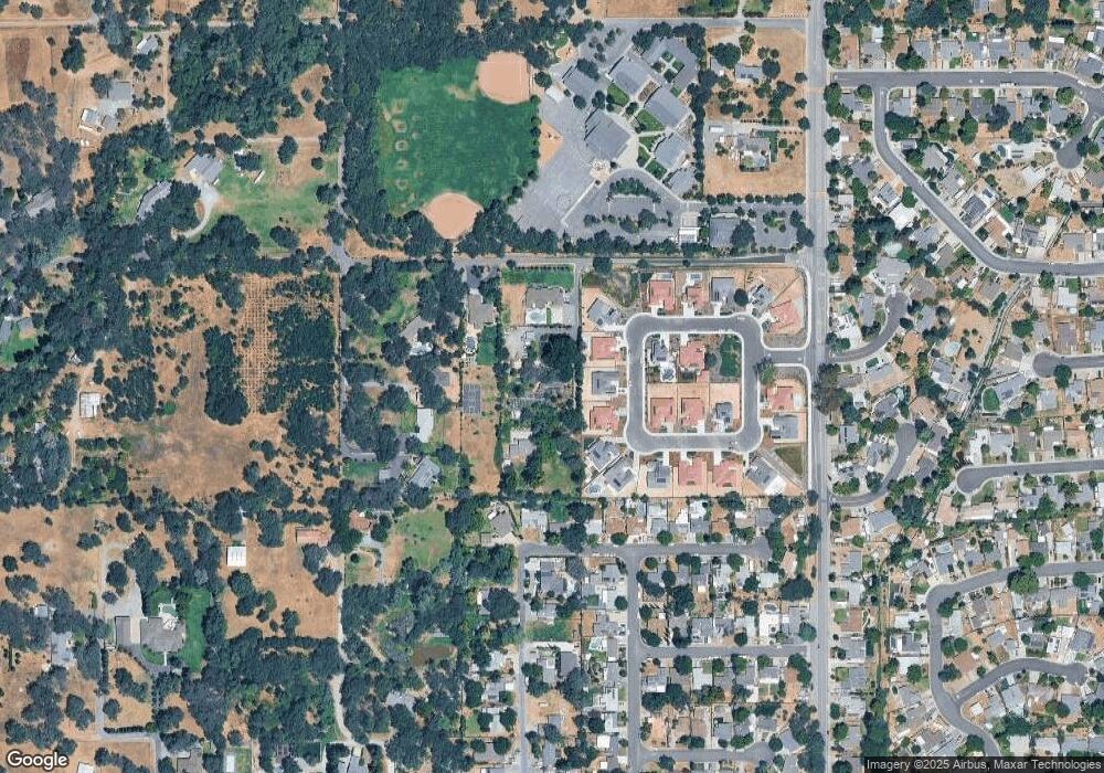
Map
Nearby Homes
- 3407 Reyman Ln
- 3420 Grove Cir
- 5769 Connie Ct
- 5480 Granite Dell Ct
- 5594 King Rd
- 6085 Arcadia Ave
- 3592 Colony Ln
- 6385 Arcadia Ave
- 6470 Arcadia Ave
- 5922 Angelo Dr
- 5986 Mareta Ln
- 4990 Del Rd
- 4700 King Rd
- 0 Tracy Ln
- 3331 Taylor Rd
- 2840 Delmar Ave
- 5924 Walnut St
- 2615 Delmar Ave
- 3293 Stone Field Way
- 3844 Circle Dr
- 5350 No Name Rd
- 5398 No Name Rd
- 5386 No Name Rd
- 5386 No Name Rd
- 5296 No Name Rd
- 3400 Grove Cir
- 3345 Grove Cir
- 5310 No Name Rd
- 5435 Myrtle Dr
- 5449 Myrtle Dr
- 5284 No Name Rd
- 5471 Myrtle Dr
- 5415 Myrtle Dr
- 3342 Humphrey Rd
- 5479 Myrtle Dr
- 5491 Myrtle Dr
- 5505 Myrtle Dr
- 5521 Myrtle Dr
- 3387 Reyman Ln
- 3384 Colvin Dr