5392 Overland Trail Melrose, IA 52569
Estimated Value: $66,654 - $125,000
2
Beds
--
Bath
755
Sq Ft
$127/Sq Ft
Est. Value
About This Home
This home is located at 5392 Overland Trail, Melrose, IA 52569 and is currently estimated at $95,914, approximately $127 per square foot. 5392 Overland Trail is a home located in Monroe County with nearby schools including Kendall Elementary School, Grant Center, and Lincoln Center.
Ownership History
Date
Name
Owned For
Owner Type
Purchase Details
Closed on
Apr 25, 2019
Sold by
Lincoln Charles M and Lincoln Barbara M
Bought by
Lincoln Shawn D and Lincoln Cassie J
Current Estimated Value
Purchase Details
Closed on
Jul 21, 2006
Sold by
Metzger Randy E
Bought by
Myers John M and Myers Tamara S
Home Financials for this Owner
Home Financials are based on the most recent Mortgage that was taken out on this home.
Original Mortgage
$27,000
Interest Rate
7.25%
Mortgage Type
Adjustable Rate Mortgage/ARM
Create a Home Valuation Report for This Property
The Home Valuation Report is an in-depth analysis detailing your home's value as well as a comparison with similar homes in the area
Home Values in the Area
Average Home Value in this Area
Purchase History
| Date | Buyer | Sale Price | Title Company |
|---|---|---|---|
| Lincoln Shawn D | $55,000 | -- | |
| Myers John M | $28,500 | None Available |
Source: Public Records
Mortgage History
| Date | Status | Borrower | Loan Amount |
|---|---|---|---|
| Previous Owner | Myers John M | $27,000 |
Source: Public Records
Tax History Compared to Growth
Tax History
| Year | Tax Paid | Tax Assessment Tax Assessment Total Assessment is a certain percentage of the fair market value that is determined by local assessors to be the total taxable value of land and additions on the property. | Land | Improvement |
|---|---|---|---|---|
| 2024 | $776 | $57,120 | $4,600 | $52,520 |
| 2023 | $728 | $57,120 | $4,600 | $52,520 |
| 2022 | $674 | $42,920 | $3,530 | $39,390 |
| 2021 | $598 | $42,920 | $3,530 | $39,390 |
| 2020 | $606 | $36,560 | $3,000 | $33,560 |
| 2019 | $638 | $35,410 | $0 | $0 |
| 2018 | $638 | $35,410 | $0 | $0 |
| 2017 | $630 | $34,090 | $0 | $0 |
| 2016 | $630 | $34,090 | $0 | $0 |
| 2015 | $632 | $33,910 | $0 | $0 |
| 2014 | $632 | $33,910 | $0 | $0 |
Source: Public Records
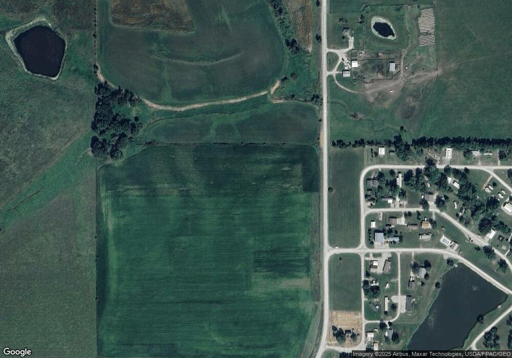
Map
Nearby Homes
- 5339 Calvary Trail
- 2692 535th Trail
- 5365 Longhorn Trail
- 5370 Wells Fargo Trail
- 2771 520th Ave
- LOTS 10 AND 11 Wind-N-waves
- 0 LOT 28 BLK 5 S70 Hwy
- Lot 1 Blk 5 Wind-N-waves
- 0 LOT 3 Bridgeview Dr
- 196 Lakeview Dr
- 245 Lake Dr
- 156 Refuge Rd
- 184 Refuge Rd
- 198 Refuge Rd
- 158 Lake Dr
- 113 Cove Rd
- 254 Lake Dr
- 376 Lake Dr
- 398 Lake Dr
- 336 Lake Dr
- 5339 Apache Trail Lot #124
- 5339 Apache Trail Lot Unit 124
- 5340 Longhorn Trail
- 1 Buffalo Bill Trail
- 5338 Morman Trail
- 2680 Chisholm Trail
- 5345 Apache Trail
- 5337 Calvary Trail
- 2660 535th Trail
- 5345 Longhorn Trail
- 0 535th Trail
- 0 535th Trail Unit 5420939
- 1 Cavalry Rd
- 5340 Calvary Trail
- 5240 Calvary Trail
- 5360 Overland Trail
- 5359 Overland Trail
- 5352 Wells Fargo Trail
- 5362 Longhorn Trail
- Lot 6 Apache Trail