53920 208th Ln Mankato, MN 56001
Estimated Value: $933,918
--
Bed
--
Bath
8,400
Sq Ft
$111/Sq Ft
Est. Value
About This Home
This home is located at 53920 208th Ln, Mankato, MN 56001 and is currently estimated at $933,918, approximately $111 per square foot. 53920 208th Ln is a home located in Blue Earth County with nearby schools including Lake Crystal Wellcome Memorial Elementary School and Lake Crystal Wellcome Memorial Secondary School.
Ownership History
Date
Name
Owned For
Owner Type
Purchase Details
Closed on
Apr 1, 2015
Sold by
Kuiper Enterprises Llc
Bought by
South Bend Properties Llc
Current Estimated Value
Home Financials for this Owner
Home Financials are based on the most recent Mortgage that was taken out on this home.
Original Mortgage
$485,000
Outstanding Balance
$372,682
Interest Rate
3.69%
Estimated Equity
$561,236
Create a Home Valuation Report for This Property
The Home Valuation Report is an in-depth analysis detailing your home's value as well as a comparison with similar homes in the area
Home Values in the Area
Average Home Value in this Area
Purchase History
| Date | Buyer | Sale Price | Title Company |
|---|---|---|---|
| South Bend Properties Llc | $485,000 | -- | |
| -- | $485,000 | -- |
Source: Public Records
Mortgage History
| Date | Status | Borrower | Loan Amount |
|---|---|---|---|
| Open | -- | $485,000 | |
| Closed | South Bend Properties Llc | $388,000 |
Source: Public Records
Tax History Compared to Growth
Tax History
| Year | Tax Paid | Tax Assessment Tax Assessment Total Assessment is a certain percentage of the fair market value that is determined by local assessors to be the total taxable value of land and additions on the property. | Land | Improvement |
|---|---|---|---|---|
| 2025 | $13,502 | $598,900 | $81,600 | $517,300 |
| 2024 | $13,502 | $601,700 | $81,600 | $520,100 |
| 2023 | $11,788 | $561,600 | $65,500 | $496,100 |
| 2022 | $13,302 | $508,700 | $65,500 | $443,200 |
| 2021 | $13,064 | $497,700 | $65,500 | $432,200 |
| 2020 | $13,102 | $491,500 | $65,500 | $426,000 |
| 2019 | $11,816 | $491,500 | $65,500 | $426,000 |
| 2018 | $11,212 | $481,300 | $65,500 | $415,800 |
| 2017 | $11,932 | $481,300 | $65,500 | $415,800 |
| 2016 | $9,868 | $481,300 | $65,500 | $415,800 |
| 2015 | $90 | $391,100 | $65,500 | $325,600 |
| 2014 | $10,834 | $367,800 | $40,300 | $327,500 |
Source: Public Records
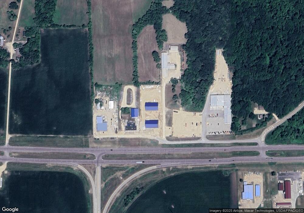
Map
Nearby Homes
- 0 Tbd S 60 Hwy Unit TBD Highway 60 S
- 419 Royal Rd
- 3202 3202 Noble Dr
- 3111 3111 Scotch Ln
- 52718 Foxtail Ln
- 1614 Le Sueur Ave
- 1705 Heritage Dr
- 1701 Heritage Dr
- 1713 Heritage Dr
- 1709 Heritage Dr
- 52765 409th Ave
- 1725 Heritage Dr
- 1717 Heritage Dr
- 1700 Heritage Dr
- 1704 Heritage Dr
- 1708 Heritage Dr
- 1721 Heritage Dr
- 1712 Heritage Dr
- 1740 Heritage Dr
- 17 Oriole Place
- 54040 Gadwall Rd
- 54040 Loren Dr
- 53800 208th Ln
- 54090 Loren Dr
- 54102 Us Highway 169
- 53804 208th Ln
- 54192 Gadwall Rd
- xxx State Hwy 60
- 54190 Gadwall Rd
- 20646 U S Highway 169
- 20612 U S Highway 169
- 54184 209th Ln
- 54129 Gadwall Rd
- 54188 209th Ln
- 54196 209th Ln
- 54206 209th Ln
- 54224 209th Ln
- 53800 Tbd 211th Ln
- 54234 209th Ln
- 20531 U S Highway 169