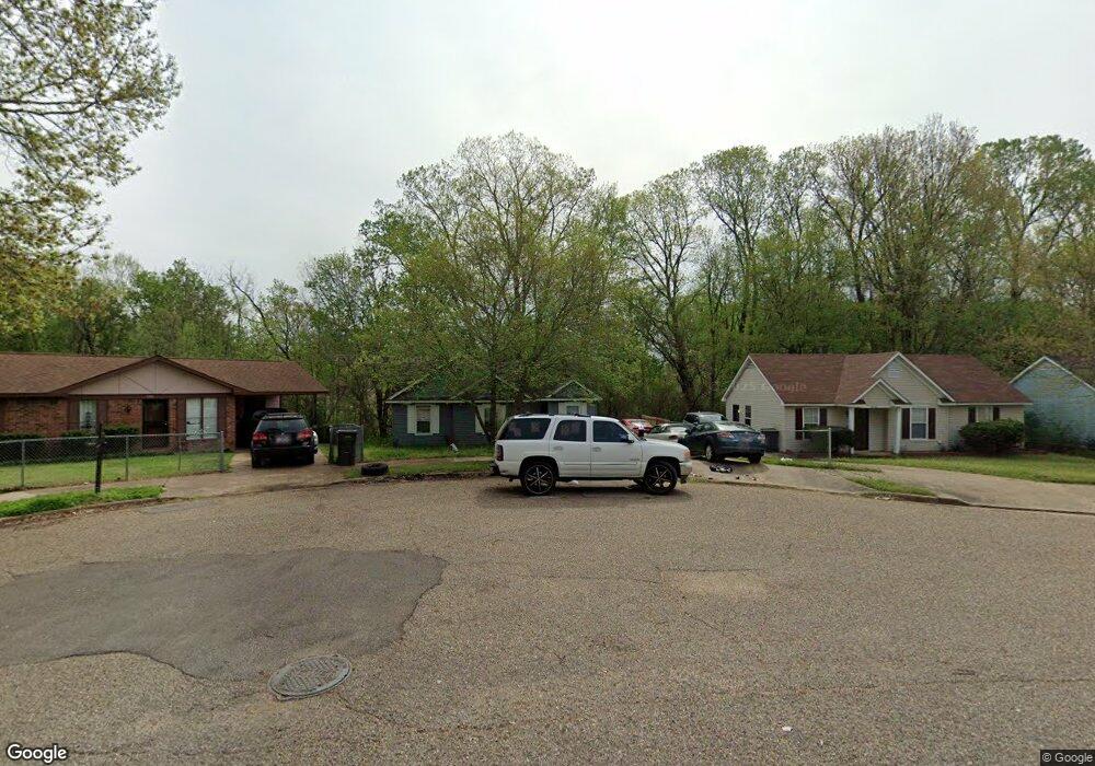
5396 Cornstalk Cove Memphis, TN 38127
Estimated Value: $94,000 - $109,286
3
Beds
1
Bath
1,005
Sq Ft
$102/Sq Ft
Est. Value
About This Home
This home is located at 5396 Cornstalk Cove, Memphis, TN 38127 and is currently estimated at $102,322, approximately $101 per square foot. 5396 Cornstalk Cove is a home located in Shelby County with nearby schools including Northaven Elementary School, Woodstock Middle School, and Trezevant High School.
Ownership History
Date
Name
Owned For
Owner Type
Purchase Details
Closed on
Jan 16, 2006
Sold by
Cain Keith M
Bought by
Hud
Current Estimated Value
Purchase Details
Closed on
Oct 1, 1996
Sold by
Bright Future Homes Inc
Bought by
Cain Keith M
Home Financials for this Owner
Home Financials are based on the most recent Mortgage that was taken out on this home.
Original Mortgage
$43,640
Interest Rate
7.87%
Mortgage Type
FHA
Create a Home Valuation Report for This Property
The Home Valuation Report is an in-depth analysis detailing your home's value as well as a comparison with similar homes in the area
Home Values in the Area
Average Home Value in this Area
Purchase History
| Date | Buyer | Sale Price | Title Company |
|---|---|---|---|
| Hud | $51,990 | None Available | |
| Cain Keith M | $44,000 | -- |
Source: Public Records
Mortgage History
| Date | Status | Borrower | Loan Amount |
|---|---|---|---|
| Previous Owner | Cain Keith M | $43,640 | |
| Closed | Cain Keith M | $2,887 |
Source: Public Records
Tax History Compared to Growth
Tax History
| Year | Tax Paid | Tax Assessment Tax Assessment Total Assessment is a certain percentage of the fair market value that is determined by local assessors to be the total taxable value of land and additions on the property. | Land | Improvement |
|---|---|---|---|---|
| 2025 | -- | $20,350 | $2,000 | $18,350 |
| 2024 | $397 | $11,725 | $1,475 | $10,250 |
| 2023 | $397 | $11,725 | $1,475 | $10,250 |
| 2022 | $397 | $11,725 | $1,475 | $10,250 |
| 2021 | $405 | $11,725 | $1,475 | $10,250 |
| 2020 | $367 | $9,050 | $1,475 | $7,575 |
| 2019 | $367 | $9,050 | $1,475 | $7,575 |
| 2018 | $367 | $9,050 | $1,475 | $7,575 |
| 2017 | $372 | $9,050 | $1,475 | $7,575 |
| 2016 | $453 | $10,375 | $0 | $0 |
| 2014 | $453 | $10,375 | $0 | $0 |
Source: Public Records
Map
Nearby Homes
- 5387 Cornstalk Cove
- 5371 Cedar Bluff Dr
- 5423 Breckenwood Dr
- 823 Bitter Creek Cove
- 5378 Beaverton Dr
- 5382 Beaverton Dr
- 5315 Braden Dr
- 5080 Breckenwood Dr
- 5096 Belfast Dr
- 5140 Blacksmith Dr
- 5046 Breckenwood Dr
- 645 Mcwhirter Ave
- 936 Chesterton Dr
- 5030 Breckenwood Dr
- 5072 Blacksmith Dr
- 980 N Circle Rd
- 850 Carol Ann Cove
- 766 Fite Rd
- 810 Northaven Dr
- 706 Northaven Dr
- 5392 Cornstalk Cove
- 5400 Cornstalk Cove
- 5386 Cornstalk Cove
- 5404 Cornstalk Cove
- 5380 Cornstalk Cove
- 5393 Cornstalk Cove
- 5401 Cornstalk Cove
- 5397 Cornstalk Cove
- 5381 Cornstalk Cove
- 5374 Cornstalk Cove
- 985 Robertson Rd
- 5375 Cornstalk Cove
- 5368 Cornstalk Cove
- 5398 Cedar Bluff Dr
- 5404 Cedar Bluff Dr
- 5392 Cedar Bluff Dr
- 976 Robertson Rd
- 5410 Cedar Bluff Dr
- 5369 Cornstalk Cove
- 5386 Cedar Bluff Dr