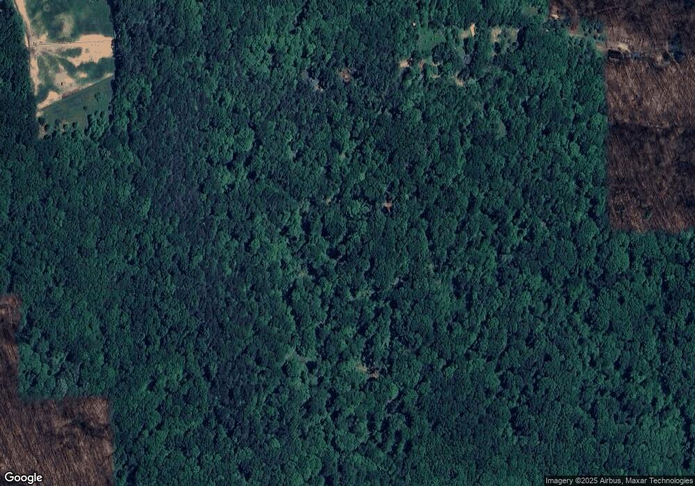
5396 E Boshears Rd Bloomington, IN 47408
Estimated Value: $434,000 - $589,582
5
Beds
3
Baths
2,960
Sq Ft
$173/Sq Ft
Est. Value
About This Home
This home is located at 5396 E Boshears Rd, Bloomington, IN 47408 and is currently estimated at $511,791, approximately $172 per square foot. 5396 E Boshears Rd is a home located in Monroe County with nearby schools including Unionville Elementary School, Tri-North Middle School, and Bloomington High School North.
Ownership History
Date
Name
Owned For
Owner Type
Purchase Details
Closed on
Jul 25, 2016
Sold by
Shipps Anthony W and Shipps Jan B
Bought by
Clendening Daniel
Current Estimated Value
Home Financials for this Owner
Home Financials are based on the most recent Mortgage that was taken out on this home.
Original Mortgage
$304,000
Outstanding Balance
$243,181
Interest Rate
3.56%
Mortgage Type
New Conventional
Estimated Equity
$268,610
Purchase Details
Closed on
Aug 17, 2011
Sold by
Shipps Anthony W and Shipps Jan B
Bought by
Shipps Anthony W and Shipps Jan B
Create a Home Valuation Report for This Property
The Home Valuation Report is an in-depth analysis detailing your home's value as well as a comparison with similar homes in the area
Purchase History
| Date | Buyer | Sale Price | Title Company |
|---|---|---|---|
| Clendening Daniel | -- | None Available | |
| Shipps Anthony W | -- | None Available |
Source: Public Records
Mortgage History
| Date | Status | Borrower | Loan Amount |
|---|---|---|---|
| Open | Clendening Daniel | $304,000 |
Source: Public Records
Tax History
| Year | Tax Paid | Tax Assessment Tax Assessment Total Assessment is a certain percentage of the fair market value that is determined by local assessors to be the total taxable value of land and additions on the property. | Land | Improvement |
|---|---|---|---|---|
| 2024 | $2,514 | $328,300 | $52,900 | $275,400 |
| 2023 | $2,338 | $307,300 | $48,000 | $259,300 |
| 2022 | $2,045 | $266,000 | $35,400 | $230,600 |
| 2021 | $1,967 | $247,200 | $35,400 | $211,800 |
| 2020 | $1,567 | $229,500 | $30,400 | $199,100 |
| 2019 | $1,449 | $216,300 | $25,400 | $190,900 |
| 2018 | $1,463 | $215,900 | $20,400 | $195,500 |
| 2017 | $1,503 | $218,000 | $21,600 | $196,400 |
| 2016 | $1,250 | $190,400 | $21,600 | $168,800 |
| 2014 | $1,194 | $185,700 | $22,000 | $163,700 |
Source: Public Records
Map
Nearby Homes
- 5771 E Kings Rd
- 4689 E State Road 45
- 1601 N Prairie Green Ct
- 4638 E State Road 45
- 5520 E Ariel Way Unit 19
- 5005 E State Road 46
- 5525 E Ariel Way Unit 18
- 5290 E State Road 46
- 5373 E State Road 45
- 4424 E 10th St
- 4317 E Wembley Ct
- 4314 E Stephens Dr
- 4602 E Falls Creek Dr
- 810 N Callery Dr
- xxxx Rd
- 4021 E Morningside Dr
- 3801 N Bittersweet Dr
- 3621 E Post Rd
- 3615 E Post Rd
- 121 S Smith Rd
- 5396 E Boshears Rd
- 5734 E Boshears Rd
- 5808 E Boshears Rd
- 5889 E Boshears Rd
- 5997 E Boshears Rd
- 2360 N Mount Gilead Rd
- 2340 N Mount Gilead Rd
- 2388 N Mount Gilead Rd
- 2300 N Mount Gilead Rd
- 2376 N Mount Gilead Rd
- 5001 E Boshears Rd
- 2309 N Mount Gilead Rd
- 2375 N Mount Gilead Rd
- 2148 N Mount Gilead Rd
- 2195 N Mount Gilead Rd
- 2400 N Mount Gilead Rd
- 2211 N Mount Gilead Rd
- 2420 N Mount Gilead Rd
- 2199 N Mount Gilead Rd
- 2144 N Mount Gilead Rd
