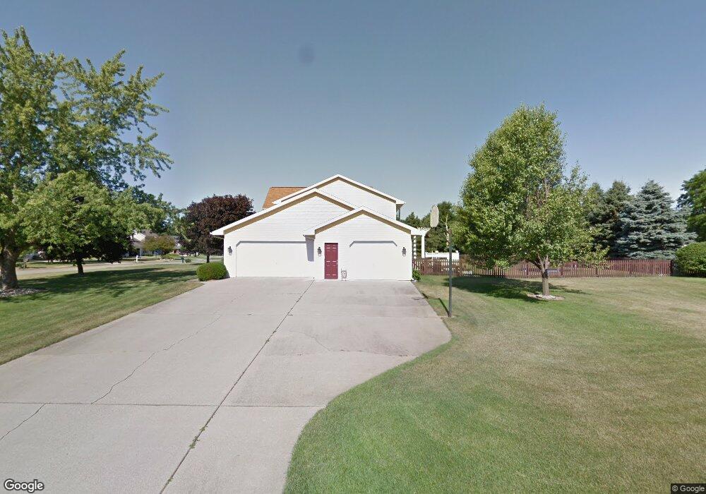
5396 Heathrow Ave Kalamazoo, MI 49009
Estimated Value: $402,004 - $441,000
4
Beds
3
Baths
2,040
Sq Ft
$203/Sq Ft
Est. Value
About This Home
This home is located at 5396 Heathrow Ave, Kalamazoo, MI 49009 and is currently estimated at $414,751, approximately $203 per square foot. 5396 Heathrow Ave is a home located in Kalamazoo County with nearby schools including 12th Street Elementary School, Portage West Middle School, and Portage Central High School.
Ownership History
Date
Name
Owned For
Owner Type
Purchase Details
Closed on
Mar 15, 2005
Sold by
Knapp David L and Knapp Amy R
Bought by
Lotz Steven C and Lotz Susan
Current Estimated Value
Home Financials for this Owner
Home Financials are based on the most recent Mortgage that was taken out on this home.
Original Mortgage
$184,000
Outstanding Balance
$93,283
Interest Rate
5.61%
Mortgage Type
Purchase Money Mortgage
Estimated Equity
$321,468
Create a Home Valuation Report for This Property
The Home Valuation Report is an in-depth analysis detailing your home's value as well as a comparison with similar homes in the area
Home Values in the Area
Average Home Value in this Area
Purchase History
| Date | Buyer | Sale Price | Title Company |
|---|---|---|---|
| Lotz Steven C | $230,000 | Chicago Title |
Source: Public Records
Mortgage History
| Date | Status | Borrower | Loan Amount |
|---|---|---|---|
| Open | Lotz Steven C | $184,000 |
Source: Public Records
Tax History Compared to Growth
Tax History
| Year | Tax Paid | Tax Assessment Tax Assessment Total Assessment is a certain percentage of the fair market value that is determined by local assessors to be the total taxable value of land and additions on the property. | Land | Improvement |
|---|---|---|---|---|
| 2025 | $4,639 | $172,200 | $0 | $0 |
| 2024 | $1,347 | $158,900 | $0 | $0 |
| 2023 | $1,284 | $143,600 | $0 | $0 |
| 2022 | $4,214 | $127,600 | $0 | $0 |
| 2021 | $4,095 | $130,900 | $0 | $0 |
| 2020 | $3,998 | $129,800 | $0 | $0 |
| 2019 | $3,655 | $118,600 | $0 | $0 |
| 2018 | $2,248 | $104,200 | $0 | $0 |
| 2017 | -- | $105,300 | $0 | $0 |
| 2016 | -- | $101,500 | $0 | $0 |
| 2015 | -- | $108,200 | $13,800 | $94,400 |
| 2014 | -- | $108,200 | $0 | $0 |
Source: Public Records
Map
Nearby Homes
- 7296 Annandale Dr
- 7175 Hopkinton Dr
- 5464 Cypress Bay Dr
- 7337 Roslindale Trail
- 7566 Cobblewood Dr
- 6971 Annandale Dr
- 5661 Attleberry Ave
- 5804 Boxthorn Trail
- 5660 Saddle Club Dr
- 6787 Tiger Lily Dr Unit 55
- 5928 Boxthorn Trail
- 6782 Southwind St Unit 68
- 7449 S 10th St
- 5978 Boxthorn Trail
- 5825 Saddle Club Dr
- 7895 Deerpath Rd
- 5189 Queen Victoria Ln
- 5850 Dunwoody Ct
- 7873 Shepherds Glen Ct
- 4788 Norfolk Cir
- 5420 Heathrow Ave
- 17 Gatwick Ct
- 15 Gatwick Ct
- 5401 Gatwick Ct
- 5401 Heathrow Ave
- 5360 Heathrow Ave
- 5427 Gatwick Ct
- 5440 Heathrow Ave
- 5362 Gatwick Ct
- 5379 Heathrow Ave
- 5423 Heathrow Ave
- 5357 Heathrow Ave
- 5372 Gatwick Ct
- 5336 Heathrow Ave
- 5447 Gatwick Ct
- 5445 Heathrow Ave
- 5464 Heathrow Ave
- 5335 Heathrow Ave
- 5384 Gatwick Ct
- 7290 Hunters Ridge Dr