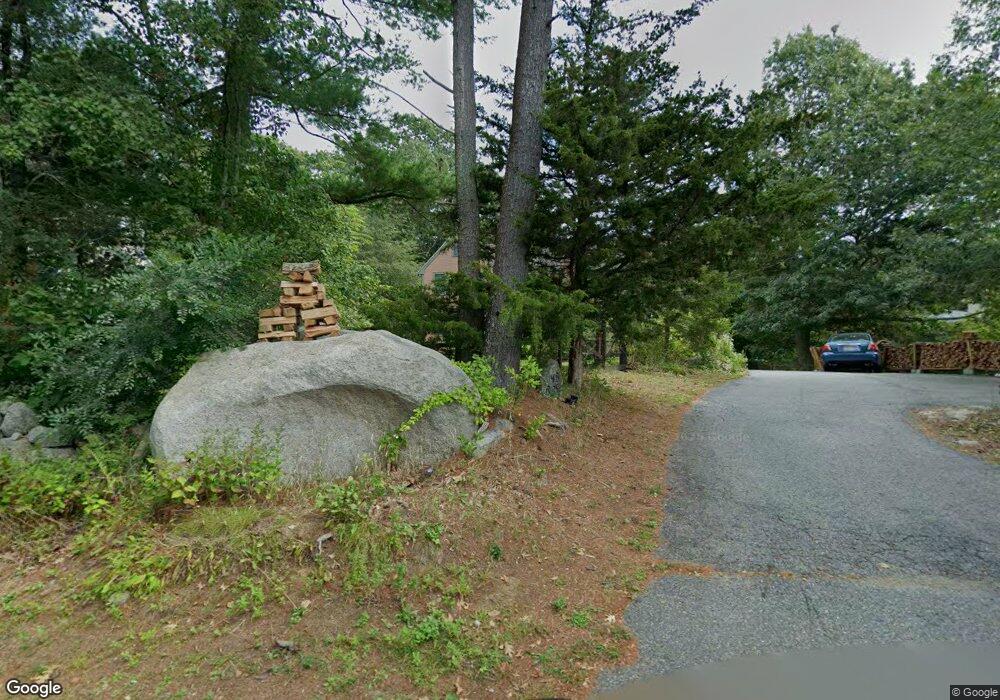
54 Bennett St S Gloucester, MA 01930
Estimated Value: $1,024,532 - $1,608,000
3
Beds
2
Baths
2,234
Sq Ft
$565/Sq Ft
Est. Value
About This Home
This home is located at 54 Bennett St S, Gloucester, MA 01930 and is currently estimated at $1,262,883, approximately $565 per square foot. 54 Bennett St S is a home located in Essex County with nearby schools including Plum Cove School, Ralph B O'maley Middle School, and Gloucester High School.
Ownership History
Date
Name
Owned For
Owner Type
Purchase Details
Closed on
Aug 13, 2021
Sold by
Somers Glenn P and Somers Kathleen E
Bought by
Somers Rachel L
Current Estimated Value
Purchase Details
Closed on
Nov 8, 1996
Sold by
King Of The Hill Rt and Jacobs Beverly
Bought by
Somers Glenn P and Somers Kathleen
Create a Home Valuation Report for This Property
The Home Valuation Report is an in-depth analysis detailing your home's value as well as a comparison with similar homes in the area
Purchase History
| Date | Buyer | Sale Price | Title Company |
|---|---|---|---|
| Somers Rachel L | -- | None Available | |
| Somers Glenn P | $20,000 | -- |
Source: Public Records
Mortgage History
| Date | Status | Borrower | Loan Amount |
|---|---|---|---|
| Previous Owner | Somers Glenn P | $55,000 | |
| Previous Owner | Somers Glenn P | $62,000 | |
| Previous Owner | Somers Glenn P | $20,000 |
Source: Public Records
Tax History
| Year | Tax Paid | Tax Assessment Tax Assessment Total Assessment is a certain percentage of the fair market value that is determined by local assessors to be the total taxable value of land and additions on the property. | Land | Improvement |
|---|---|---|---|---|
| 2025 | $8,711 | $896,200 | $287,500 | $608,700 |
| 2024 | $8,086 | $831,000 | $273,800 | $557,200 |
| 2023 | $7,572 | $715,000 | $244,400 | $470,600 |
| 2022 | $7,343 | $626,000 | $212,500 | $413,500 |
| 2021 | $7,116 | $572,000 | $193,500 | $378,500 |
| 2020 | $7,193 | $583,400 | $193,500 | $389,900 |
| 2019 | $7,472 | $588,800 | $193,500 | $395,300 |
| 2018 | $7,037 | $544,200 | $193,500 | $350,700 |
| 2017 | $7,057 | $535,000 | $184,300 | $350,700 |
| 2016 | $7,061 | $518,800 | $192,400 | $326,400 |
| 2015 | $6,805 | $498,500 | $192,400 | $306,100 |
Source: Public Records
Map
Nearby Homes
- 672 Washington St
- 136 Leonard St
- 4 Ciaramitaro Ct
- 2 Breezy Point Rd
- 3 Deacon Farm Ln
- 226 Atlantic St
- 9 Hickory St
- 1030 Washington St
- 43 High St Unit B
- 31 Echo Ave
- 13 Honeysuckle Rd
- 178 Atlantic St
- 167 Atlantic St
- 10 Emerald St
- 33 Quarry Ridge Ln Unit 33
- 177 Main St
- 5 Boulder Top
- 5 Smith St Unit R
- 1 Charte Ct
- 13 Mystic Ave
- 40 Bennett St S
- 48 Bennett St S
- 50 Bennett St S
- 52 Bennett St S
- 46 Bennett St S
- 44 Bennett St S
- 84 Dennison St
- 42 Bennett St S
- 5 Tufts Ln
- 3 Tufts Ln
- 43 Bennett St S
- 45 Bennett St S
- 1 Tufts Ln
- 47 Bennett St S
- 60 Bennett St S
- 49 Bennett St S
- 41R Bennett St S
- 41 Bennett St S
- 82 Dennison St
- 62 Bennett St S
Your Personal Tour Guide
Ask me questions while you tour the home.