54 Bird Dog Ln Dunlap, TN 37327
Estimated Value: $483,000 - $544,000
2
Beds
3
Baths
1,920
Sq Ft
$266/Sq Ft
Est. Value
About This Home
This home is located at 54 Bird Dog Ln, Dunlap, TN 37327 and is currently estimated at $511,667, approximately $266 per square foot. 54 Bird Dog Ln is a home located in Bledsoe County with nearby schools including Bledsoe County High School.
Ownership History
Date
Name
Owned For
Owner Type
Purchase Details
Closed on
Jan 3, 2018
Sold by
Crutchfield Guy Anthony and Crutchfield Cynthia
Bought by
Honeycutt Randall K and Honeycutt Kimberly D
Current Estimated Value
Purchase Details
Closed on
Jun 8, 2007
Sold by
Bertram Samuel Russell
Bought by
Honeycutt Randall K
Purchase Details
Closed on
Jul 10, 1998
Bought by
Stevens Bryan L
Create a Home Valuation Report for This Property
The Home Valuation Report is an in-depth analysis detailing your home's value as well as a comparison with similar homes in the area
Home Values in the Area
Average Home Value in this Area
Purchase History
| Date | Buyer | Sale Price | Title Company |
|---|---|---|---|
| Honeycutt Randall K | $38,000 | None Available | |
| Honeycutt Randall K | $230,000 | -- | |
| Stevens Bryan L | $14,200 | -- |
Source: Public Records
Tax History Compared to Growth
Tax History
| Year | Tax Paid | Tax Assessment Tax Assessment Total Assessment is a certain percentage of the fair market value that is determined by local assessors to be the total taxable value of land and additions on the property. | Land | Improvement |
|---|---|---|---|---|
| 2024 | $1,295 | $62,750 | $9,825 | $52,925 |
| 2023 | $1,295 | $62,750 | $9,825 | $52,925 |
| 2022 | $1,175 | $62,750 | $9,825 | $52,925 |
| 2021 | $1,331 | $55,775 | $8,950 | $46,825 |
| 2020 | $1,331 | $55,775 | $8,950 | $46,825 |
| 2019 | $1,596 | $55,775 | $8,950 | $46,825 |
| 2018 | $1,475 | $66,875 | $20,050 | $46,825 |
| 2017 | $1,475 | $66,875 | $20,050 | $46,825 |
| 2016 | $1,286 | $56,750 | $15,275 | $41,475 |
| 2015 | $1,275 | $57,550 | $15,275 | $42,275 |
| 2014 | $1,275 | $57,550 | $15,275 | $42,275 |
Source: Public Records
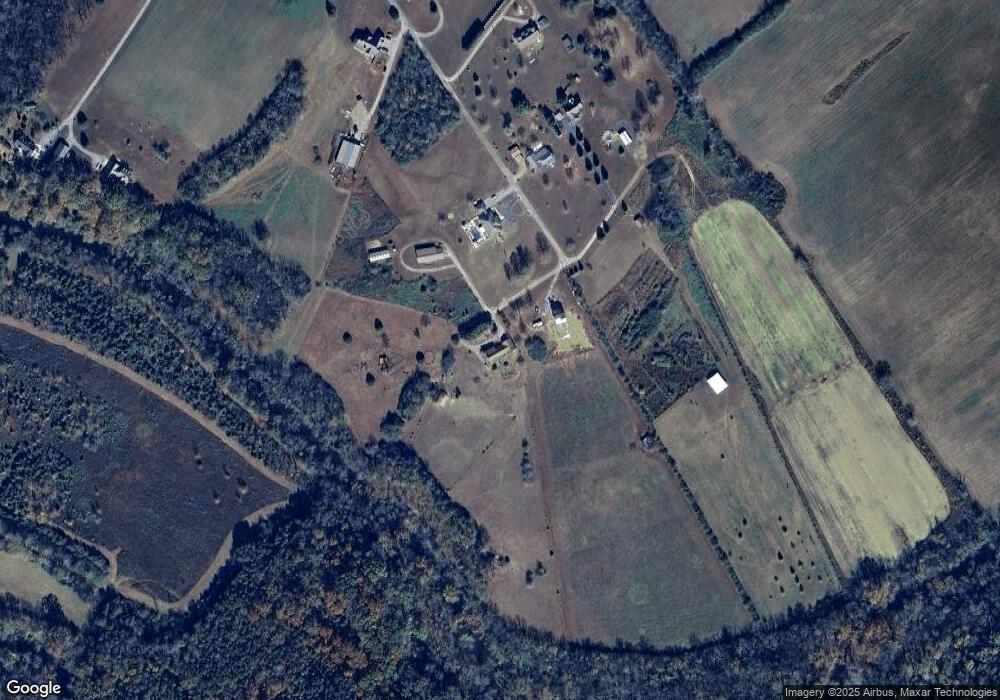
Map
Nearby Homes
- Lot 45 Dry Branch Way
- 46 Dry Branch Way
- 52 River Ridge Dr
- 0 River Ridge Dr Unit RTC2974298
- 0 River Ridge Dr Unit 1516588
- 55 River Ridge Dr
- 0 Farmview Way Unit RTC2915893
- 0 Farmview Way Unit 1507652
- 0 Farmview Way
- 77 River Ridge Dr
- 1108 Neergaard Ln
- 0 Old Highway 28
- Lot 109 Pinnacle Point Ln
- Lot 106 Pinnacle Point Ln
- 101 Pinnacle Point Ln
- Lot 105 Pinnacle Point Ln
- 415 Neergaard Ln
- 120 River Ridge Dr
- 122 River Ridge Dr
- 121 River Ridge Dr
- 54 Bird Dog Ln
- 534 Brea Rd
- 000 Bird Dog Ln
- 000 Bird Dog Ln Unit 19
- 0000 Bird Dog Ln
- 532 Brea Rd
- 18 Eden Ln
- 100 Eden Ln
- 767 Brea Rd
- 53 Eden Ln
- 56 Silver Pointe Ln
- 56 Silver Pointe Ln
- 56 Silver Pointe Ln
- 664 Brea Rd
- 601 Brea Rd
- 0 Sequatchie County Line Unit RTC2987367
- 0 Sequatchie County Line Unit RTC2293357
- 522 Brea Rd
- 516 Brea Rd
- 0 Sequatchie Co Line Unit RTC2455917