54 Blaney Rd East Wakefield, NH 03830
Estimated Value: $456,000 - $594,000
2
Beds
1
Bath
1,256
Sq Ft
$430/Sq Ft
Est. Value
About This Home
This home is located at 54 Blaney Rd, East Wakefield, NH 03830 and is currently estimated at $539,904, approximately $429 per square foot. 54 Blaney Rd is a home with nearby schools including Paul Elementary School.
Ownership History
Date
Name
Owned For
Owner Type
Purchase Details
Closed on
Sep 14, 2021
Sold by
Martel Ryan T and Martel Lisa
Bought by
Martel Ryan T and Martel Sara L
Current Estimated Value
Home Financials for this Owner
Home Financials are based on the most recent Mortgage that was taken out on this home.
Original Mortgage
$195,000
Outstanding Balance
$177,435
Interest Rate
2.8%
Mortgage Type
Stand Alone Refi Refinance Of Original Loan
Estimated Equity
$362,469
Create a Home Valuation Report for This Property
The Home Valuation Report is an in-depth analysis detailing your home's value as well as a comparison with similar homes in the area
Home Values in the Area
Average Home Value in this Area
Purchase History
| Date | Buyer | Sale Price | Title Company |
|---|---|---|---|
| Martel Ryan T | -- | None Available | |
| Martel Ryan T | -- | None Available |
Source: Public Records
Mortgage History
| Date | Status | Borrower | Loan Amount |
|---|---|---|---|
| Open | Martel Ryan T | $195,000 | |
| Closed | Martel Ryan T | $195,000 |
Source: Public Records
Tax History Compared to Growth
Tax History
| Year | Tax Paid | Tax Assessment Tax Assessment Total Assessment is a certain percentage of the fair market value that is determined by local assessors to be the total taxable value of land and additions on the property. | Land | Improvement |
|---|---|---|---|---|
| 2024 | $3,173 | $422,000 | $293,600 | $128,400 |
| 2023 | $2,891 | $422,000 | $293,600 | $128,400 |
| 2022 | $2,838 | $231,700 | $156,700 | $75,000 |
| 2021 | $2,869 | $232,500 | $156,700 | $75,800 |
| 2020 | $2,878 | $232,500 | $156,700 | $75,800 |
| 2019 | $2,899 | $232,500 | $156,700 | $75,800 |
| 2018 | $2,186 | $268,300 | $156,700 | $111,600 |
| 2017 | $2,354 | $177,500 | $107,600 | $69,900 |
| 2016 | $2,365 | $182,800 | $107,600 | $75,200 |
| 2015 | $2,387 | $182,800 | $107,600 | $75,200 |
| 2014 | $2,329 | $182,800 | $107,600 | $75,200 |
| 2013 | $2,245 | $182,800 | $107,600 | $75,200 |
Source: Public Records
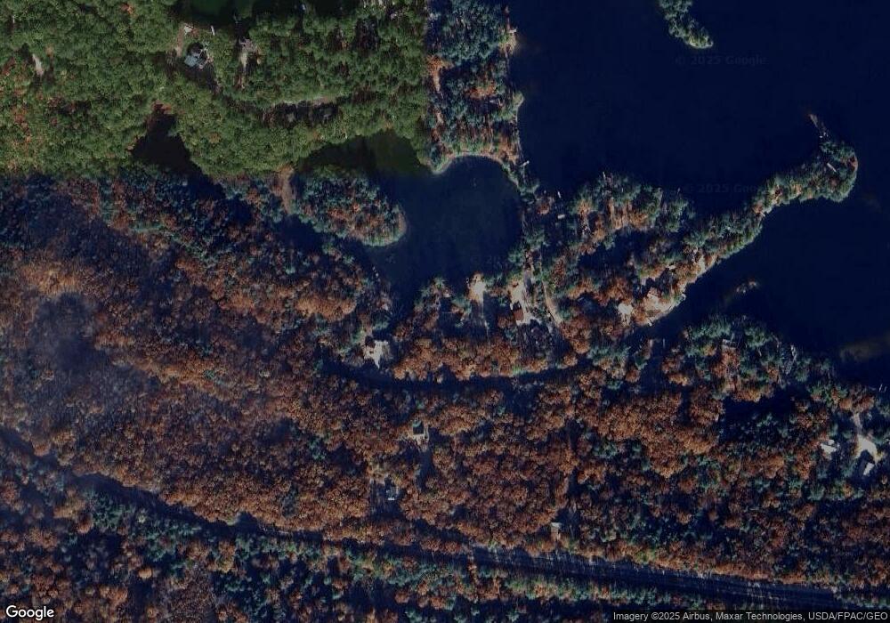
Map
Nearby Homes
- 55 Cese Way
- 115 Chandler Ln
- 149 Sleepy Hollow Rd
- 1690 Province Lake Rd
- Lots 30+18 Thornhill Rd
- 140 Perkins Hill Rd
- 2403 Province Lake Rd Unit 21000
- 00 Diane Place Unit 5
- 29 Concord Ln
- 0 Monique Dr Unit 5047887
- 322 Concord Ln
- 97 Daniel Dr
- 8 Eliot Dr
- 420 Ballards Ridge Rd
- 51 Mill Pond Rd
- 201 Beverly Hills Dr
- 59 Lake Rd
- 314 Beverly Hills Dr
- 419 Belleau Blvd
- Parcel #1 Sanborn Rd
- 76 Blaney Rd
- 76 Blaney Rd Unit 10
- * Blaney Rd
- 417 Pinewood Shores
- 395 Pinewood Shores
- 186 Barend Dr
- 420 Pinewood Shores
- 29 Blaney Rd
- 9 Brown Ln
- 12 View Point Ln
- 363 Pinewood Shore
- 364 Pinewood Shores
- 27 Brown Ln
- 196 Barend Dr
- 475 Pinewood Shores
- 470 Pinewood Shores
- 26 View Point Ln
- 499 Pinewood Shores
- 0 Barend Dr
- 0 Barend Dr Unit 256231