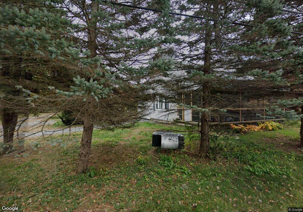
54 Brook St Hudson, MA 01749
Estimated Value: $673,000 - $780,000
3
Beds
3
Baths
2,618
Sq Ft
$286/Sq Ft
Est. Value
About This Home
This home is located at 54 Brook St, Hudson, MA 01749 and is currently estimated at $748,396, approximately $285 per square foot. 54 Brook St is a home located in Middlesex County with nearby schools including David J. Quinn Middle School, Hudson High School, and First Steps Children's Center.
Ownership History
Date
Name
Owned For
Owner Type
Purchase Details
Closed on
Sep 27, 2018
Sold by
Newcombe Donald A
Bought by
Newcombe Steven C
Current Estimated Value
Purchase Details
Closed on
Jan 23, 2018
Sold by
Newcombe Donald A Jr E
Bought by
Newcombe Donald A
Purchase Details
Closed on
Nov 7, 2006
Sold by
Donald A Newcombe T and Ramsay David H
Bought by
Newcombe Donald A
Purchase Details
Closed on
Aug 11, 1995
Sold by
Kane Clement E and Johnson Elinor F
Bought by
Newcombe Ronald A
Home Financials for this Owner
Home Financials are based on the most recent Mortgage that was taken out on this home.
Original Mortgage
$125,600
Interest Rate
7.48%
Mortgage Type
Purchase Money Mortgage
Create a Home Valuation Report for This Property
The Home Valuation Report is an in-depth analysis detailing your home's value as well as a comparison with similar homes in the area
Home Values in the Area
Average Home Value in this Area
Purchase History
| Date | Buyer | Sale Price | Title Company |
|---|---|---|---|
| Newcombe Steven C | -- | -- | |
| Newcombe Donald A | -- | -- | |
| Newcombe Donald A | -- | -- | |
| Newcombe Ronald A | $157,000 | -- |
Source: Public Records
Mortgage History
| Date | Status | Borrower | Loan Amount |
|---|---|---|---|
| Previous Owner | Newcombe Ronald A | $125,600 |
Source: Public Records
Tax History
| Year | Tax Paid | Tax Assessment Tax Assessment Total Assessment is a certain percentage of the fair market value that is determined by local assessors to be the total taxable value of land and additions on the property. | Land | Improvement |
|---|---|---|---|---|
| 2025 | $10,514 | $757,500 | $290,500 | $467,000 |
| 2024 | $9,962 | $711,600 | $266,500 | $445,100 |
| 2023 | $9,909 | $678,700 | $257,500 | $421,200 |
| 2022 | $10,116 | $637,800 | $236,500 | $401,300 |
| 2021 | $9,874 | $595,200 | $226,300 | $368,900 |
| 2020 | $9,197 | $553,700 | $222,100 | $331,600 |
| 2019 | $9,387 | $551,200 | $222,100 | $329,100 |
| 2018 | $8,272 | $501,800 | $212,500 | $289,300 |
| 2017 | $8,122 | $464,100 | $202,200 | $261,900 |
| 2016 | $7,853 | $454,200 | $202,200 | $252,000 |
| 2015 | $7,476 | $432,900 | $184,200 | $248,700 |
| 2014 | $7,201 | $413,400 | $164,400 | $249,000 |
Source: Public Records
Map
Nearby Homes
- 9 & 9A Abigail
- 210 Barton Rd
- 84 Crosby Rd
- 168 Blanchette Dr
- 7 Old North Rd
- 1 Glendale Rd
- 1 Town Line Rd
- 1 Town Line Rd Unit 18
- 8 Town Line Rd Unit 4
- 10 Old County Rd Unit 19
- 14 Old County Rd Unit 21
- 3 Shore Line Dr Unit 15
- 5 Shore Line Rd
- 8 Shoreline Dr Unit 11
- 786 Main St
- 51 Hale Rd
- 788 Main St
- 34 Hallock Point Rd
- 304 Cox St
- 425 Main St Unit 7C
- 61 Brook St
- 59 Brook St
- 63 Brook St
- 44 Brook St
- 31 Brook St
- 22 Barnes Blvd Unit 37
- 131 Murphy Rd
- 73 Brook St
- 30 Barnes Blvd Unit 29
- 34 Barnes Blvd Unit 25
- 25 Brook St
- 27 Sauta Farm Way
- 174 Chestnut St
- 0 Chestnut St L:2 Unit 72991392
- 0 Chestnut St Unit 72922277
- 0 Chestnut St L:2 Unit 72797889
- 541 Main St
- 42 Barnes Blvd Unit 42
- 42 Barnes Blvd Unit 21
- 543 Main St
Your Personal Tour Guide
Ask me questions while you tour the home.