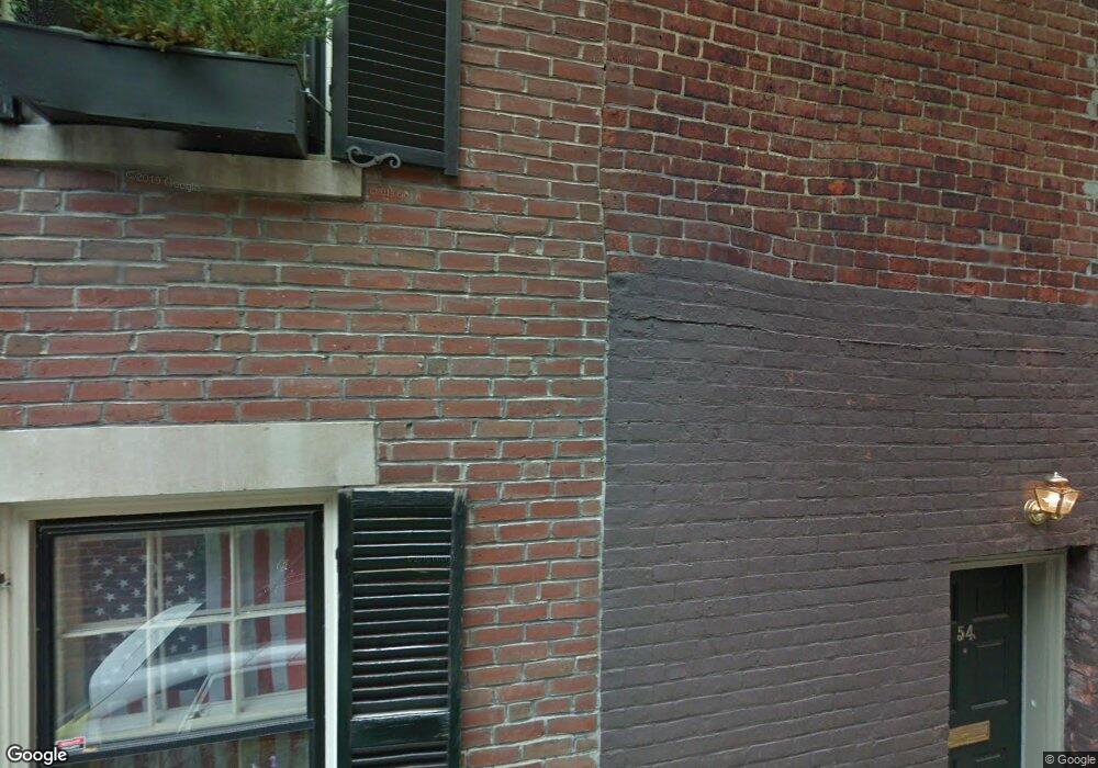
54 Cedar Lane Way Boston, MA 02108
Beacon Hill NeighborhoodEstimated Value: $2,144,176 - $2,905,000
2
Beds
2
Baths
1,900
Sq Ft
$1,276/Sq Ft
Est. Value
About This Home
This home is located at 54 Cedar Lane Way, Boston, MA 02108 and is currently estimated at $2,424,294, approximately $1,275 per square foot. 54 Cedar Lane Way is a home located in Suffolk County with nearby schools including Advent School, Park Street School, and Torit Montessori School.
Ownership History
Date
Name
Owned For
Owner Type
Purchase Details
Closed on
Oct 10, 2025
Sold by
Vilms Andres and Vilms Michelle P
Bought by
Michelle P Vilms Lt and Vilms
Current Estimated Value
Purchase Details
Closed on
Sep 29, 2006
Sold by
Bramson Robert T and Bramson Ruth A
Bought by
Vilms Andres and Vilms Michelle P
Purchase Details
Closed on
Jan 13, 1993
Sold by
Hod Rt and Tully
Bought by
Bramson Robert T and Bramson Rutha
Create a Home Valuation Report for This Property
The Home Valuation Report is an in-depth analysis detailing your home's value as well as a comparison with similar homes in the area
Home Values in the Area
Average Home Value in this Area
Purchase History
| Date | Buyer | Sale Price | Title Company |
|---|---|---|---|
| Michelle P Vilms Lt | -- | -- | |
| Vilms Andres | $1,150,000 | -- | |
| Vilms Andres | $1,150,000 | -- | |
| Bramson Robert T | $290,000 | -- |
Source: Public Records
Mortgage History
| Date | Status | Borrower | Loan Amount |
|---|---|---|---|
| Previous Owner | Bramson Robert T | $930,000 | |
| Previous Owner | Bramson Robert T | $922,000 |
Source: Public Records
Tax History Compared to Growth
Tax History
| Year | Tax Paid | Tax Assessment Tax Assessment Total Assessment is a certain percentage of the fair market value that is determined by local assessors to be the total taxable value of land and additions on the property. | Land | Improvement |
|---|---|---|---|---|
| 2025 | $23,379 | $2,018,900 | $1,247,200 | $771,700 |
| 2024 | $23,947 | $2,197,000 | $1,096,100 | $1,100,900 |
| 2023 | $23,596 | $2,197,000 | $1,096,100 | $1,100,900 |
| 2022 | $22,765 | $2,092,400 | $1,043,900 | $1,048,500 |
| 2021 | $21,887 | $2,051,300 | $1,023,400 | $1,027,900 |
| 2020 | $18,939 | $1,793,500 | $874,300 | $919,200 |
| 2019 | $18,009 | $1,708,600 | $713,100 | $995,500 |
| 2018 | $16,742 | $1,597,500 | $713,100 | $884,400 |
| 2017 | $16,112 | $1,521,400 | $713,100 | $808,300 |
| 2016 | $16,092 | $1,462,900 | $713,100 | $749,800 |
| 2015 | $17,428 | $1,439,100 | $646,100 | $793,000 |
| 2014 | $17,241 | $1,370,500 | $646,100 | $724,400 |
Source: Public Records
Map
Nearby Homes
- 101 Pinckney St
- 111 Pinckney St Unit 2
- 80 Revere St Unit 1
- 32 W Cedar St
- 15 W Cedar St
- 75 Charles St Unit 4B
- 59 W Cedar St Unit 6
- 22 Louisburg Square
- 64 Revere St
- 120 Charles St
- 94 Mount Vernon St
- 11 W Cedar St
- 70 Phillips St Unit 3
- 68 Phillips St Unit 4
- 45 Revere St Unit B
- 90 Mount Vernon St
- 140 Charles St Unit 2
- 86 Mount Vernon St
- 39 Revere St Unit 6
- 144 Charles Street Space 2-36
- 54 Cedar Lane Way Unit A
- 52 Cedar Lane Way
- 50 Cedar Lane Way Unit 4
- 91 Charles St Unit 4
- 91 Charles St Unit 3
- 91 Charles St Unit 2
- 91 Charles St Unit 91
- 91 Charles St
- 89 Charles St
- 89 Charles St Unit 1
- 93 Charles St Unit 93R
- 93 Charles St Unit 93R
- 93 Charles St Unit 93R
- 93 Charles St Unit 93R
- 93 Charles St Unit 93R
- 93 Charles St Unit 93R
- 93 Charles St
- 93 Charles St Unit 1
- 93 Charles St
- 92 Pinckney St Unit A